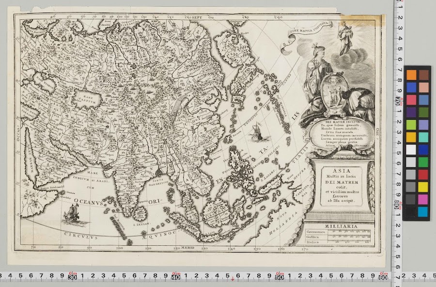
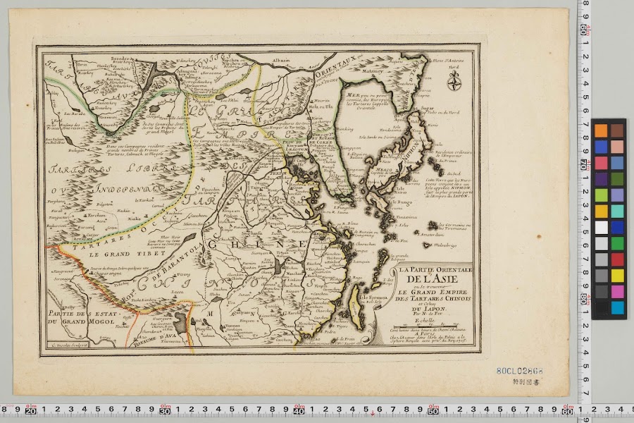
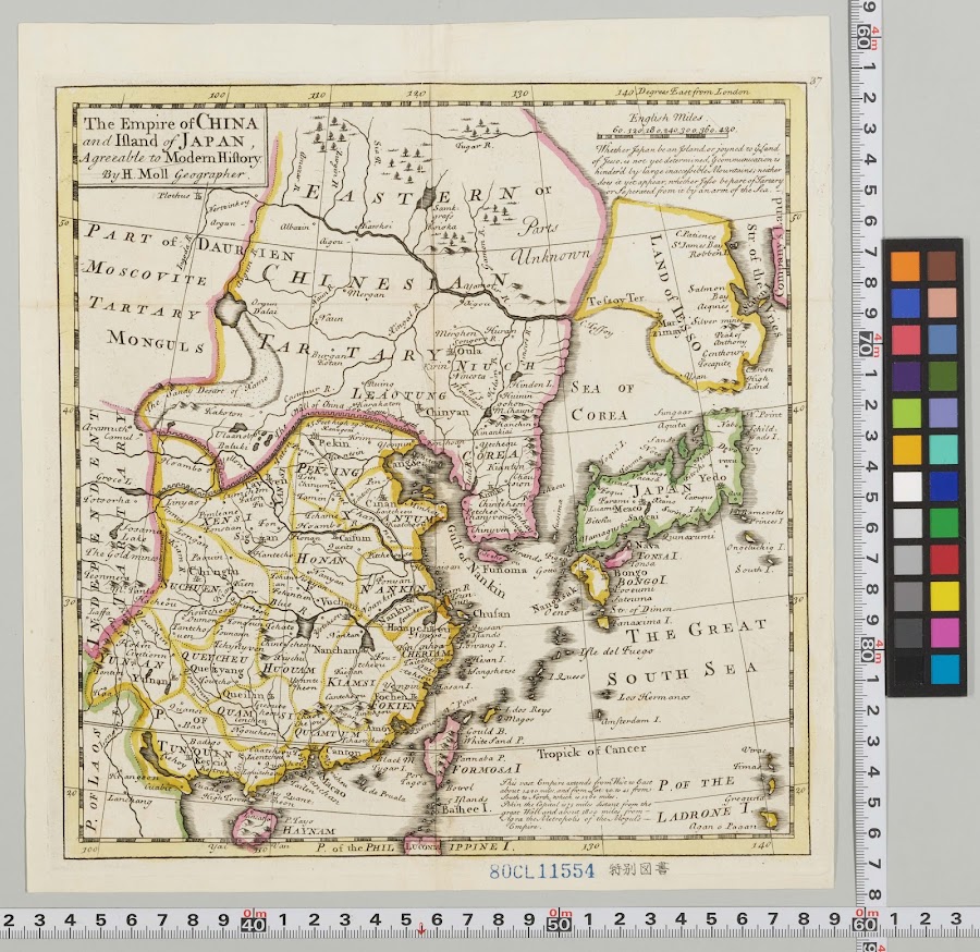
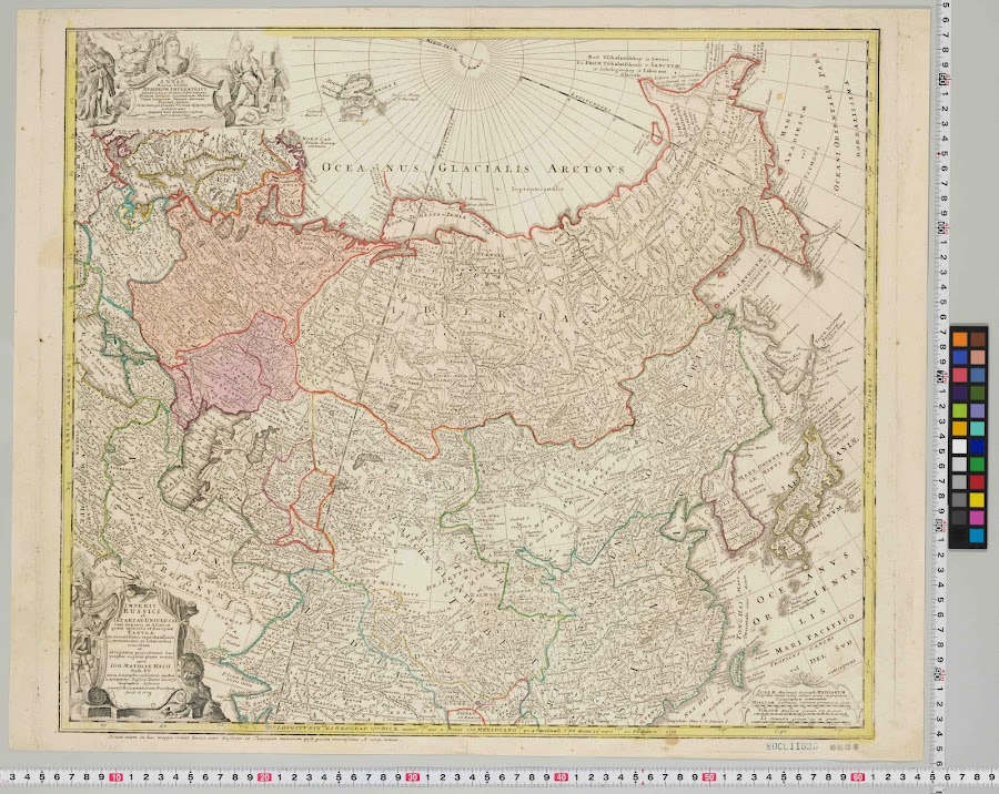
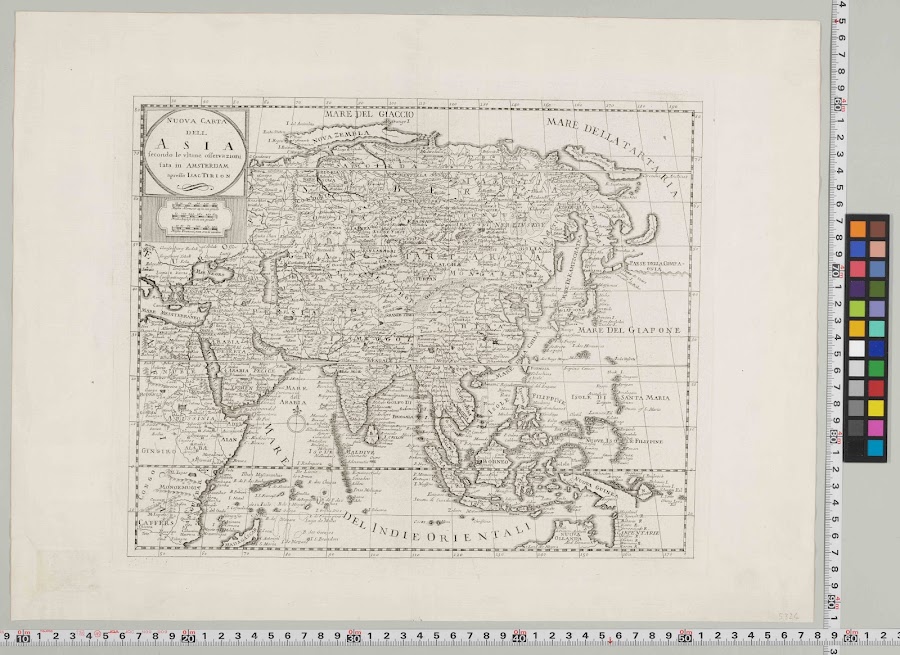
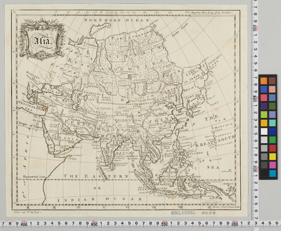
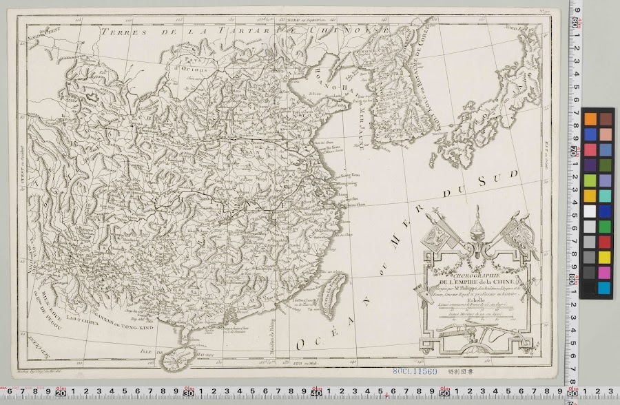
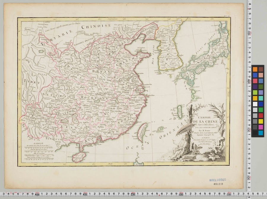
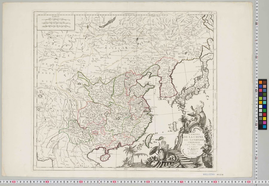
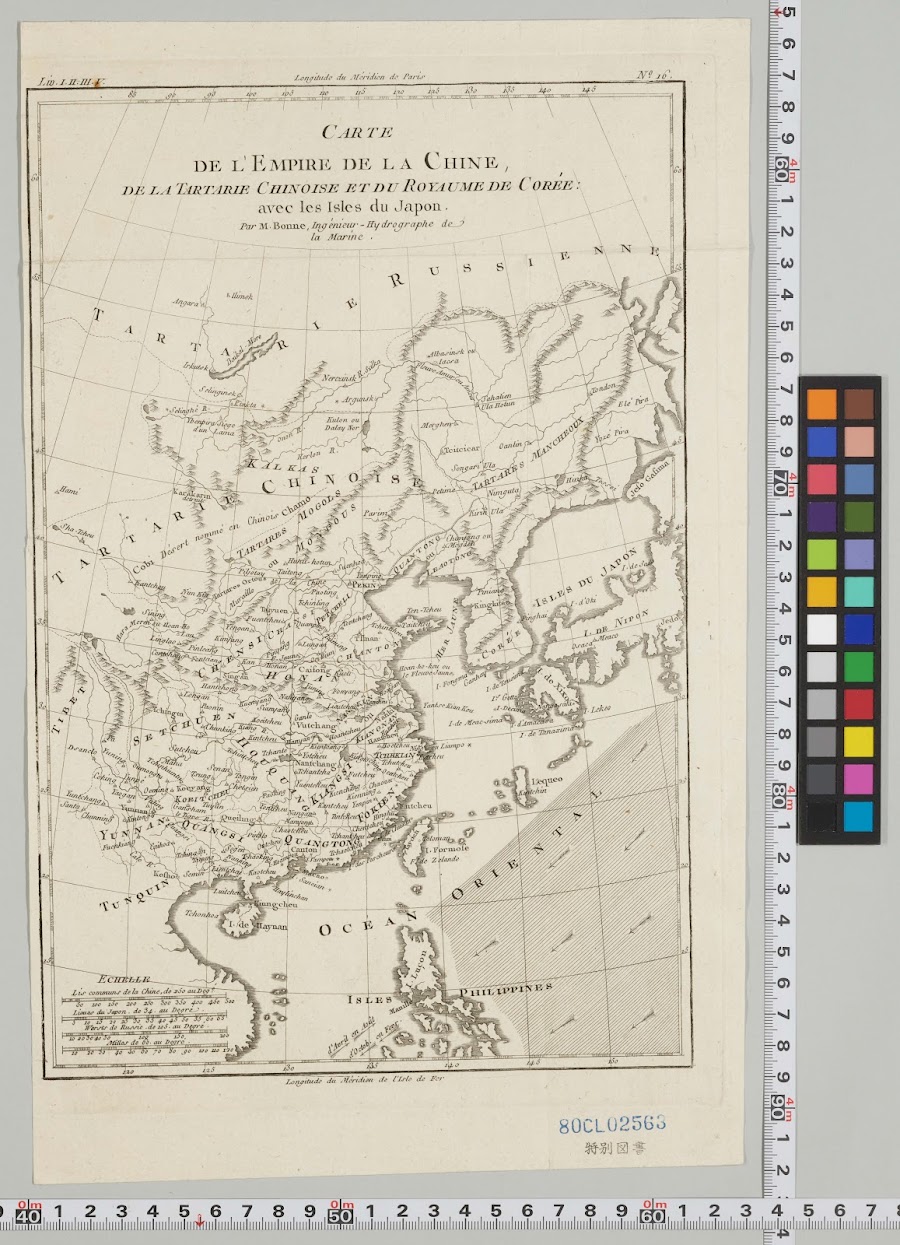
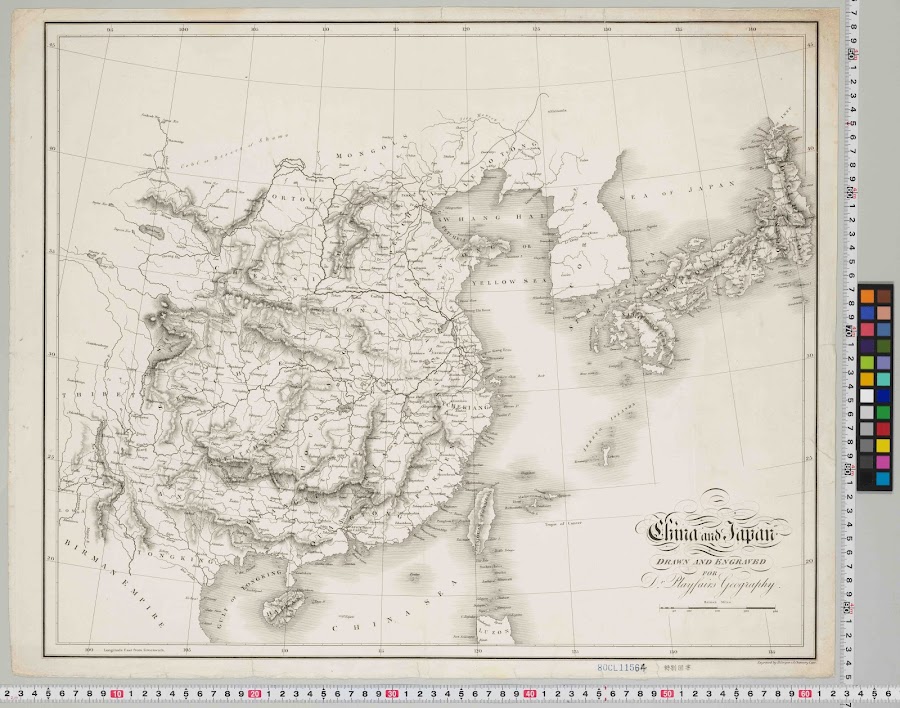
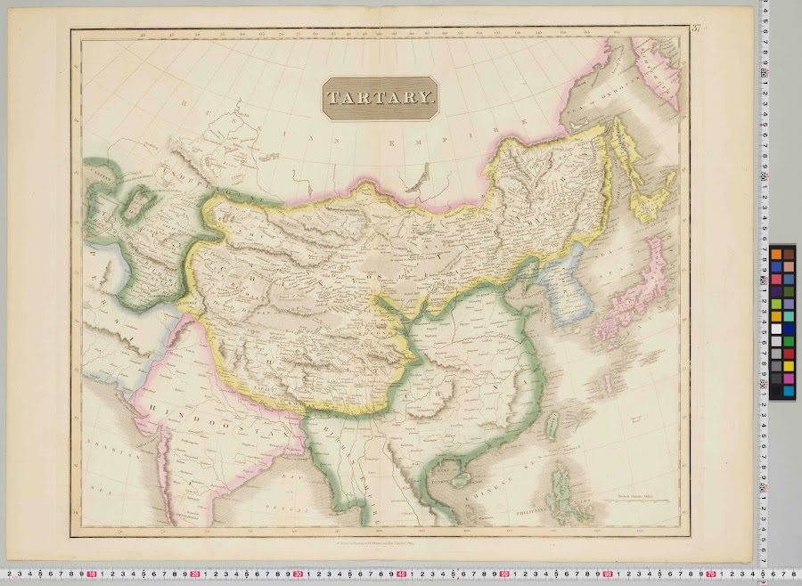
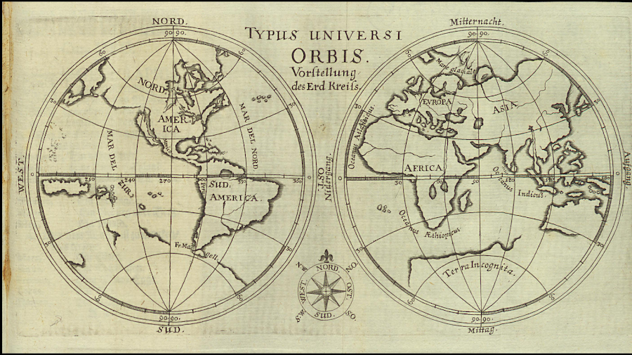
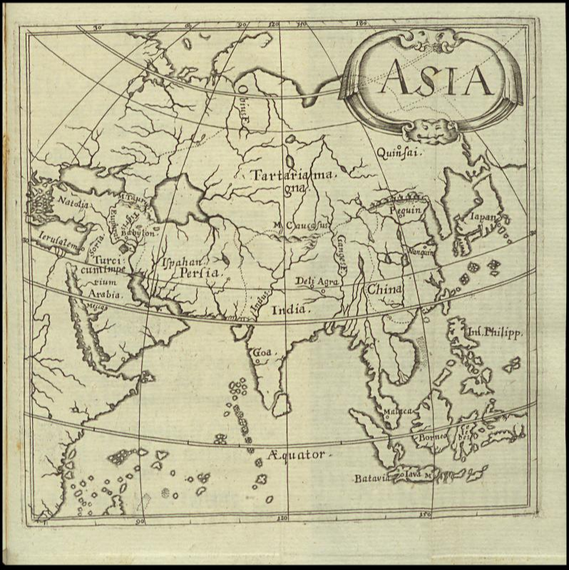
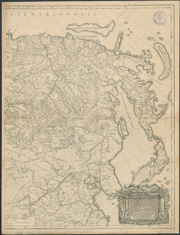
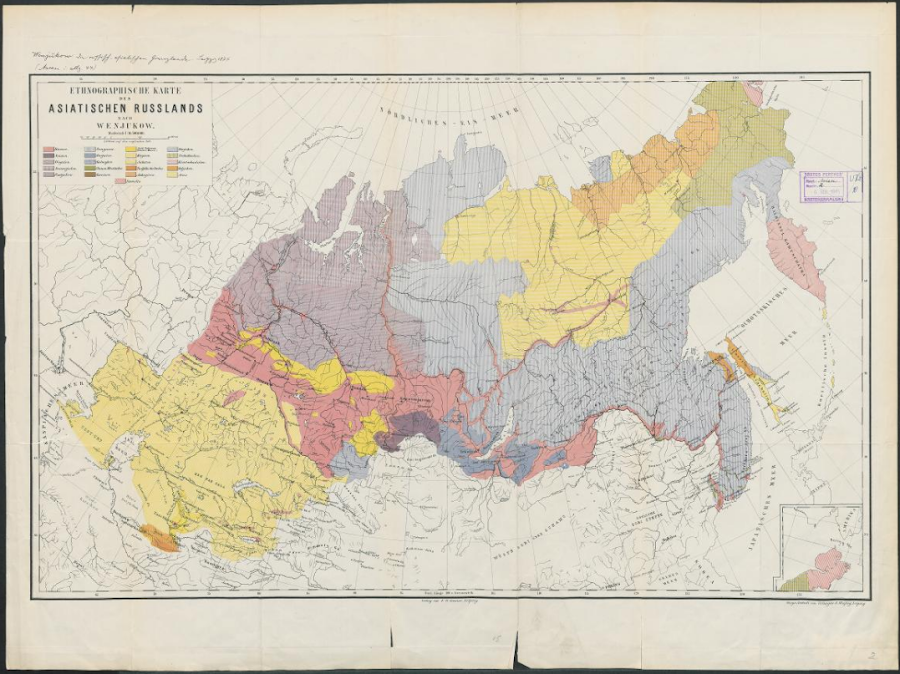
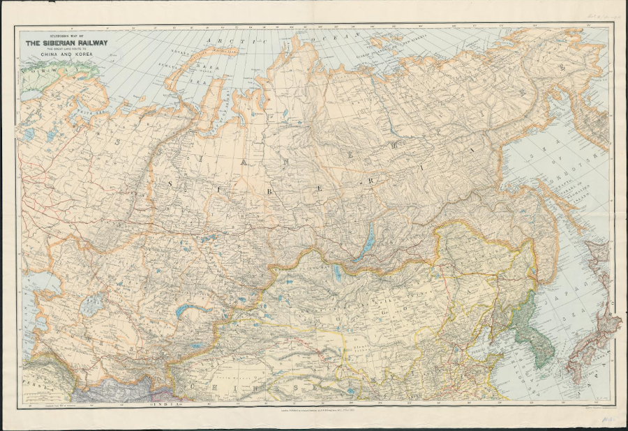
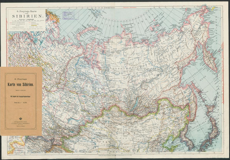
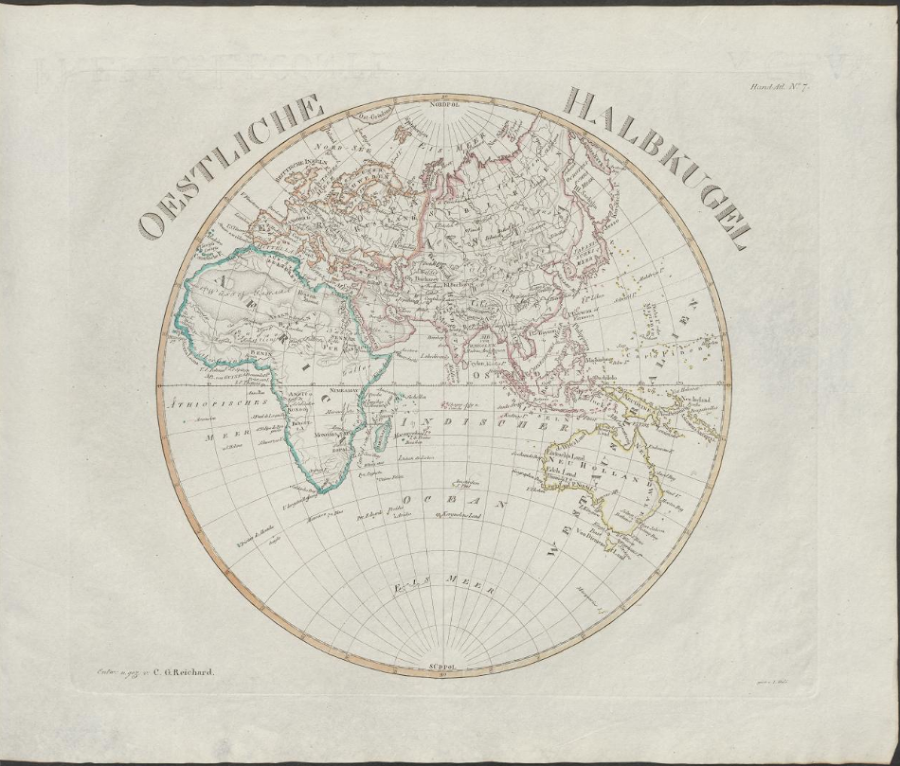
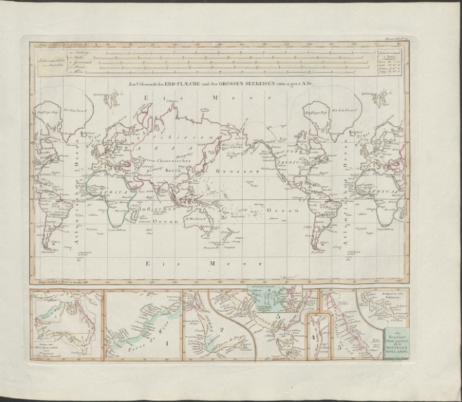
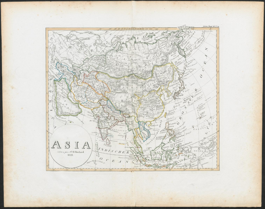
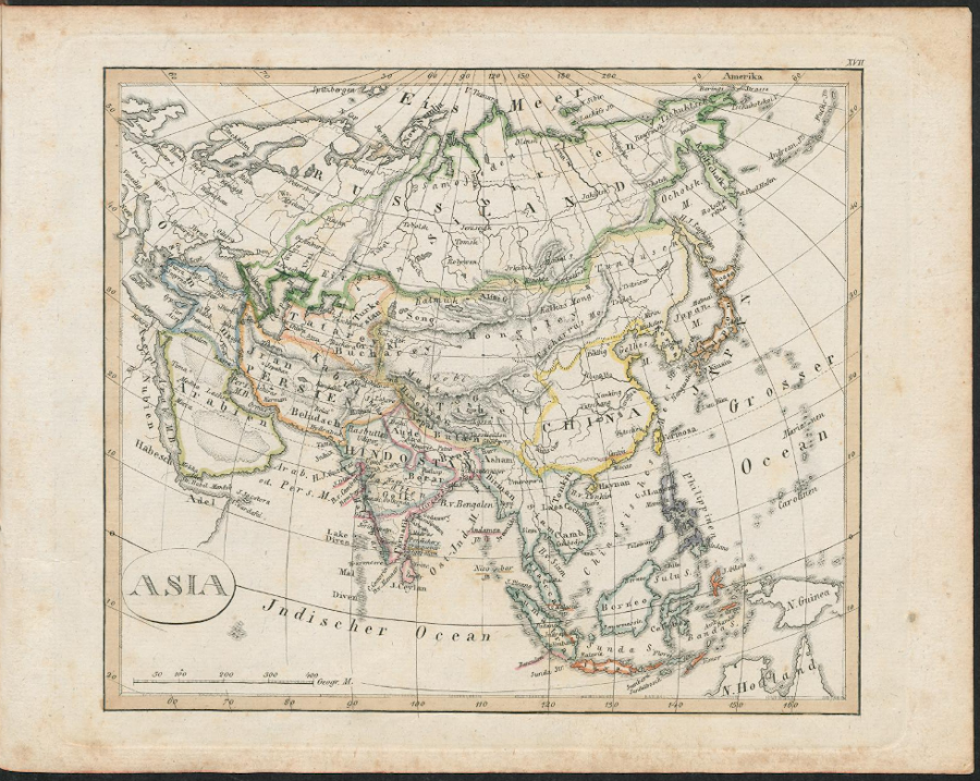
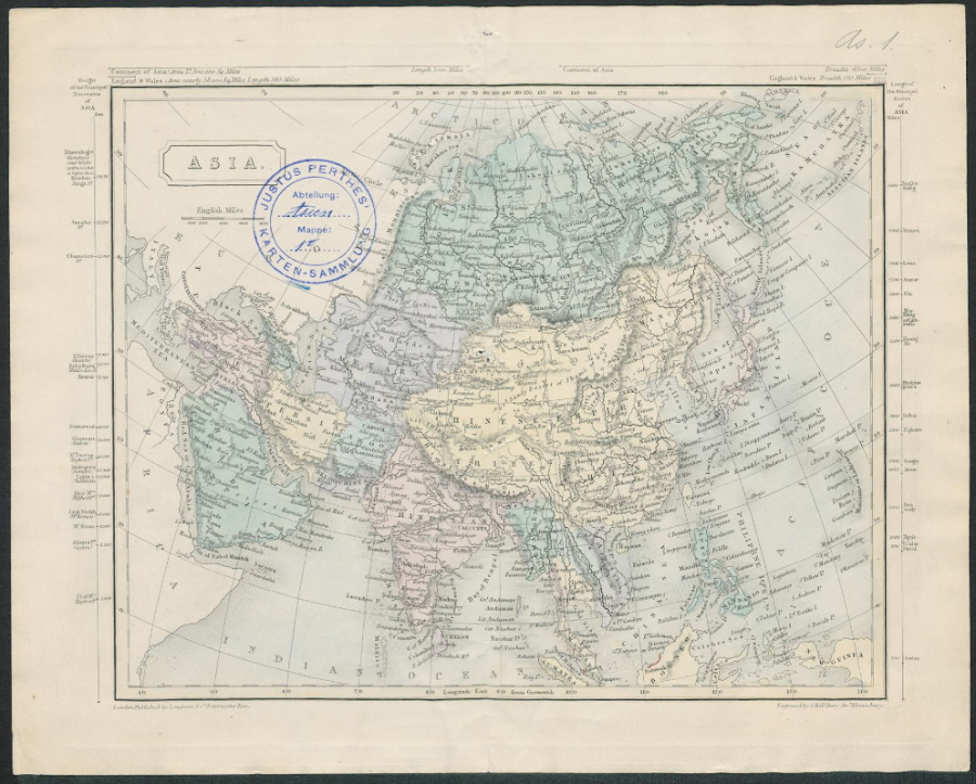
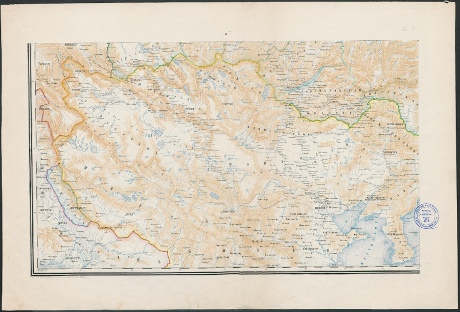
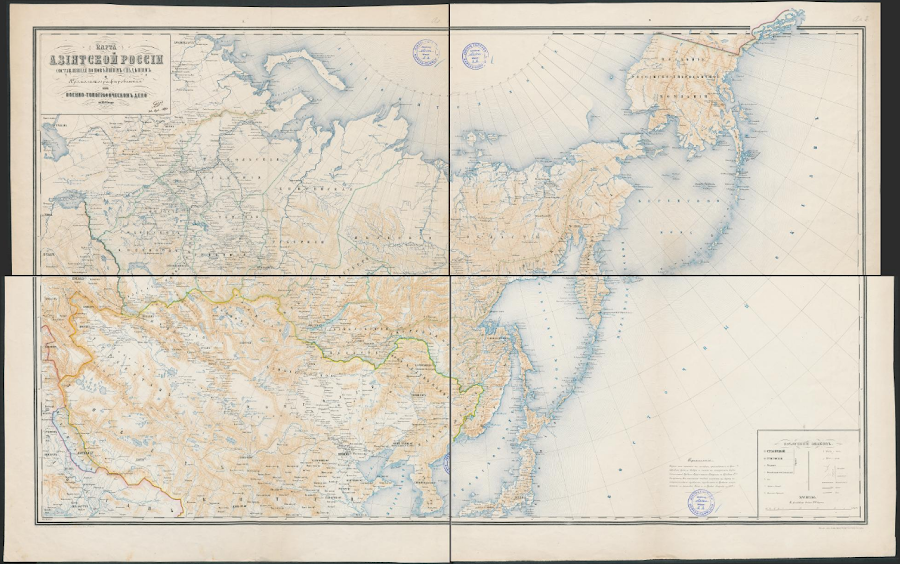
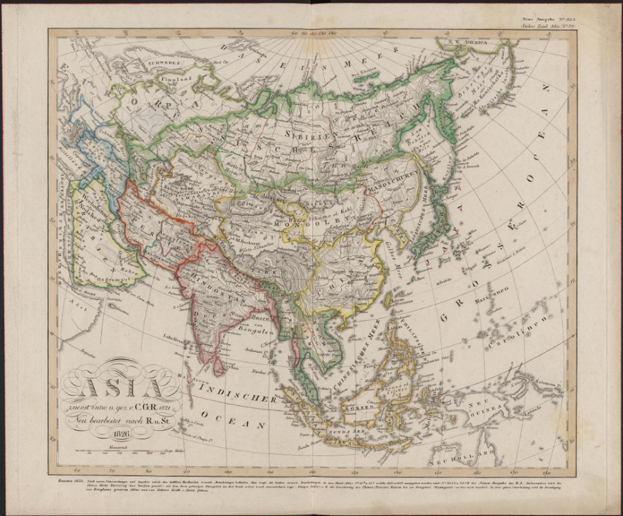
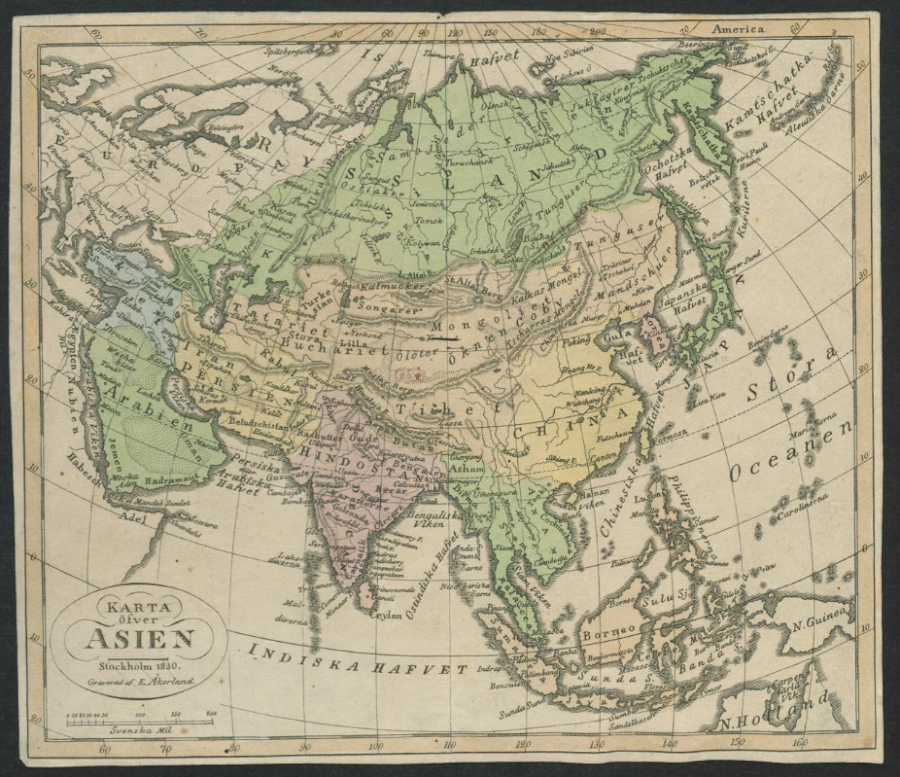
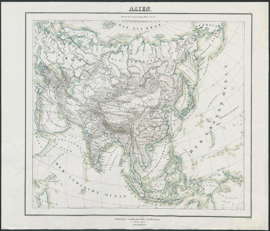
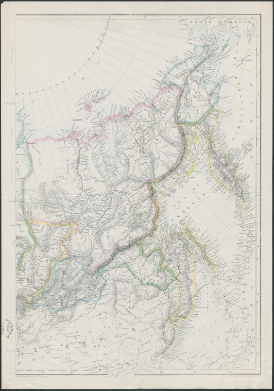
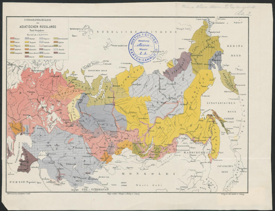
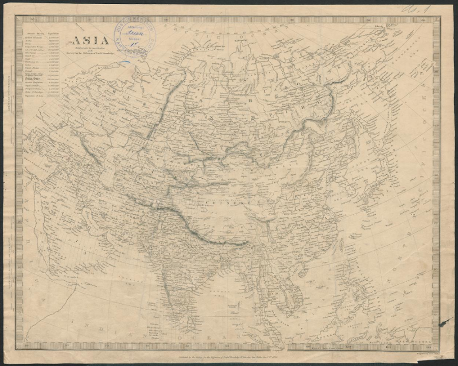
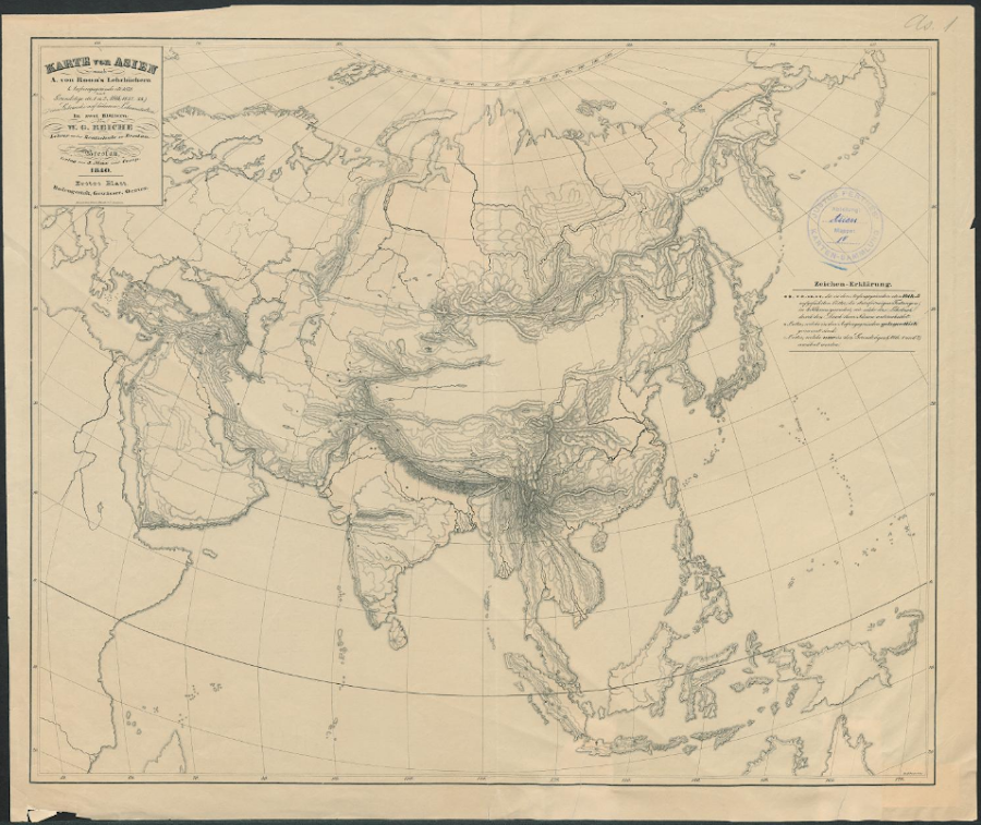
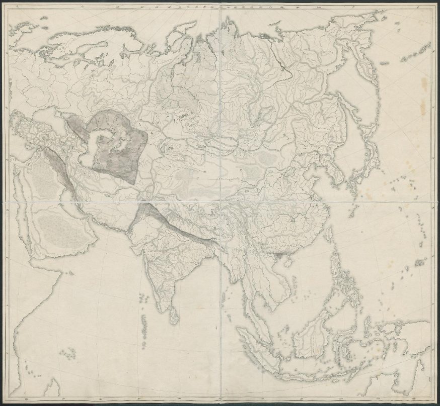
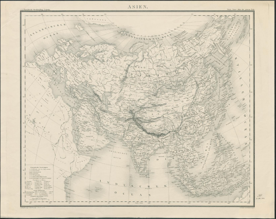
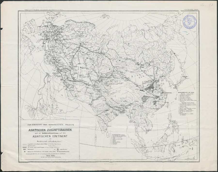
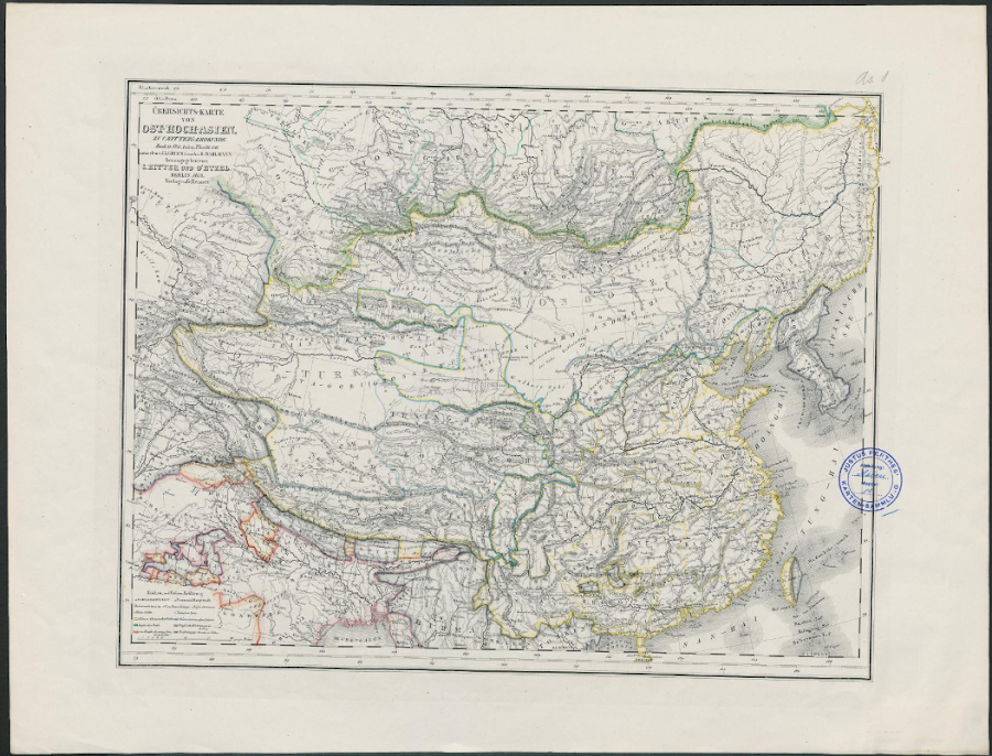
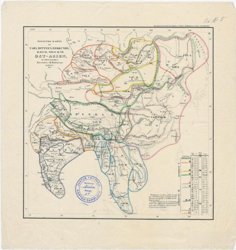
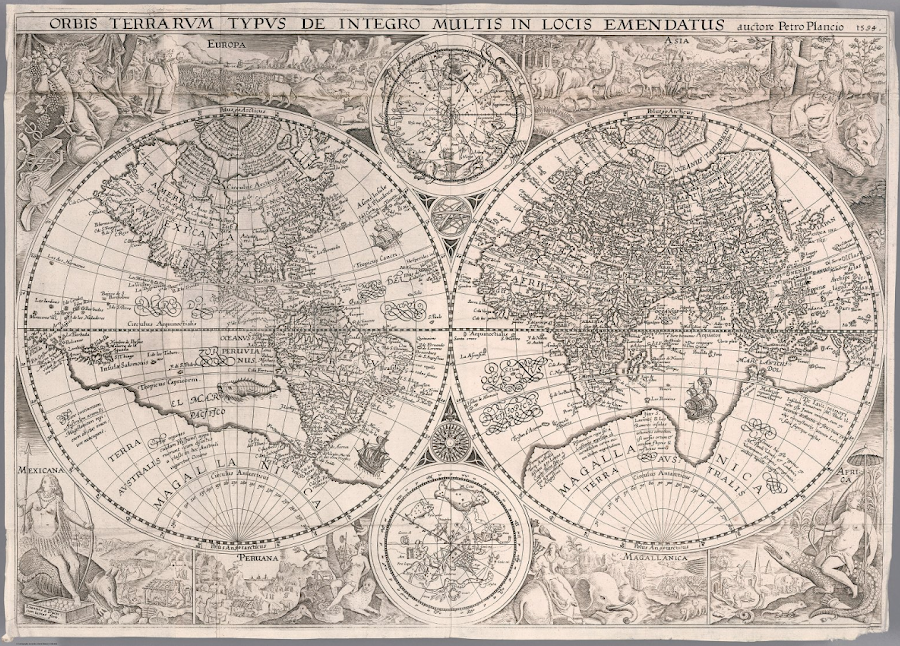
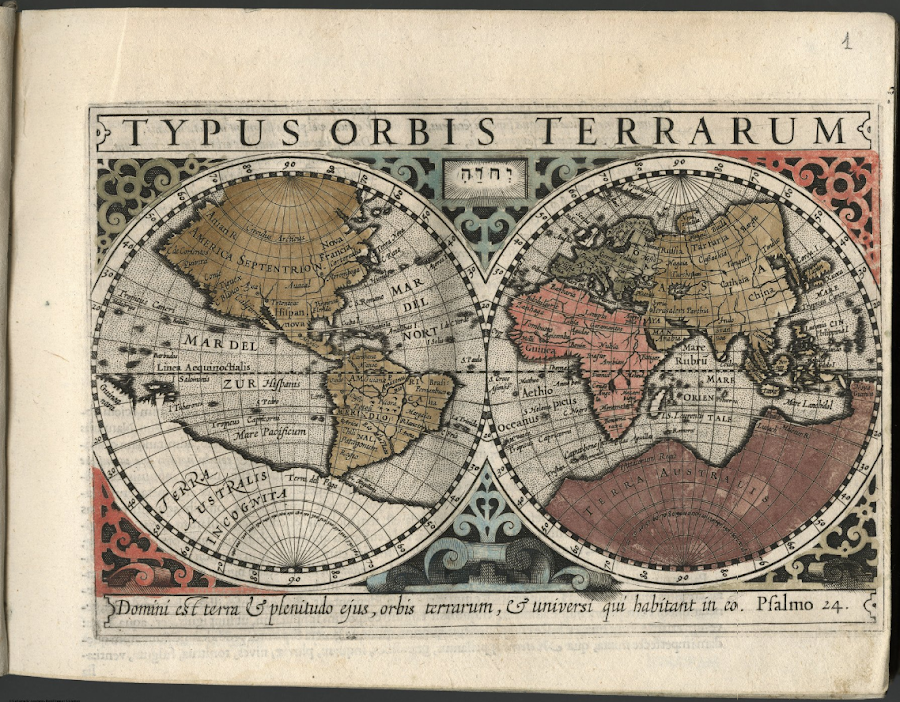
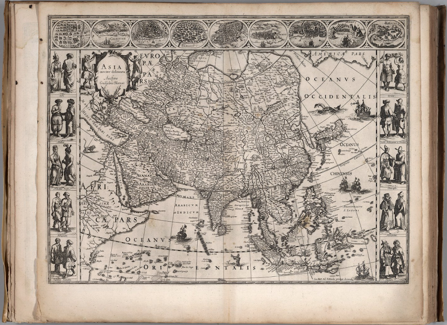
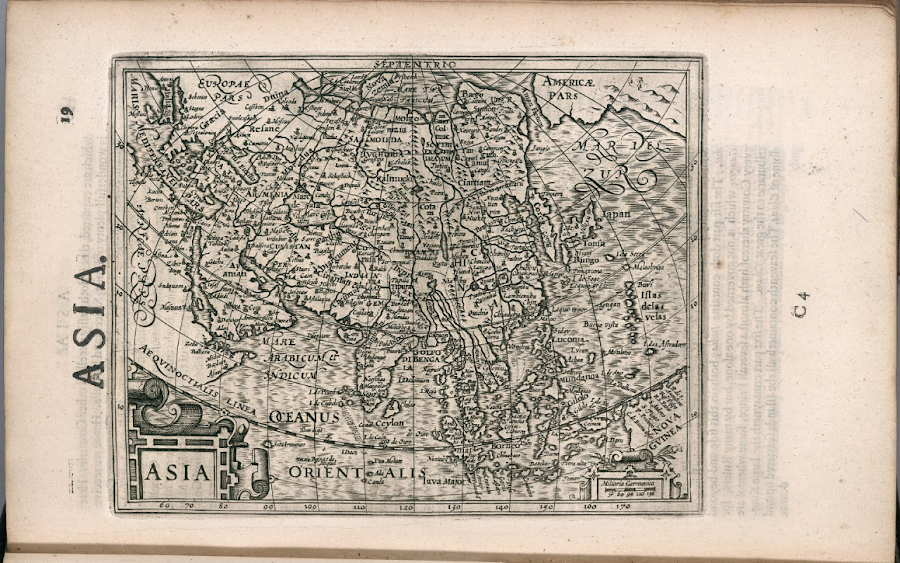
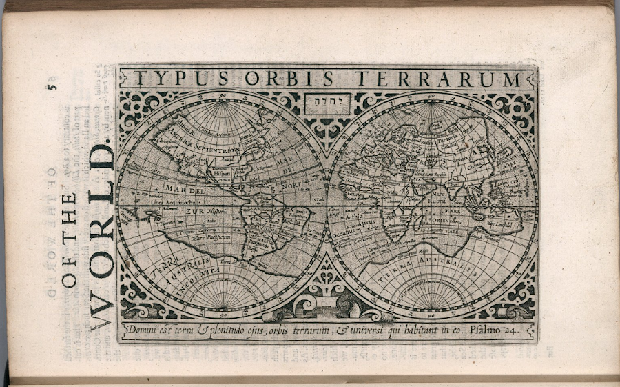
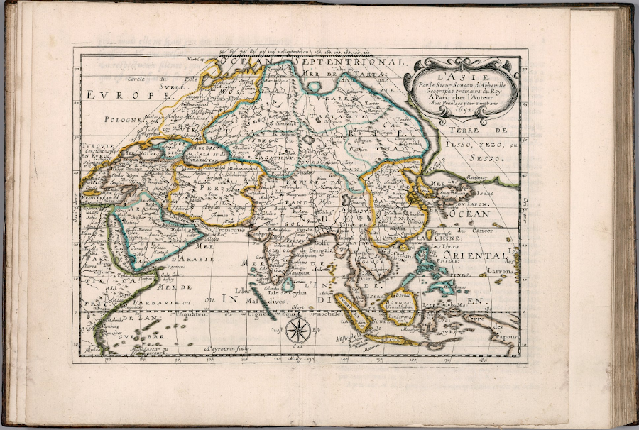
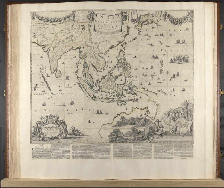
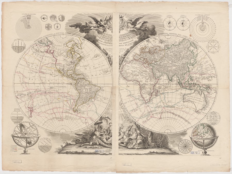
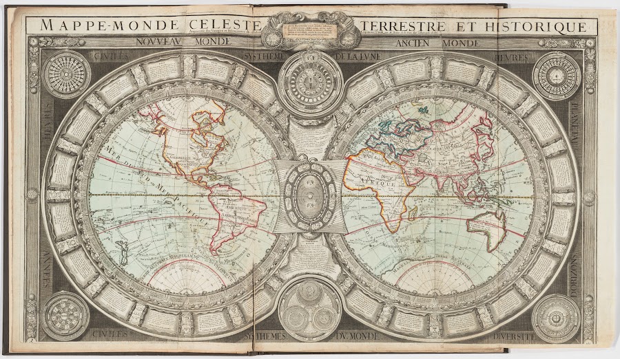
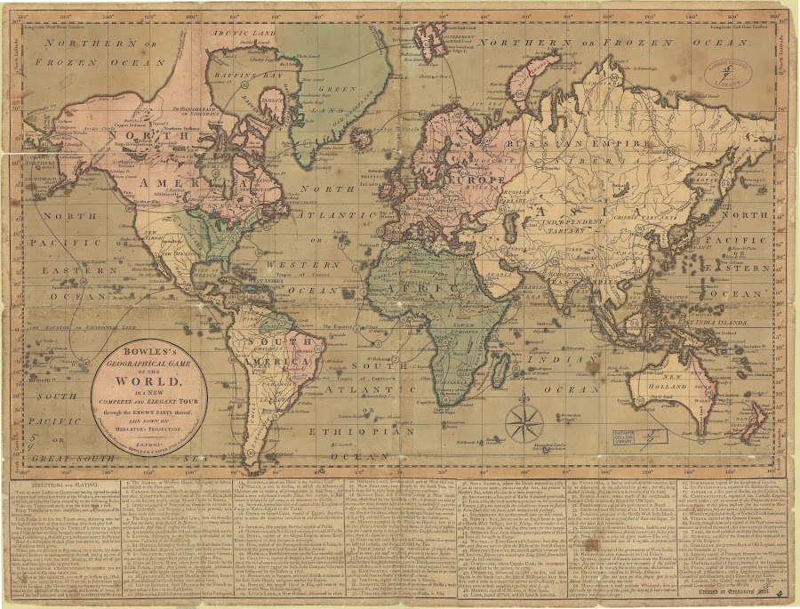
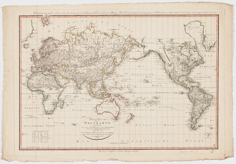
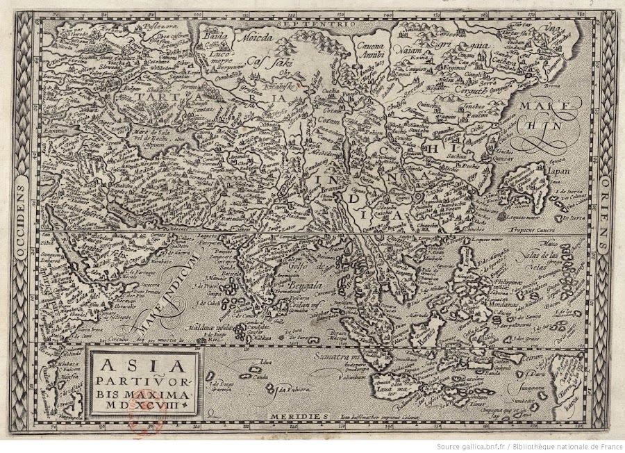
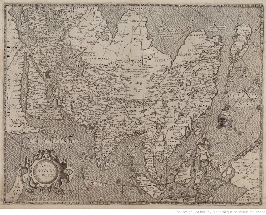
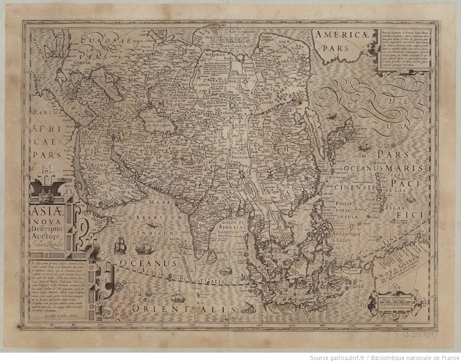
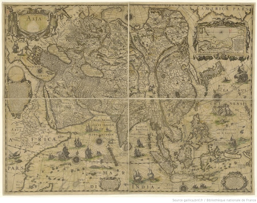
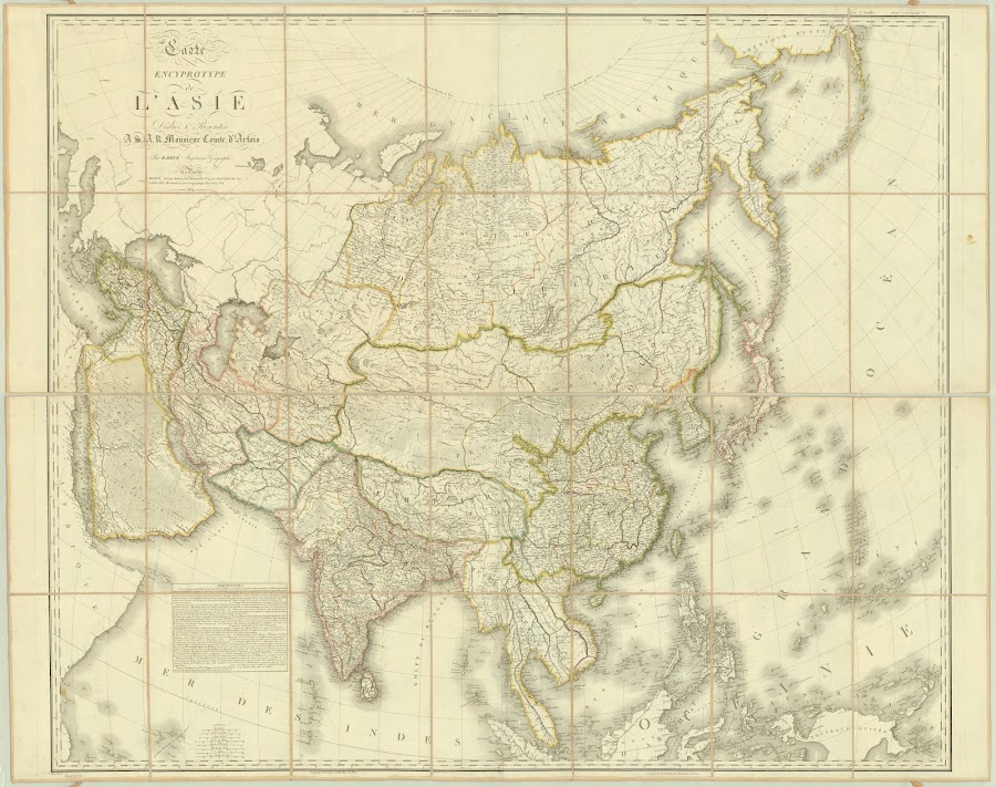
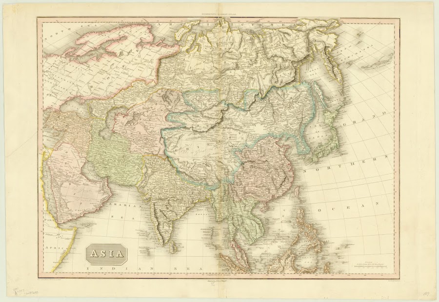
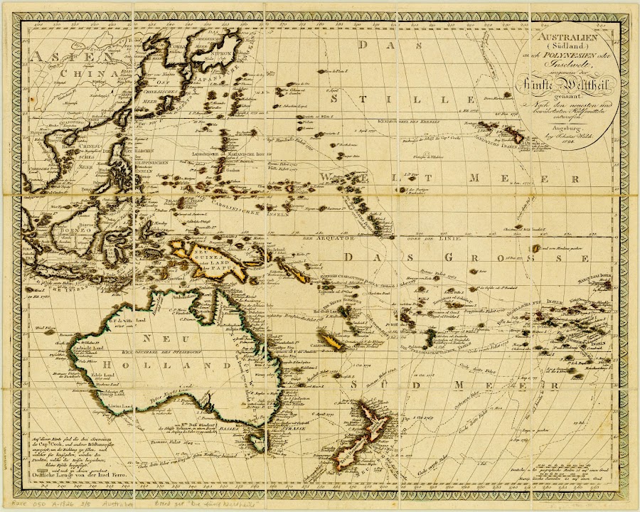
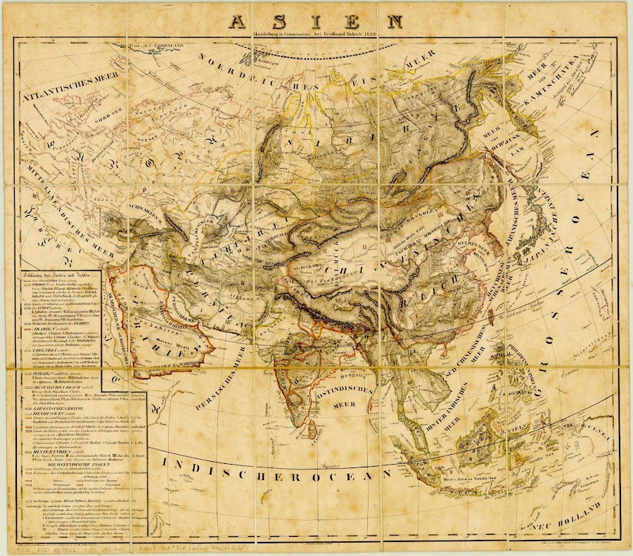
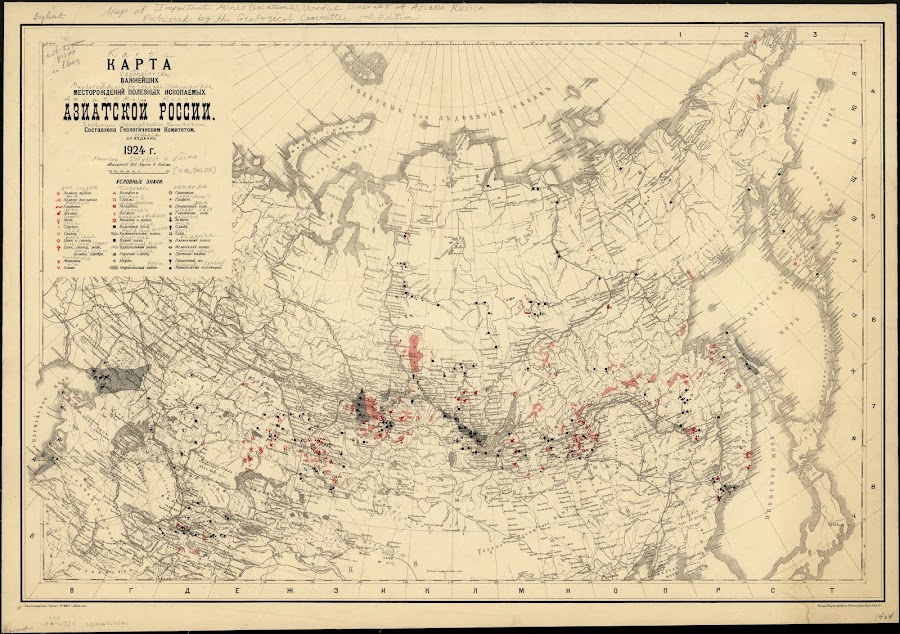
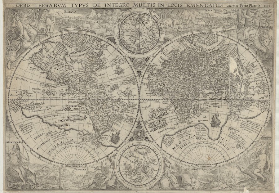
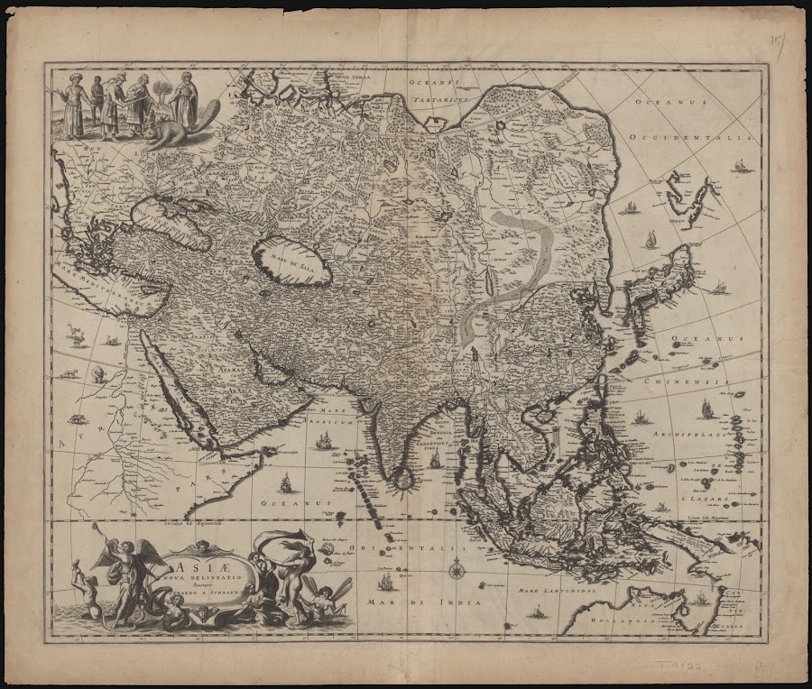
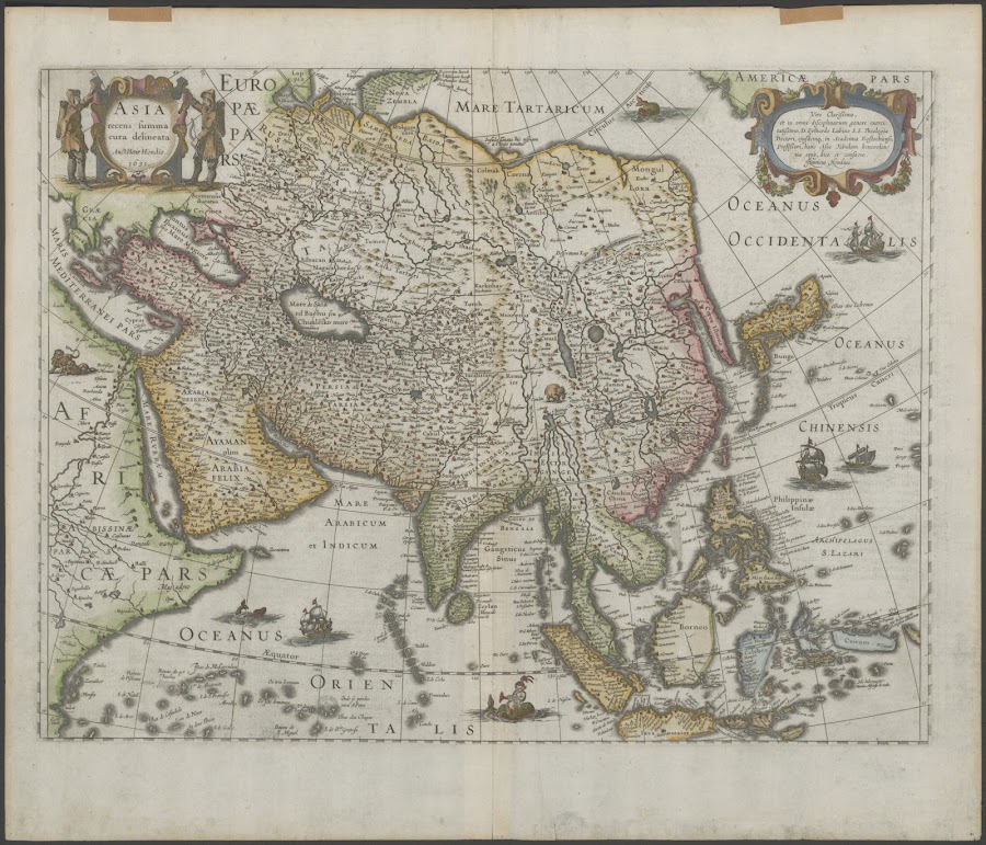
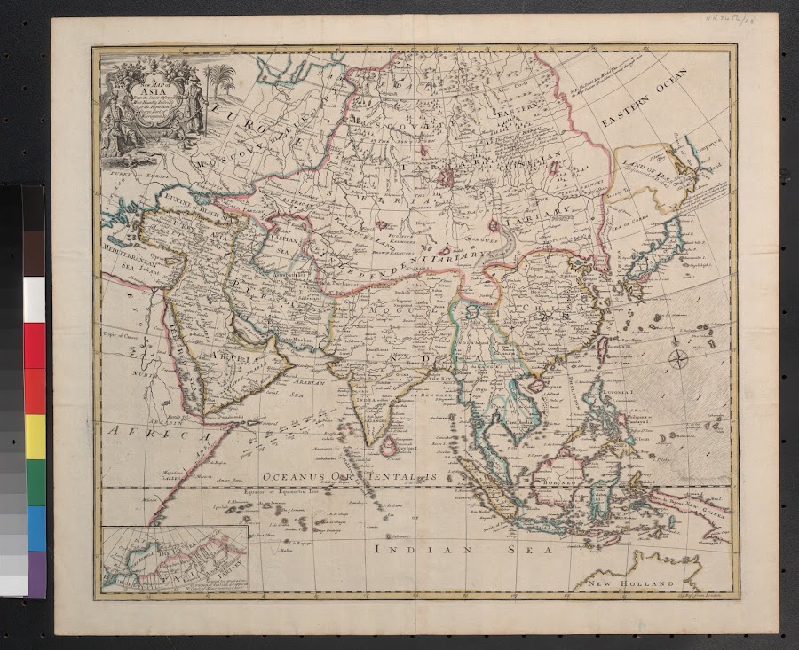
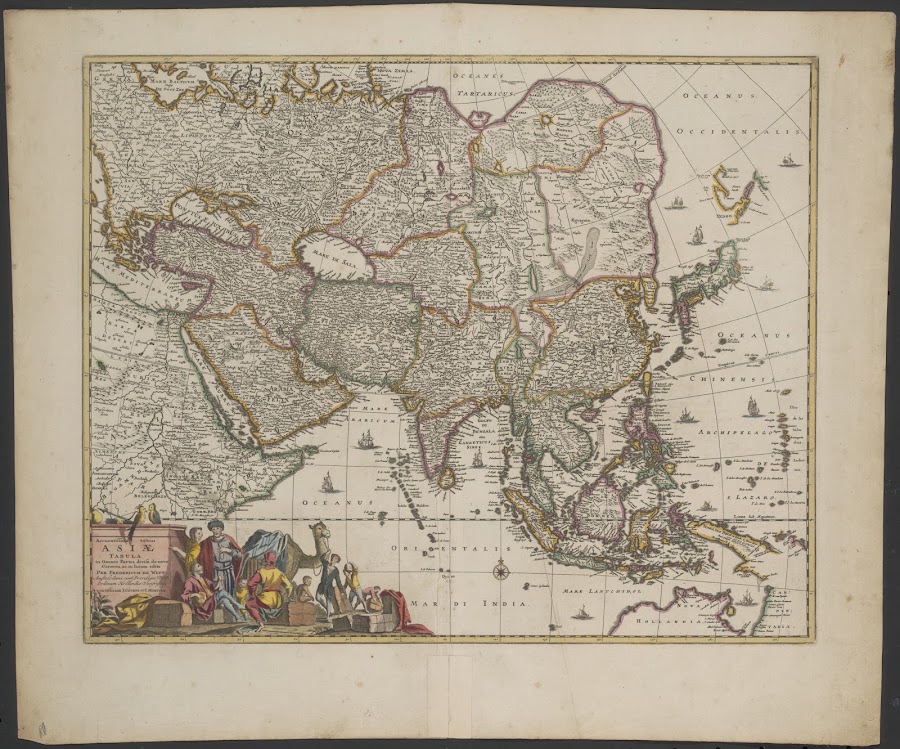
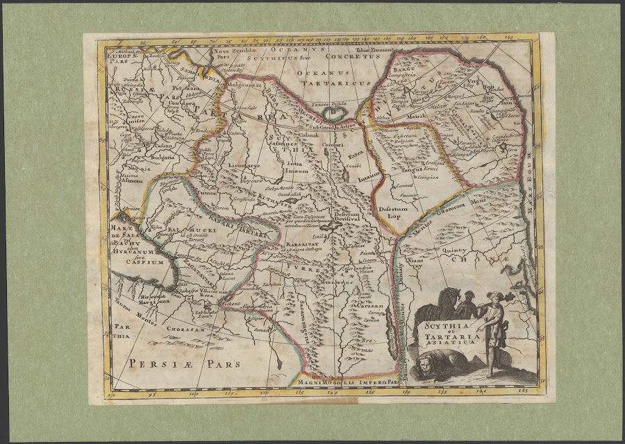
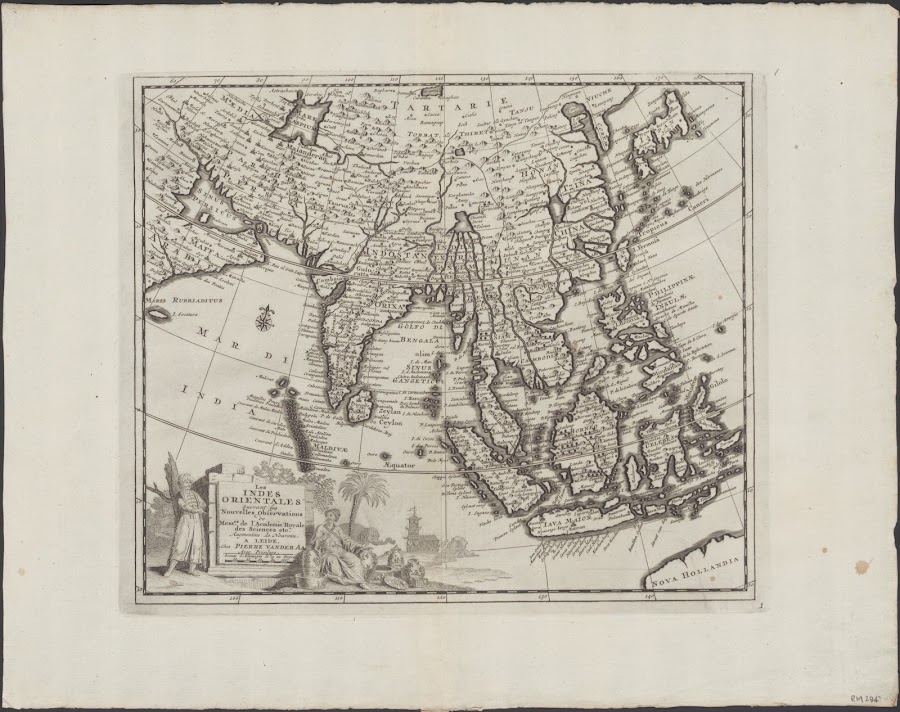
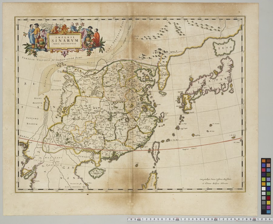
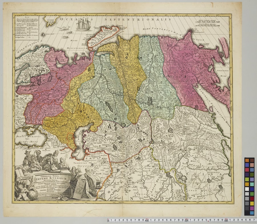
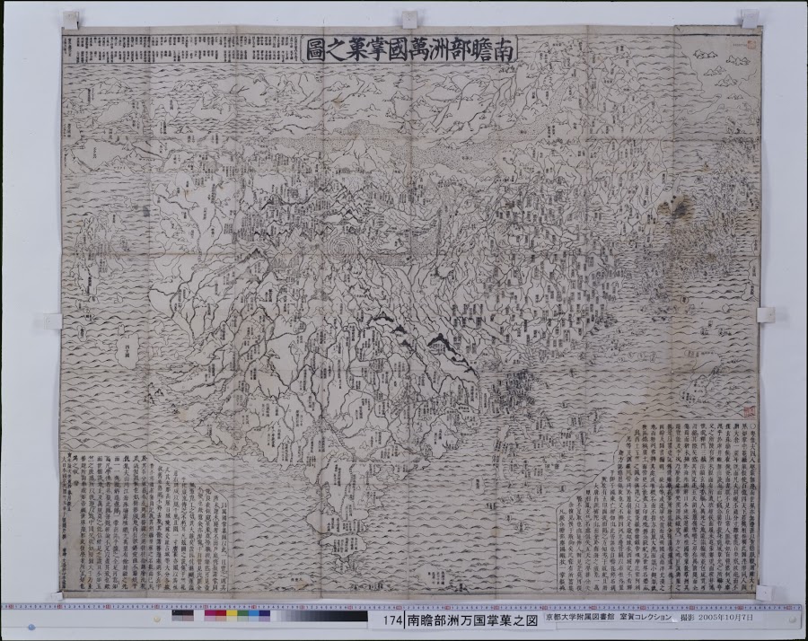
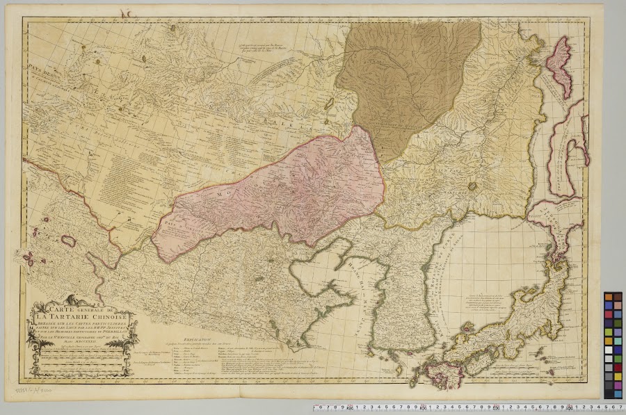
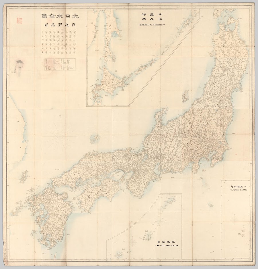
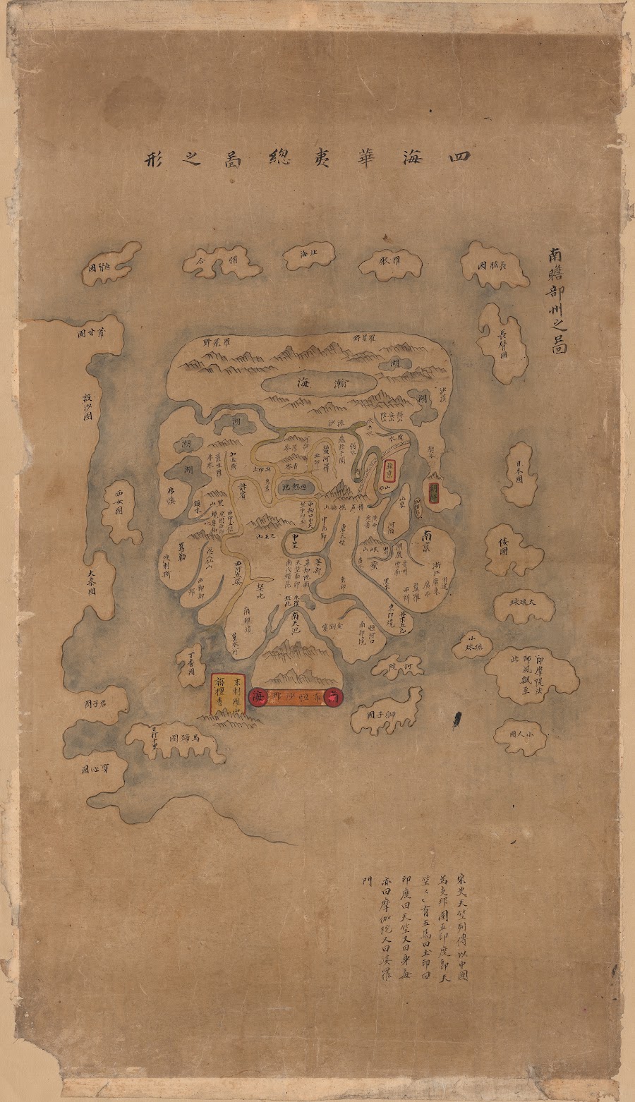
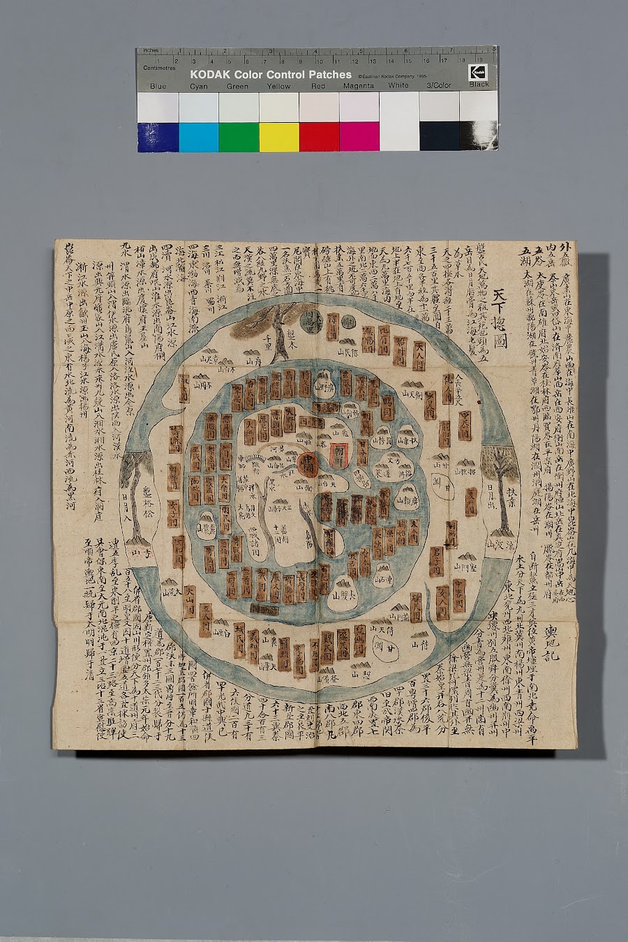
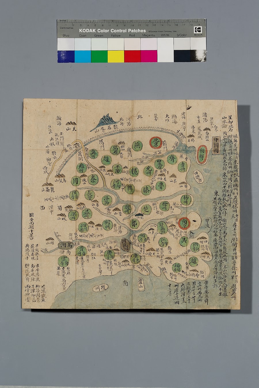
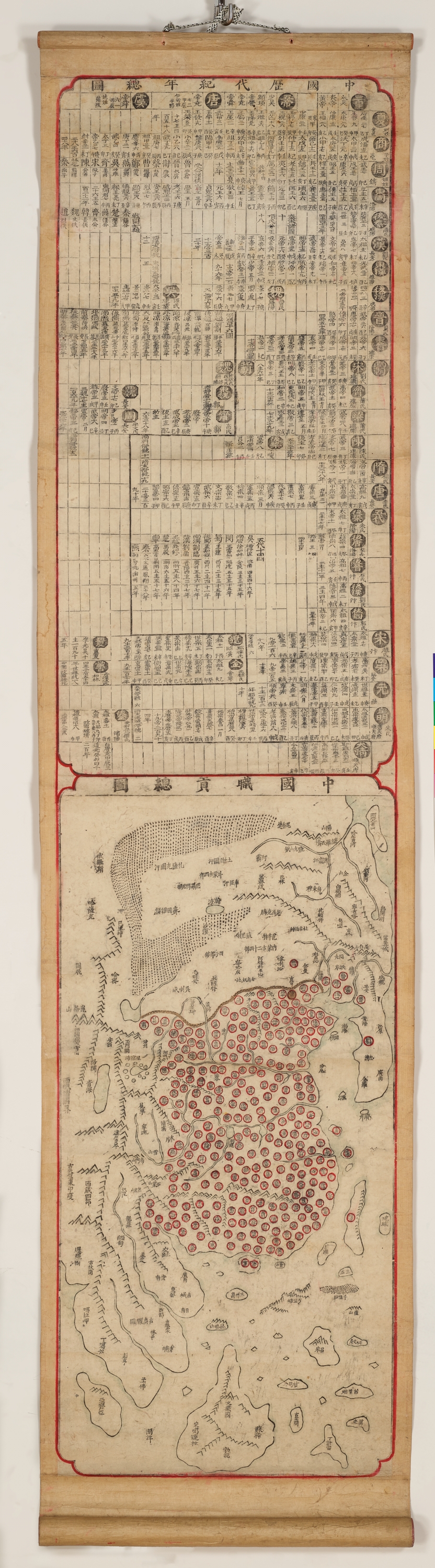
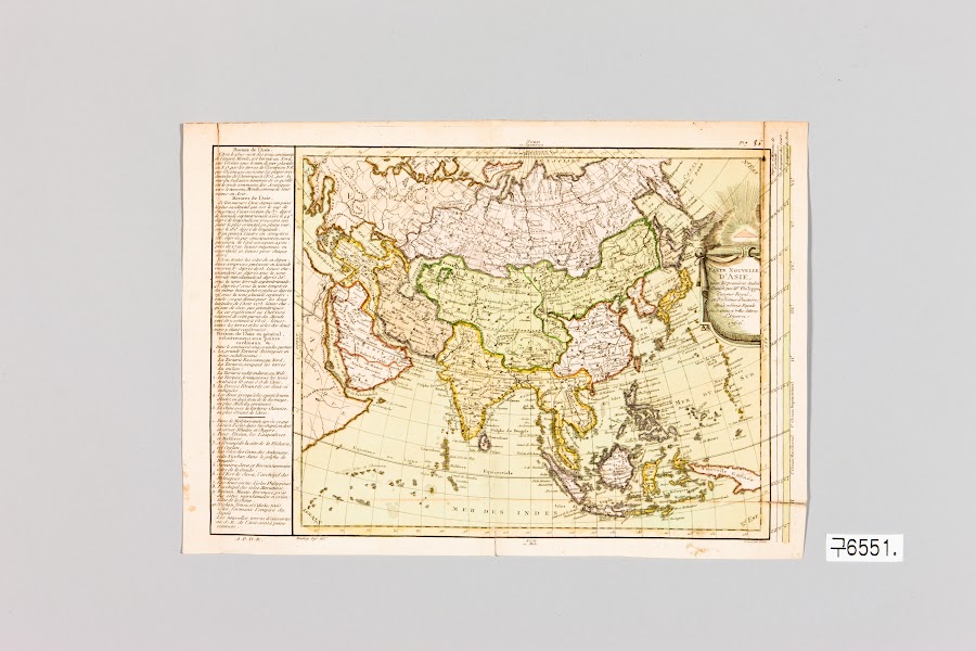
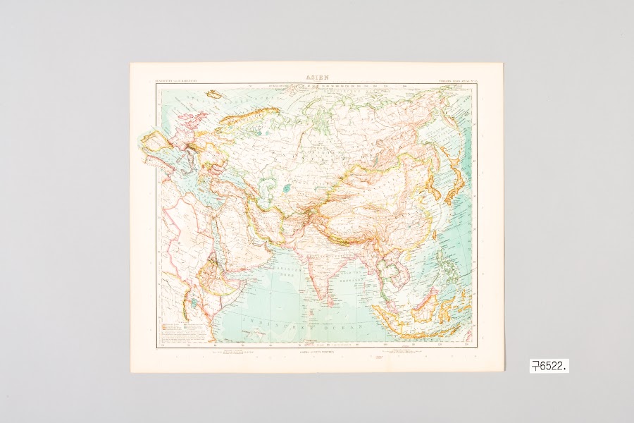
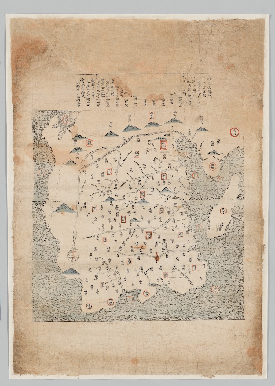
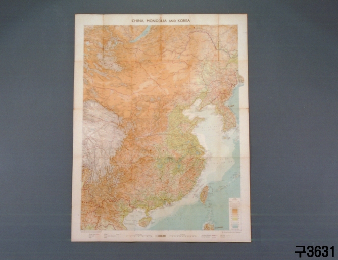
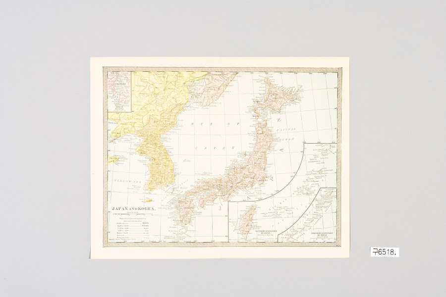
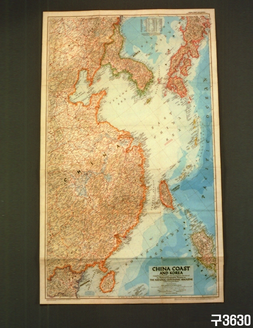
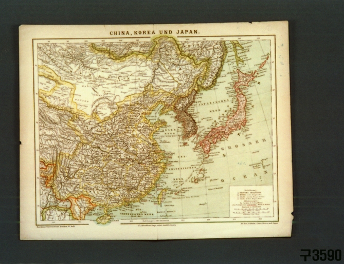
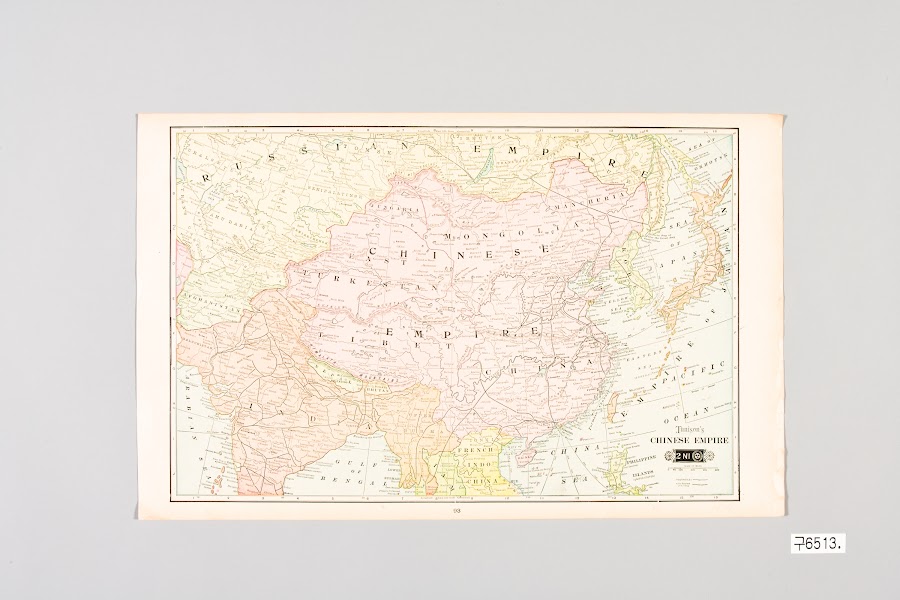
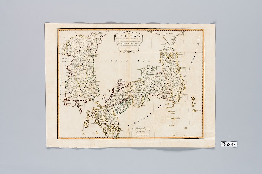
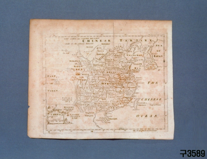
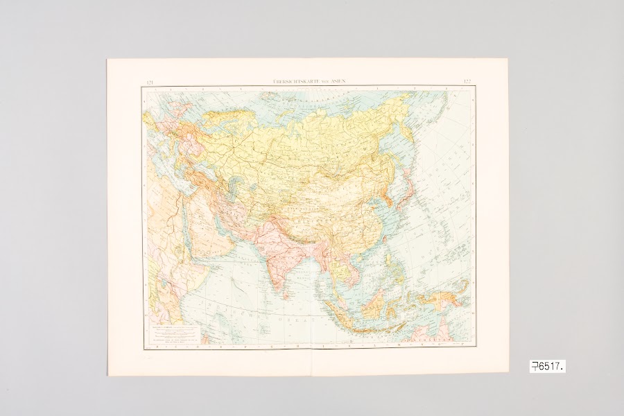
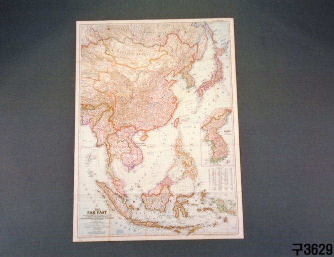
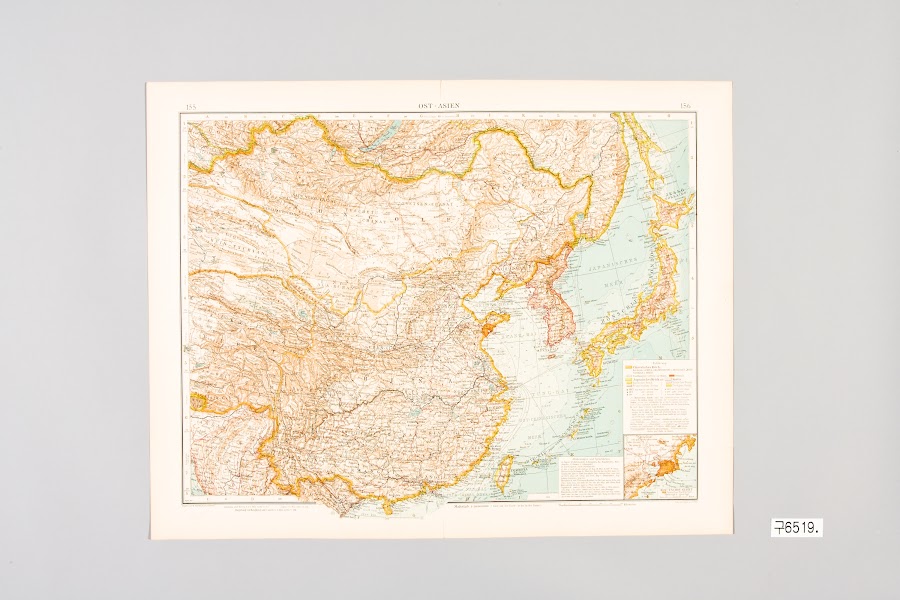
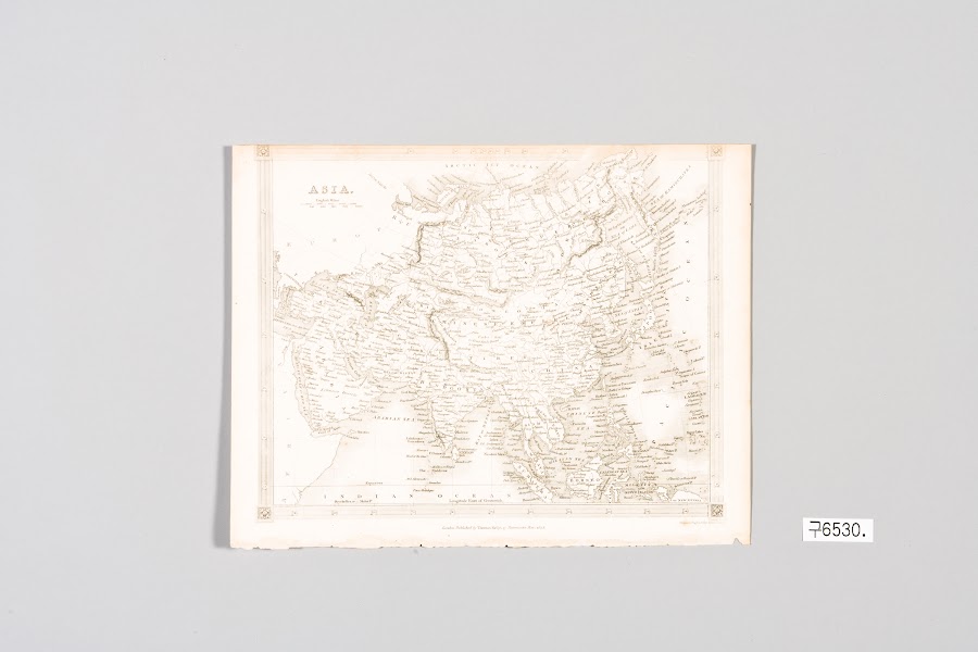
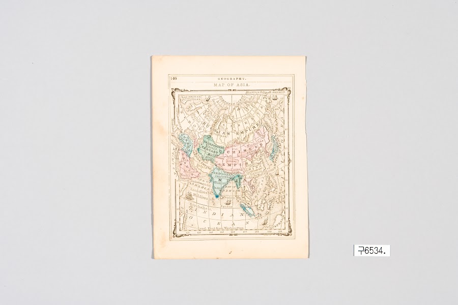
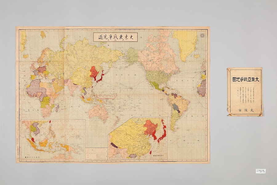
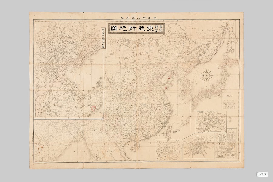
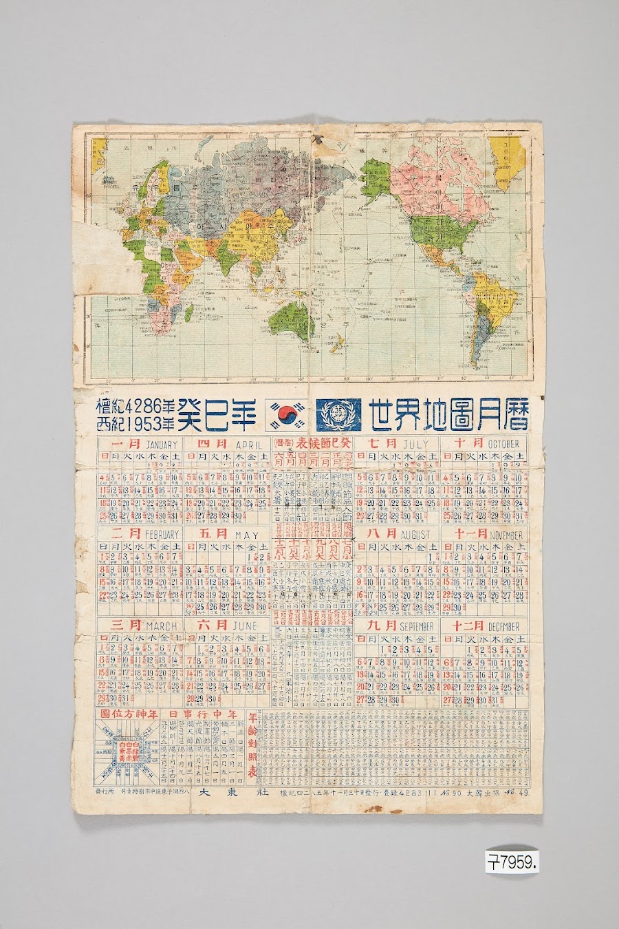
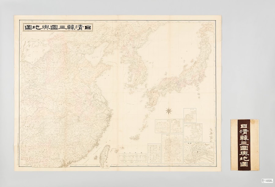
Historical maps are not merely records of past geography; they are important historical and geographical sources that capture the spatial perceptions, regional knowledge, and relationships between states and regions of the era in which they were made. Historical maps of Asia in particular show differing place names, boundaries, and geographical information depending on the period and the mapmaker, allowing us to examine how people have understood Asia and perceived its extent.
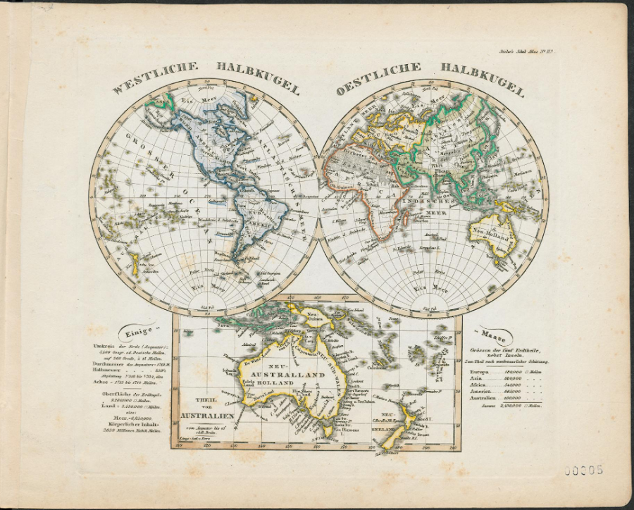
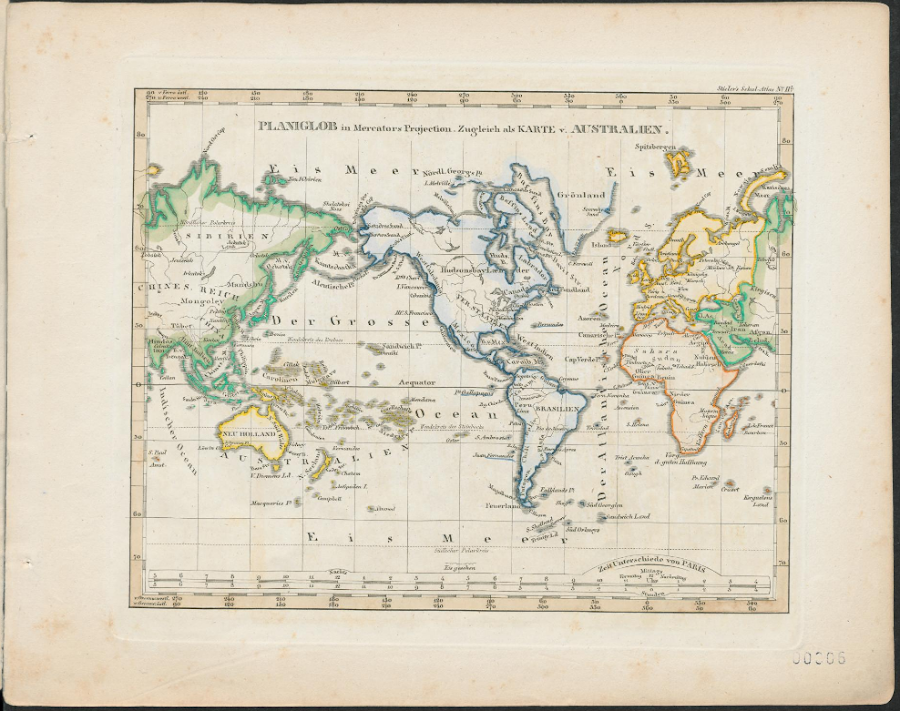
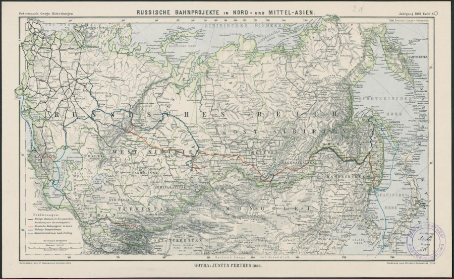
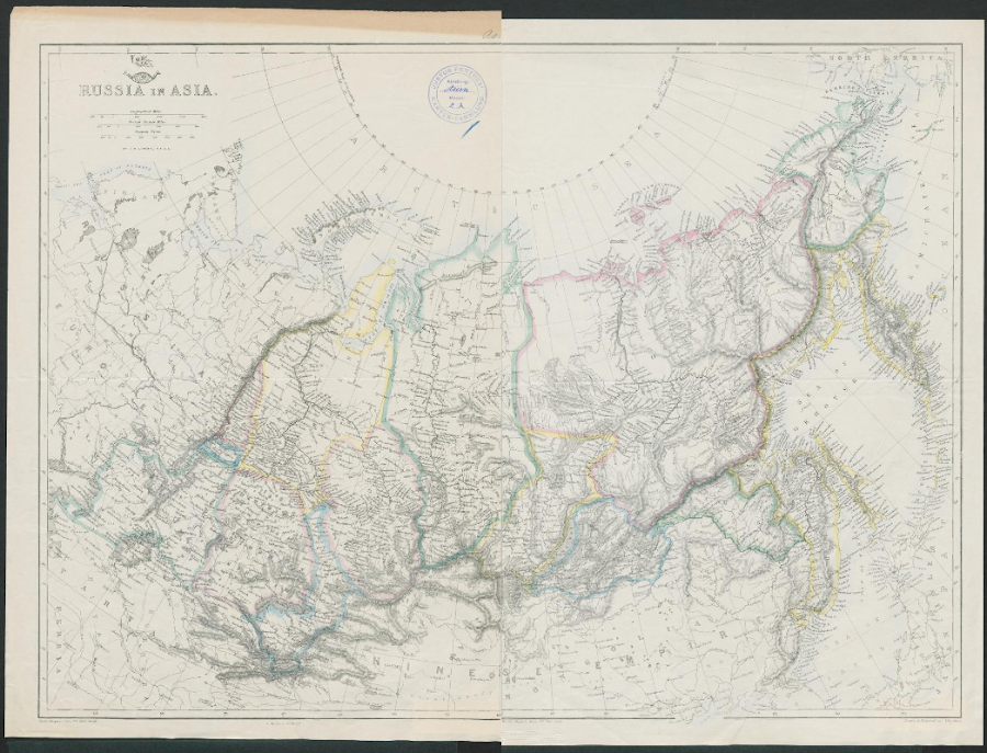
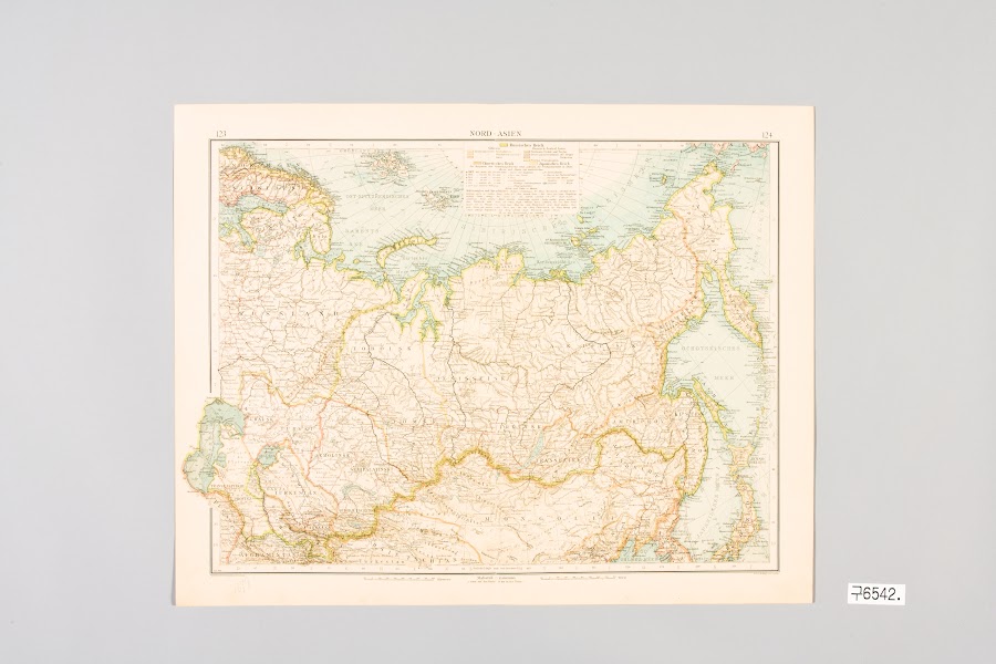
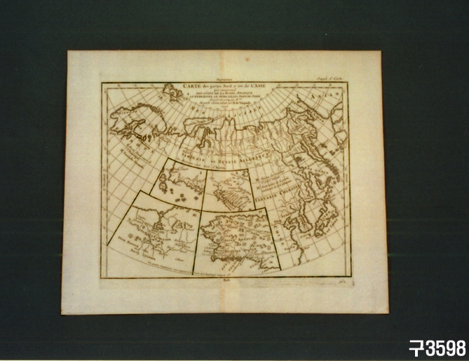
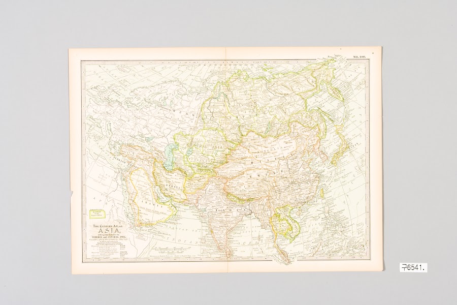
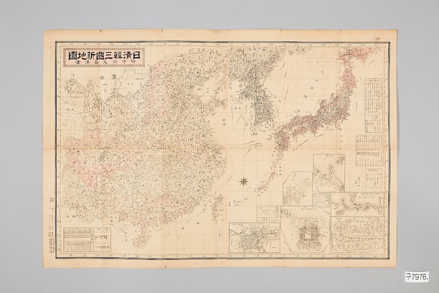
To explore “the territory and spatial perception of Asia” through historical maps, the HK+ Mega-Asia Research Project at the Seoul National University Asia Center surveyed and collected Asia-related historical maps held by major institutions in Korea and abroad. Approximately 2,400 Asia-centered historical maps that include the territory of Korea were surveyed and collected from 17 major institutions, including the David Rumsey and Barry Lawrence Ruderman collections at Stanford University Libraries, Harvard University Library, the U.S. Library of Congress, the Bibliothèque nationale de France, the National Library of Australia, the C. V. Starr East Asian Library at UC Berkeley, Brown University, Kyoto University, Osaka University, and the Digital Historical Library Erfurt/Gotha in Germany.
The collected maps were organized into metadata covering not only basic information such as date of production, mapmaker, place of production, holding institution, and map title, but also the place names and territories shown on the maps, their modes of representation, and their spatial perceptions. This provides foundational data for comparing how maps produced in different periods and regions represented and perceived Asia.
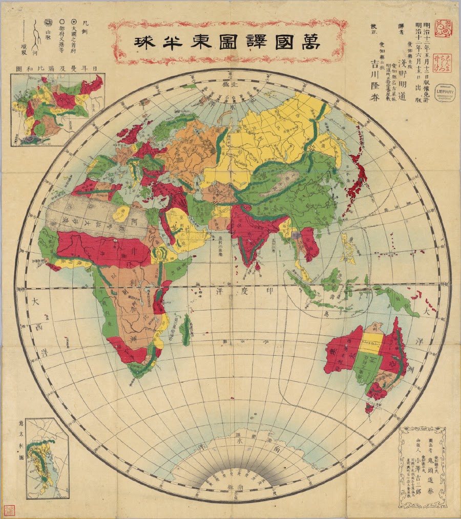
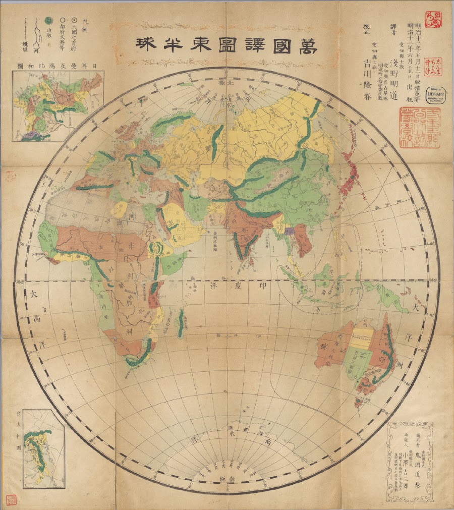
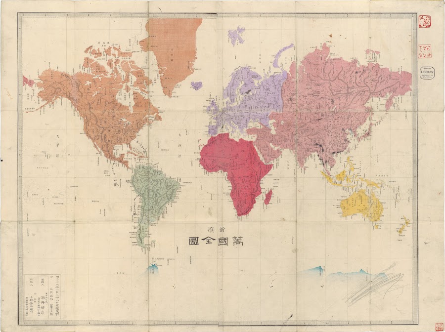
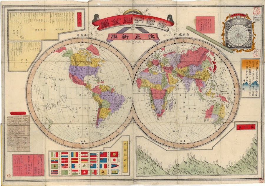
The “Mega-Asia Information Sharing Platform – Historical Map Storytelling” introduces the historical maps collected and organized in this way by holding institutions. It is designed so that, while browsing the major historical maps held by each institution, visitors can read together the image of Asia as represented on the maps, the geographical knowledge of its regions, and the changes in spatial perception over time.
Through this, Asia-related historical maps and their information, scattered across many institutions in Korea and abroad, can be viewed in one place, and not only researchers but also general users interested in historical maps and Asia can easily access and make use of the material.
Data survey, collection, metadata construction and organization:
Seonyoung Park (Senior Researcher, Seoul National University Asia Center)
Metadata organization assistance:
Seong Jin Park (Department of Korean History, Seoul National University), Yubin Oh (Department of Korean History, Seoul National University)




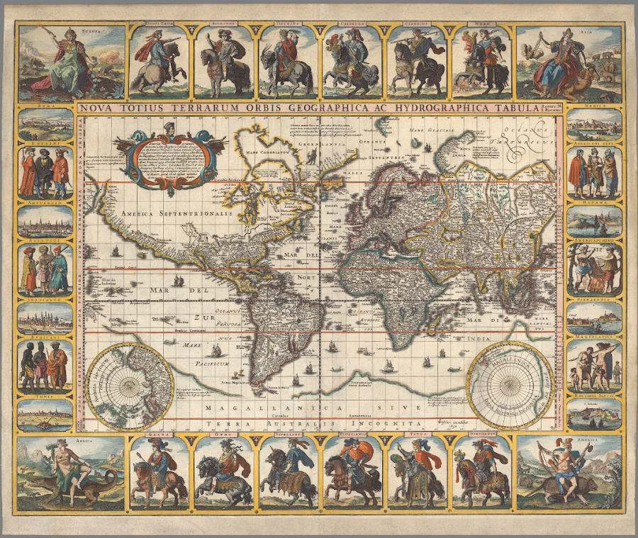
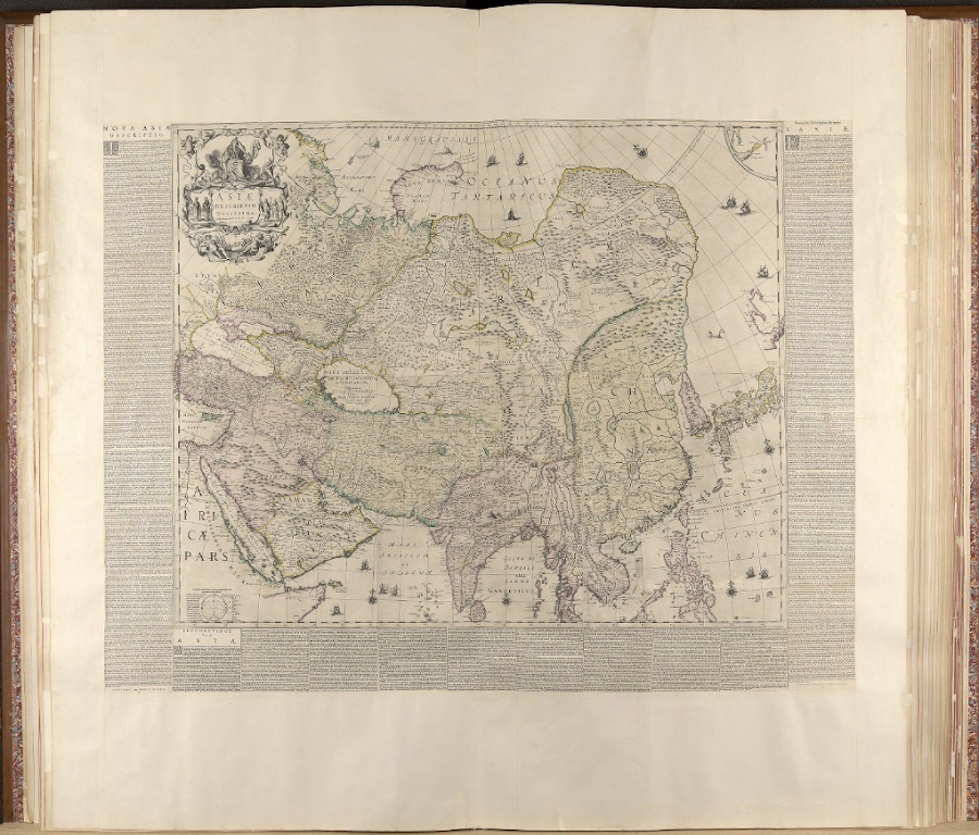

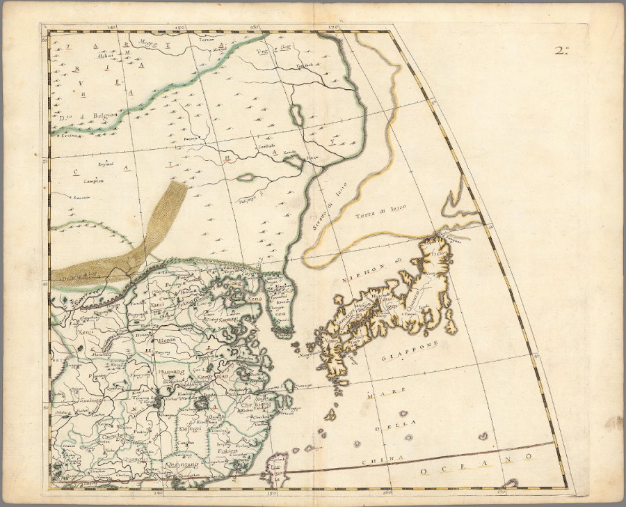
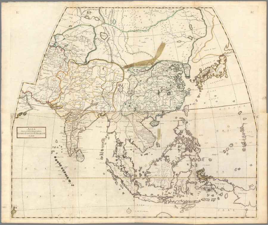

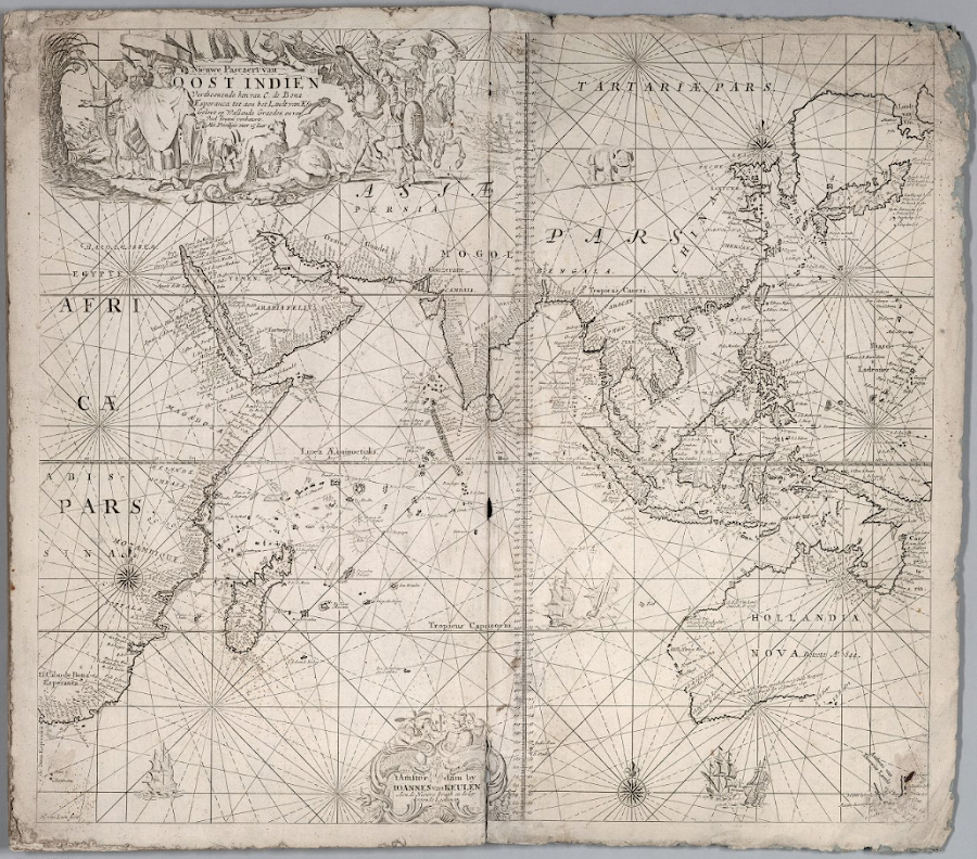
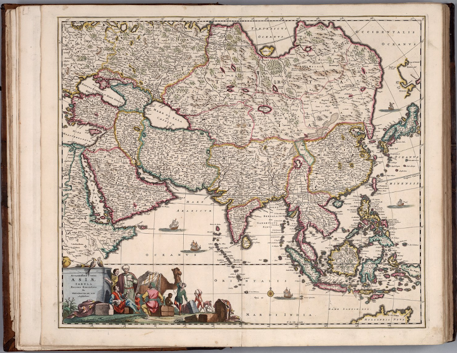
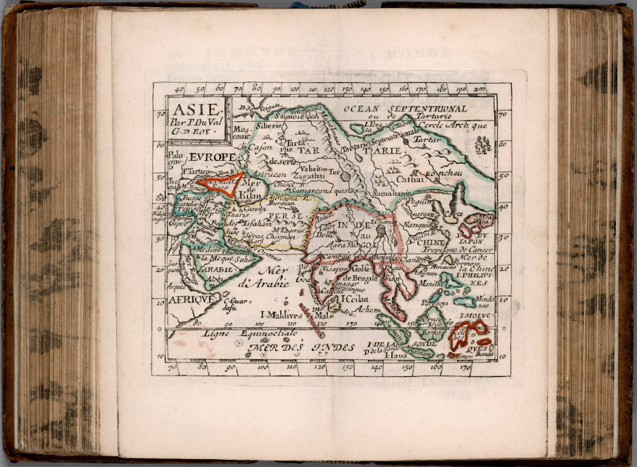
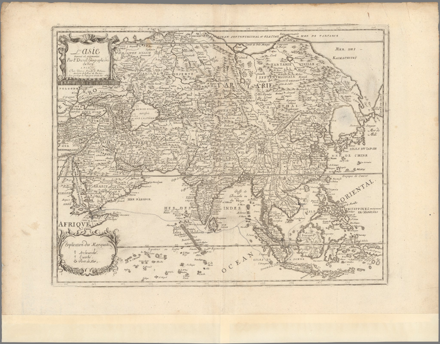
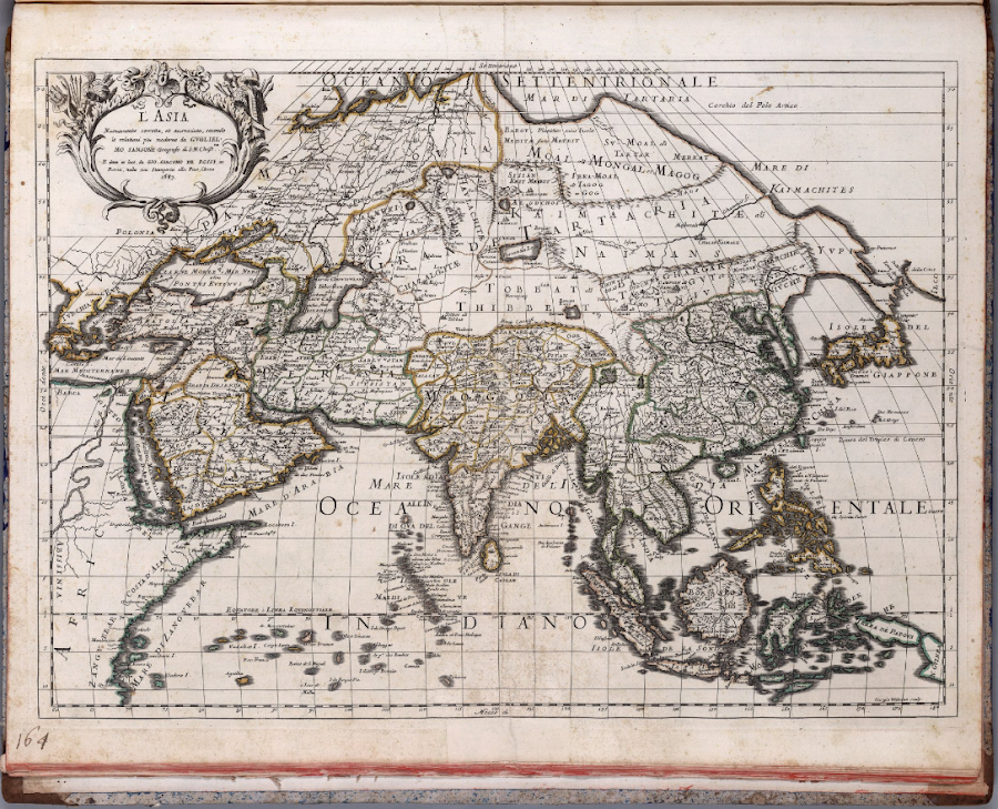
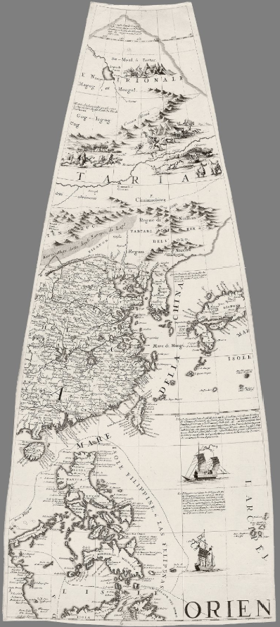
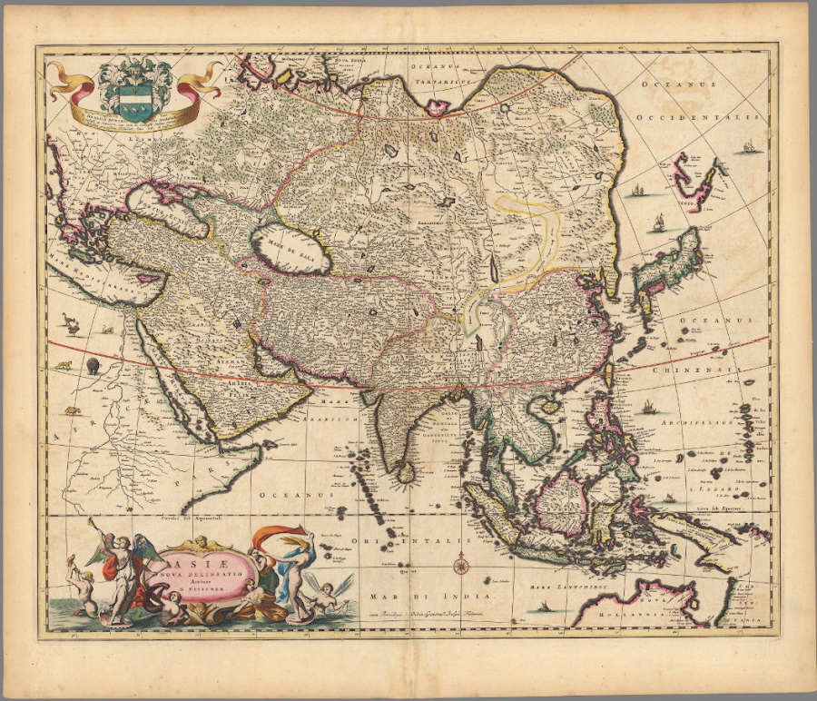


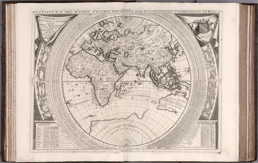

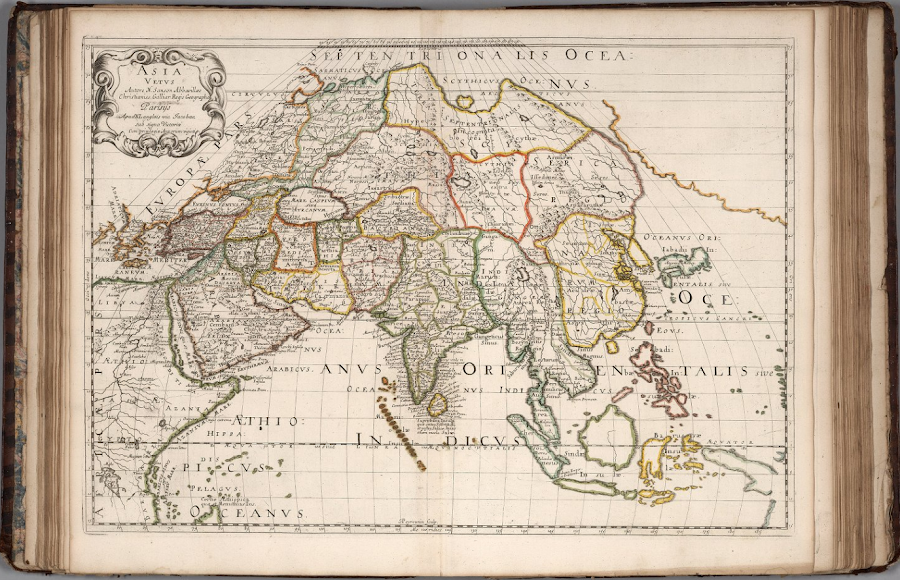
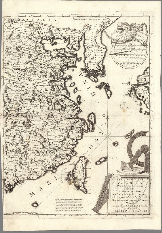
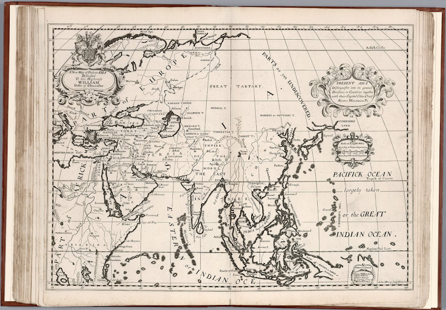
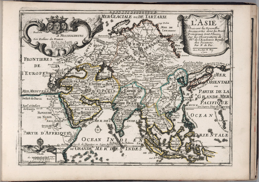

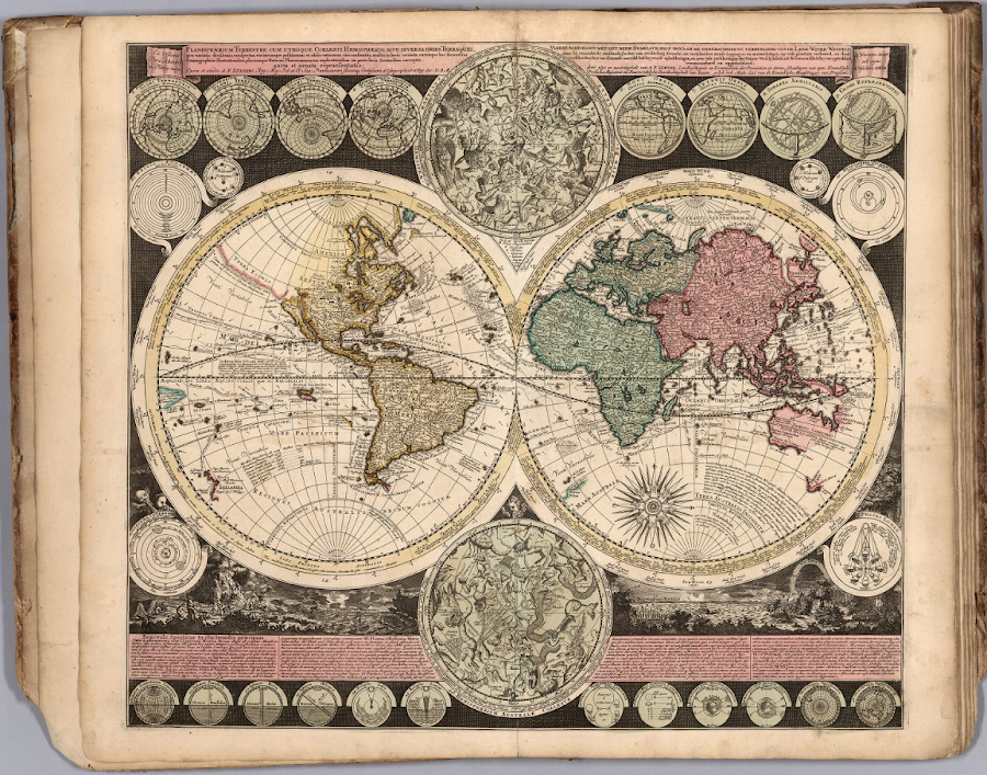
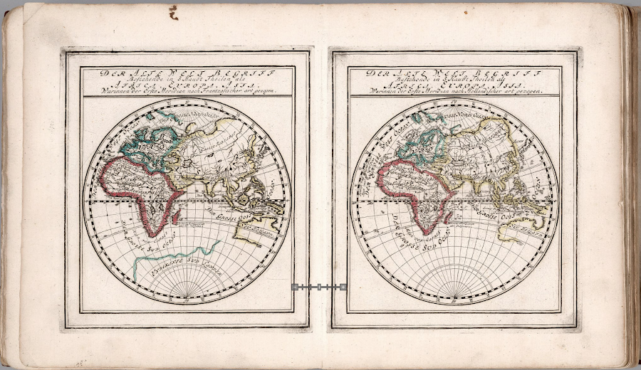


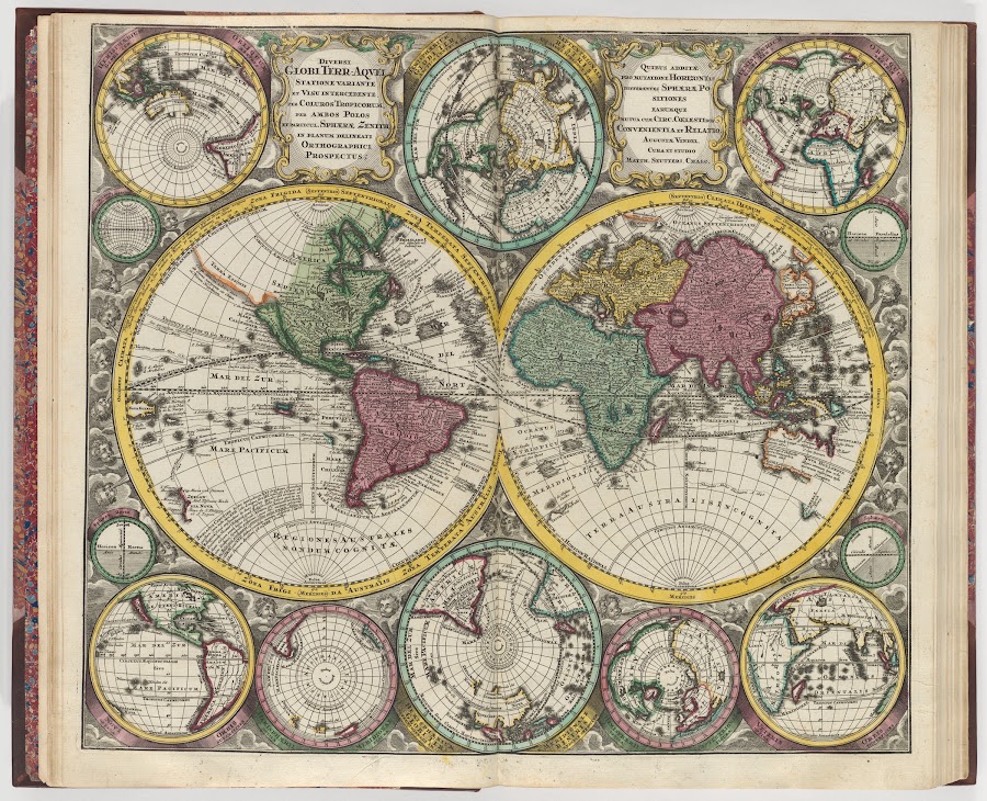
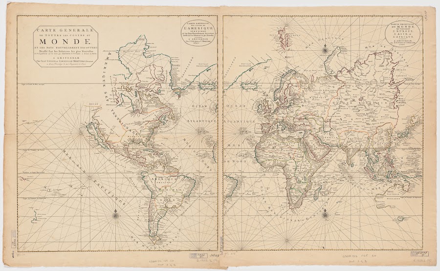
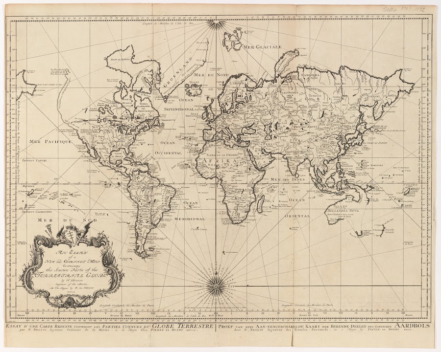


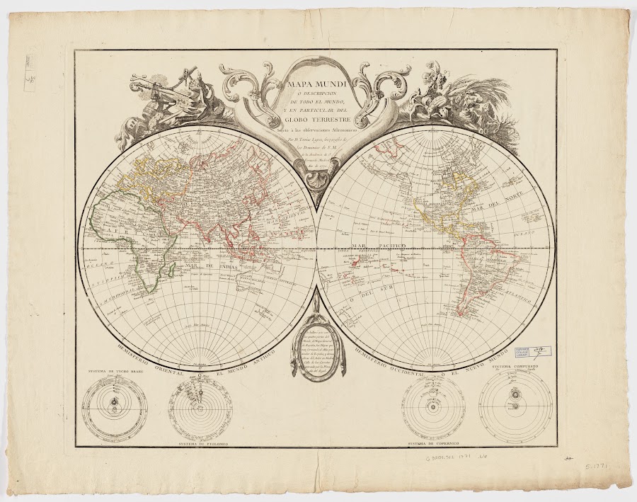
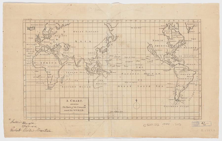
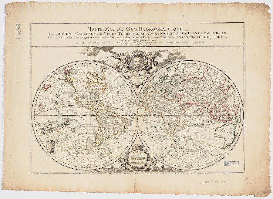

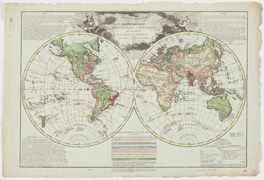
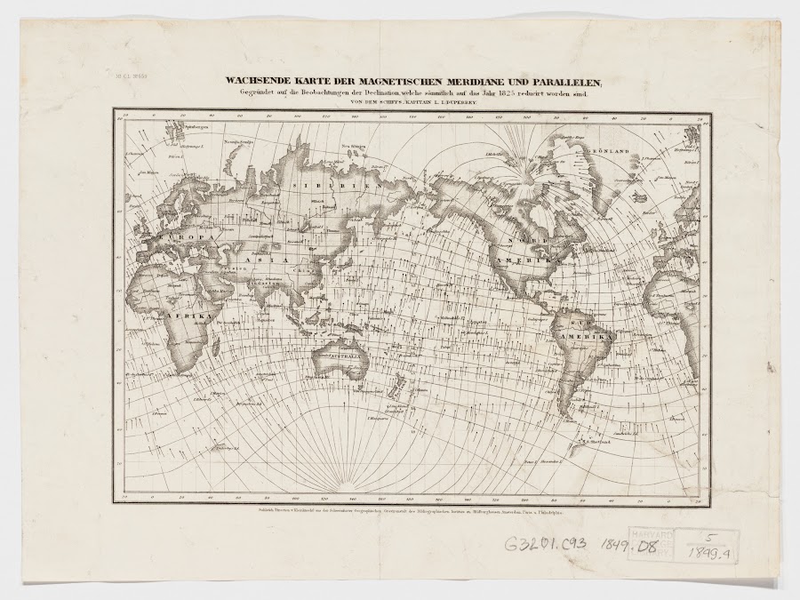
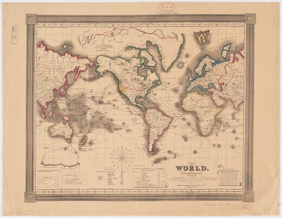
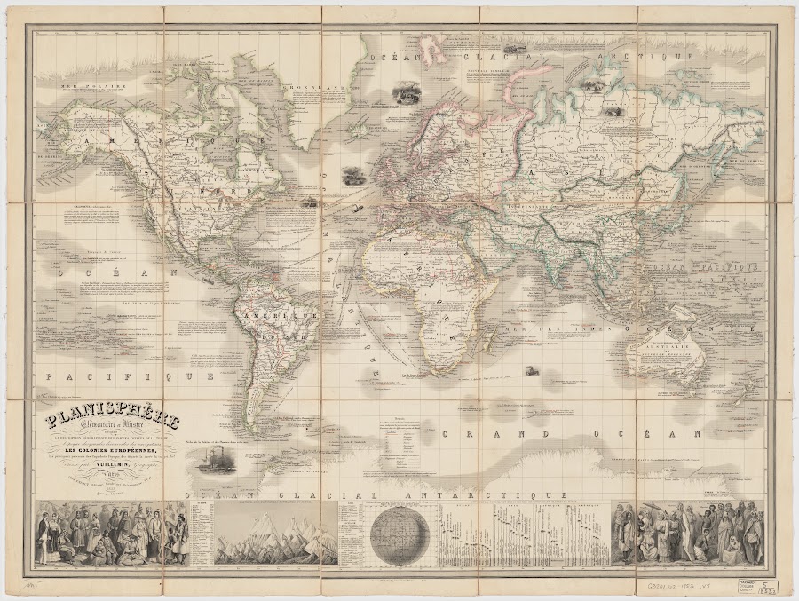
![1885_Viaggio della R[a] Corvetta 'Vettor Pisani'](https://lh3.googleusercontent.com/d/1VsPnTuQqzHwM5j47x9ZTHLUoTUiCUn9K=w900)



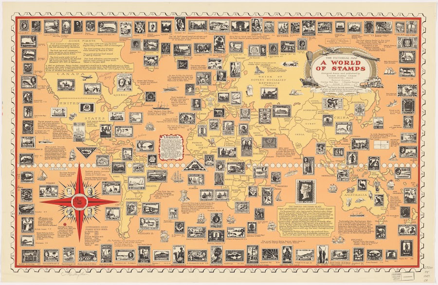
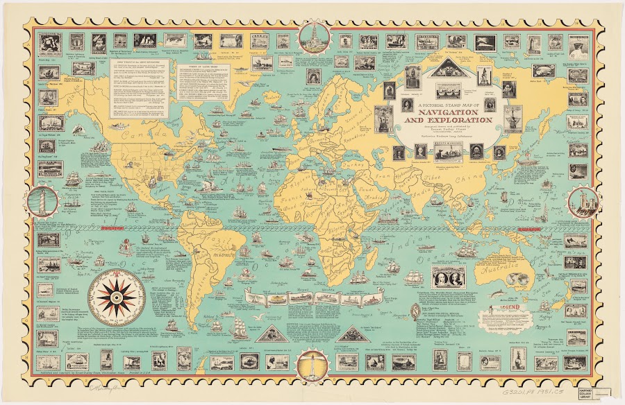
![[1955?]_Peace map of the world united](https://lh3.googleusercontent.com/d/1WXjLkU5qJH88RSd2OYBpFtZG-rIAiQRq=w900)
![[1713]_Planisphere terrestre suivant les nouvelles observations des astronomes](https://lh3.googleusercontent.com/d/1AZMKn6wWLBqelFAGoh-I_XQyCwIY_MoC=w900)
![[1849]_Darstellung der isodynamischen Linien_Duperrey](https://lh3.googleusercontent.com/d/19gKAGE-lYttH4b2I2M0TDoe4mn9LNZry=w900)
![[1851?]_Geographical view of the Great Exhibition of 1851](https://lh3.googleusercontent.com/d/1xcj3V_tQxrgerJNQJ-567AzEwp9CrUtV=w900)
![[1872]_A chart of the globe prepared to illustrate some of the general](https://lh3.googleusercontent.com/d/1NB6DS0aDlQKguPKUePOPZrS8fhEuLLgy=w900)
![[1942?]_The story map of flying](https://lh3.googleusercontent.com/d/1sIMD3NSA7TDKofGDrCXLDQAdP2Y-ev4k=w900)
![[1942?]_Total war battle map](https://lh3.googleusercontent.com/d/1U-IkaAz-3GbB_IAlCAK39pJa10CC_wy0=w900)
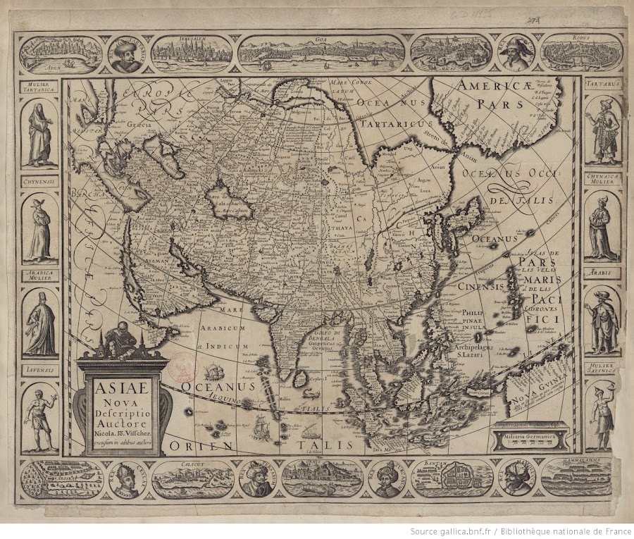
![1570_Asiae nova descriptio [ab Ortelio]](https://lh3.googleusercontent.com/d/1Q3jiR1NhoJT44YsK0_OP8nflf8LiNAy9=w900)
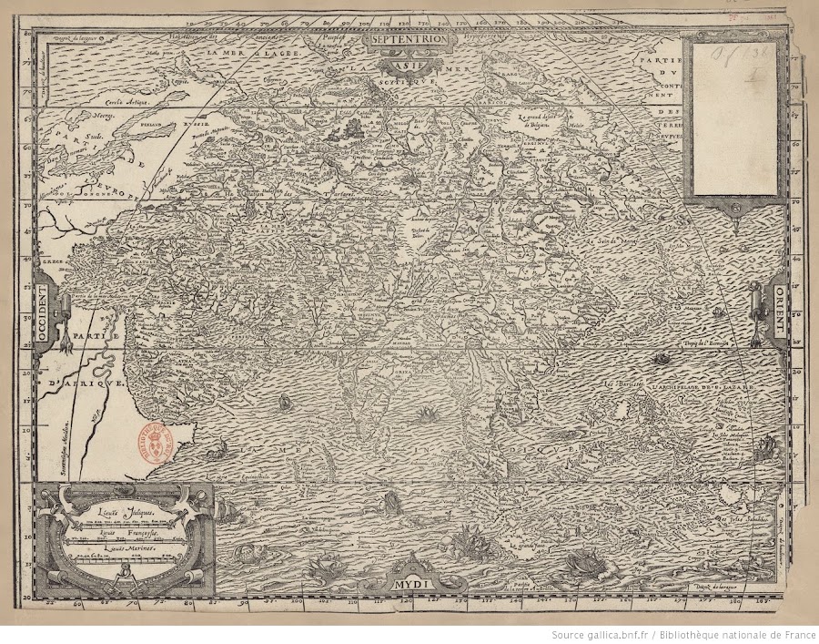
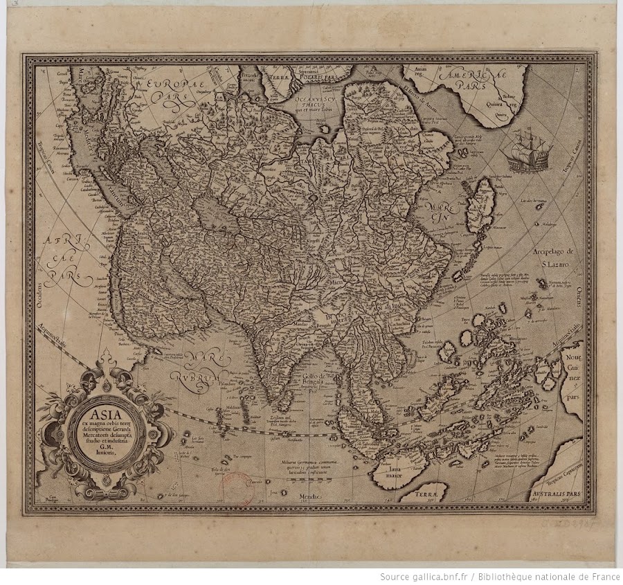
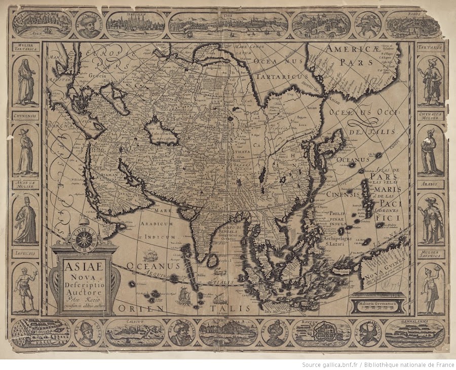
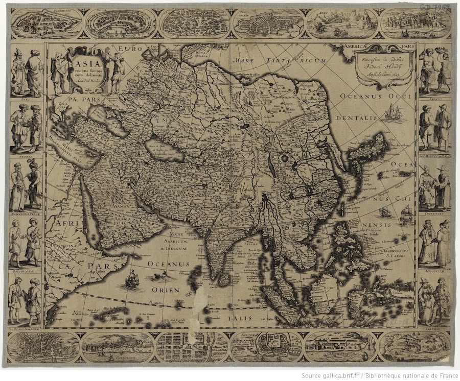


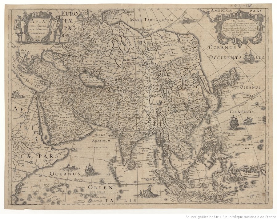
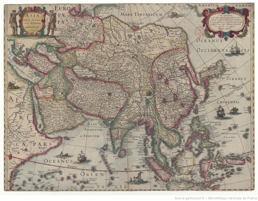
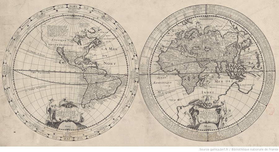
![1639_Carte de l'Amérique nouvellement dressée suivant les nouvelles découvertes et mise en fransois [et] carte nouvelle de l'Europe, Asie, Afrique, nouvellement dressée et mise en fransois](https://lh3.googleusercontent.com/d/1OplsTz6sQ9ncTXykiCv5CJYxxmwx-24D=w900)
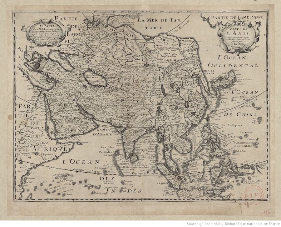
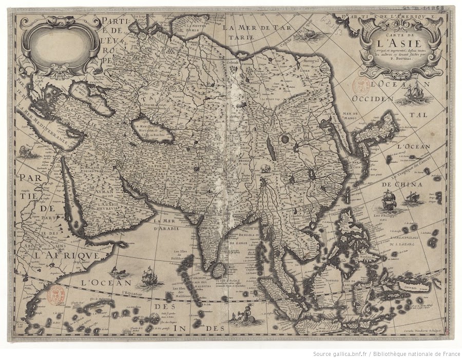
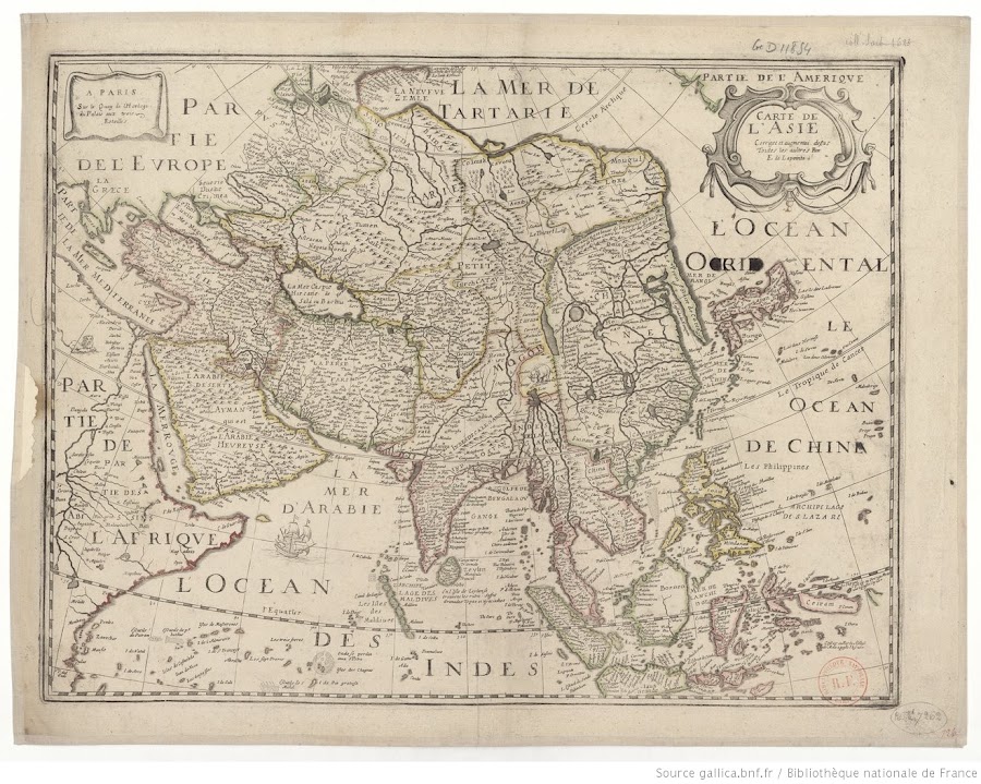
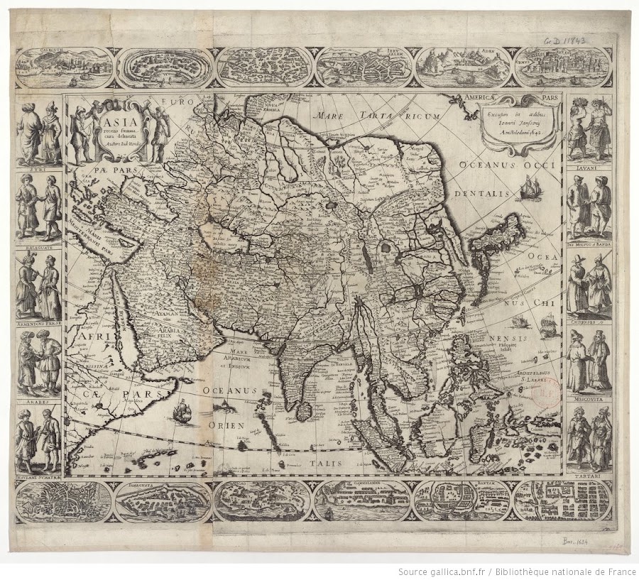
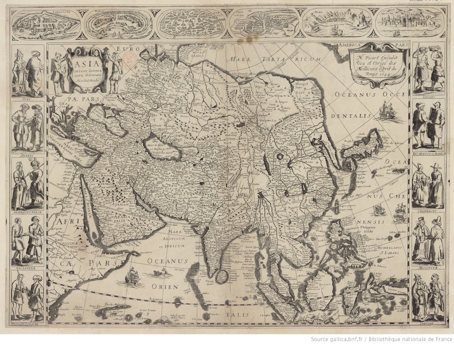

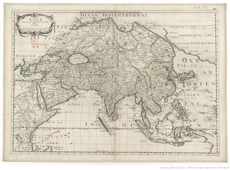
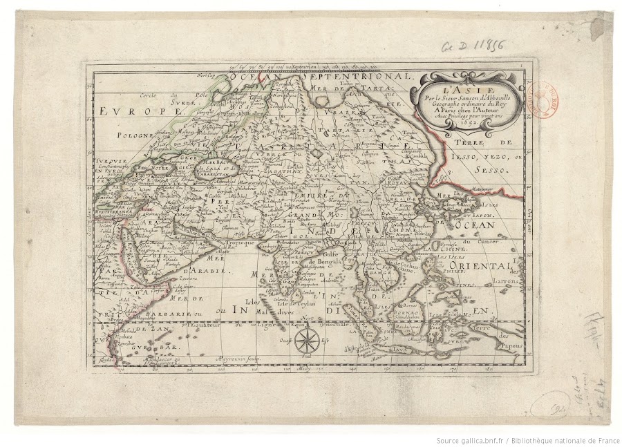
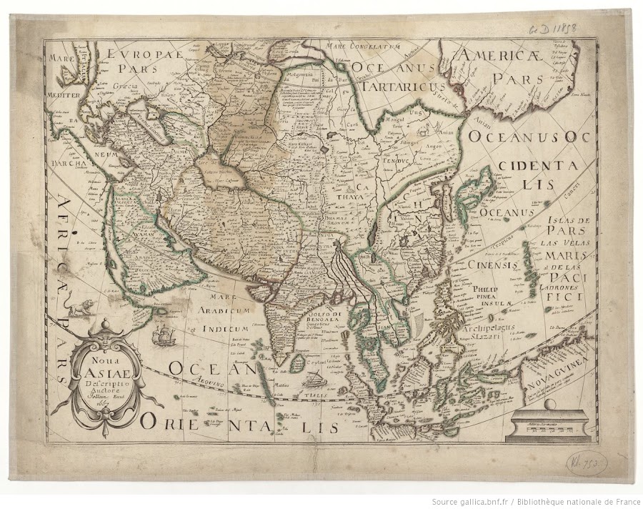


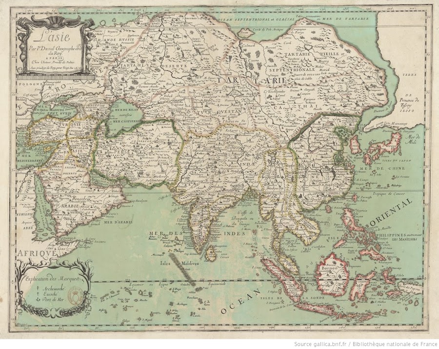
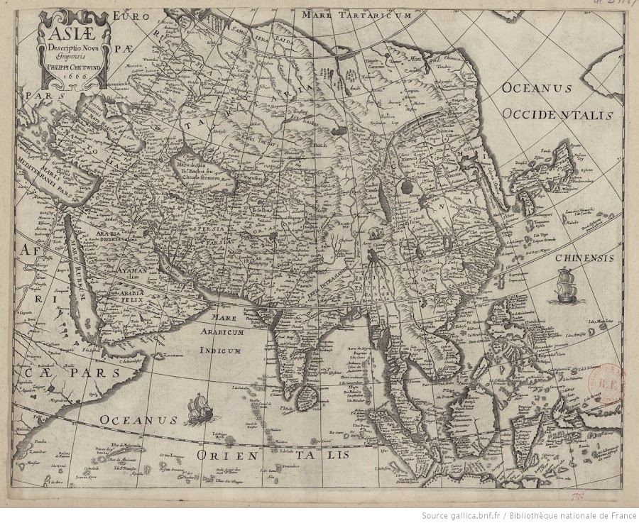
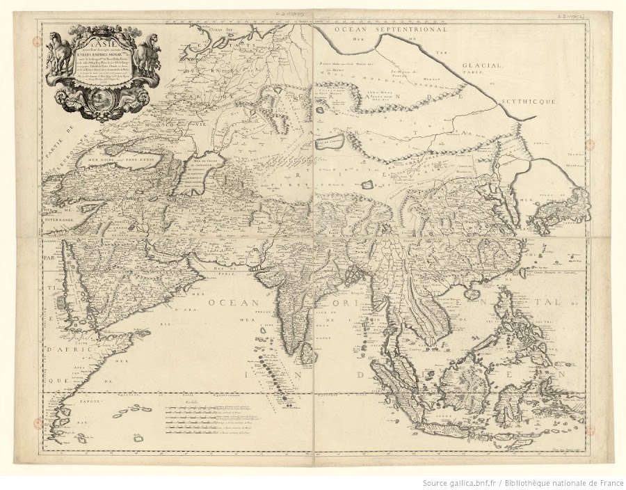
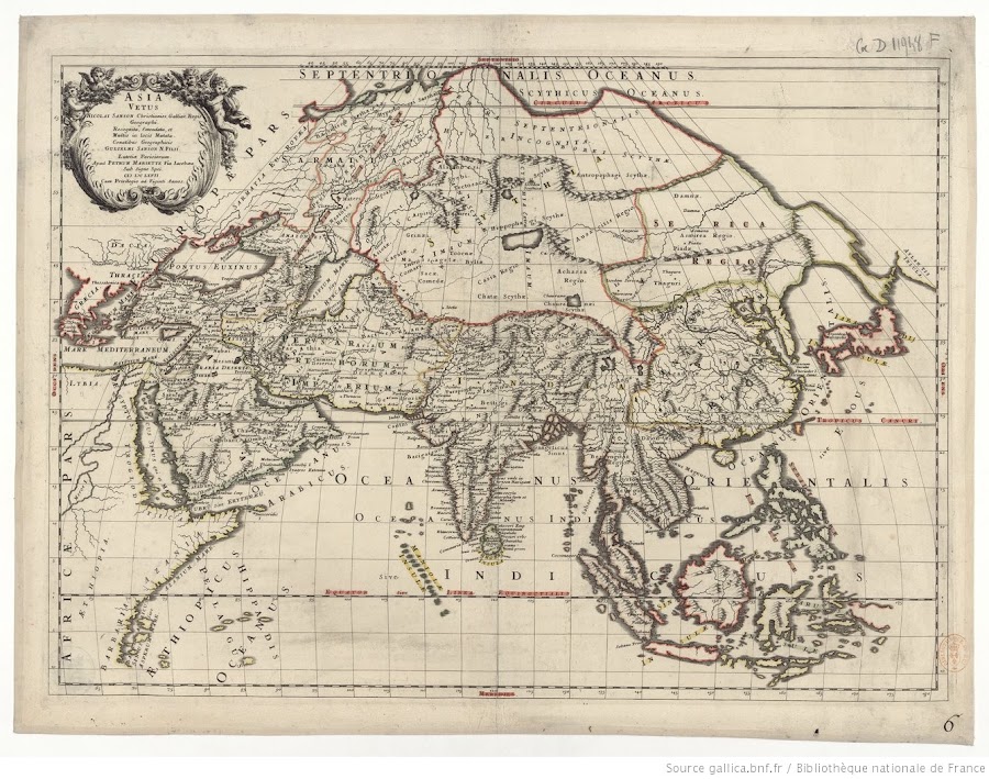
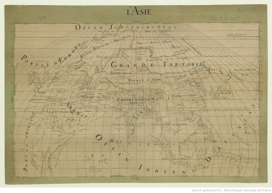
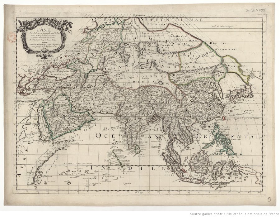
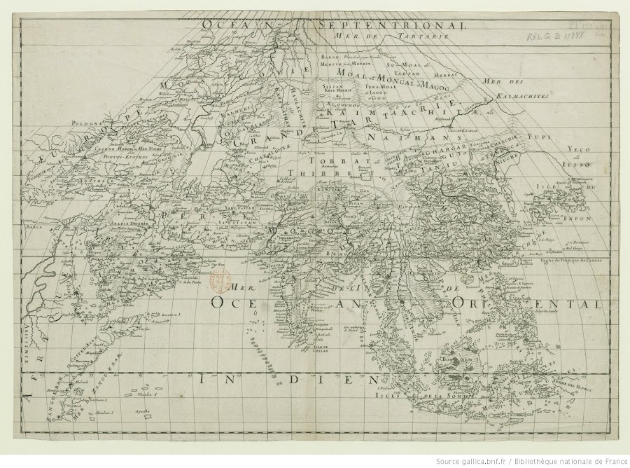
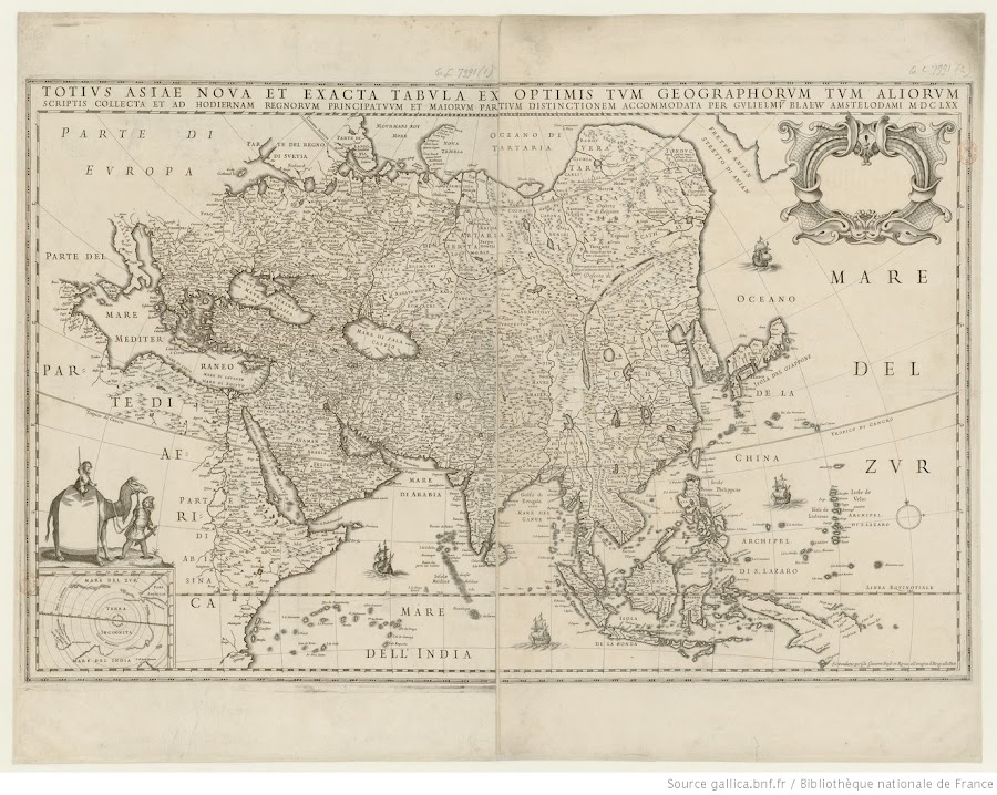

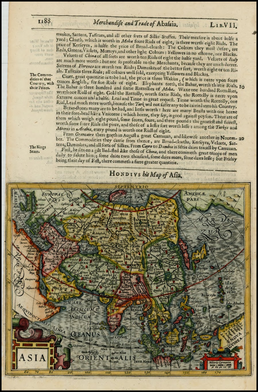
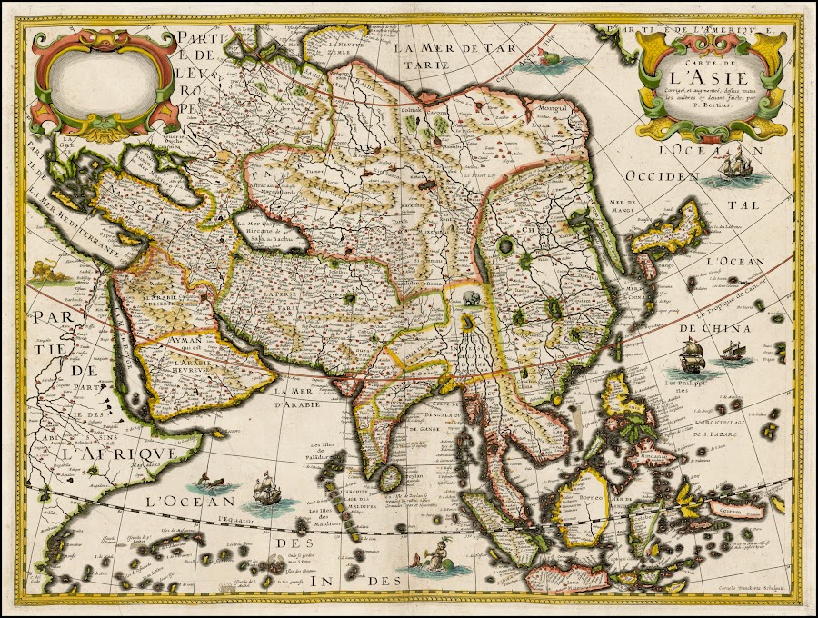
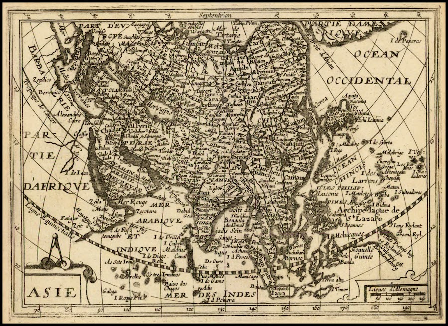
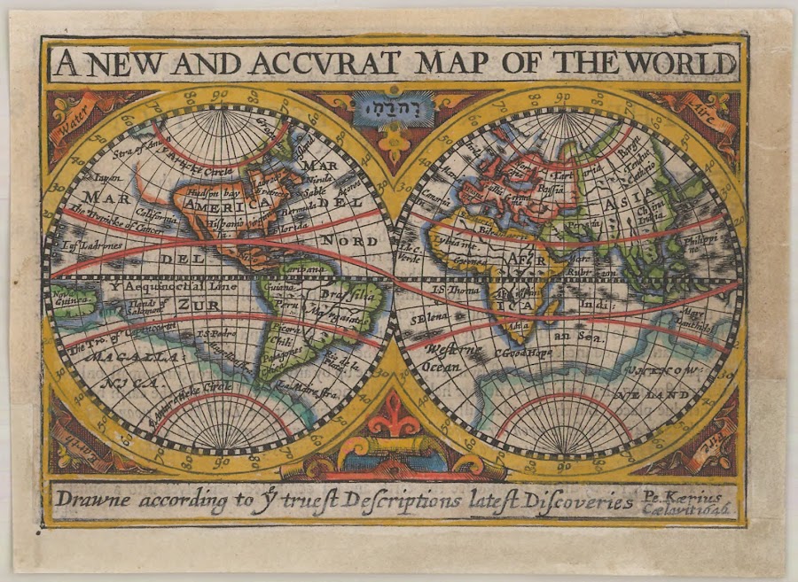
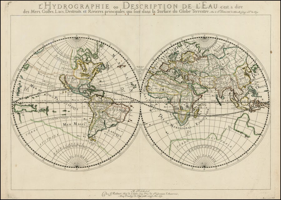
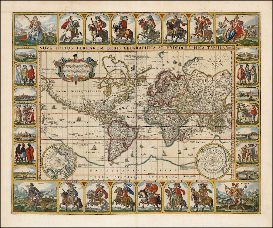
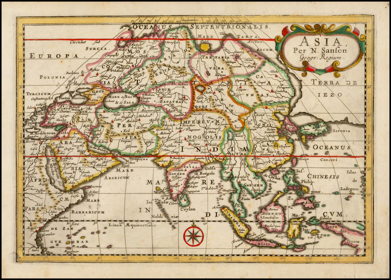

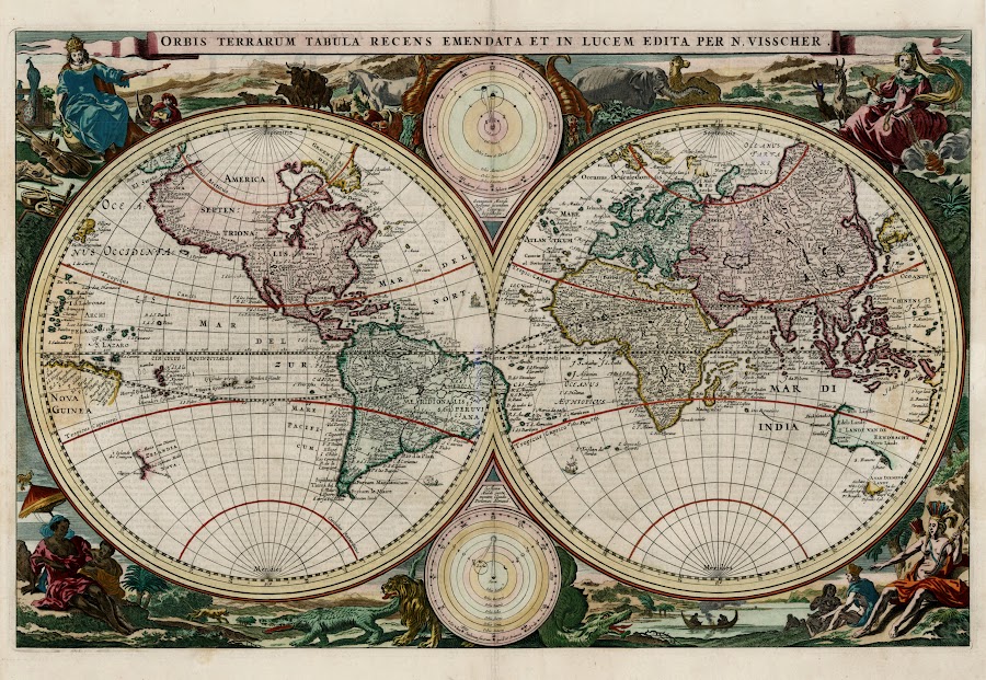
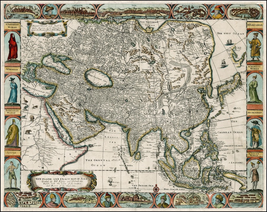
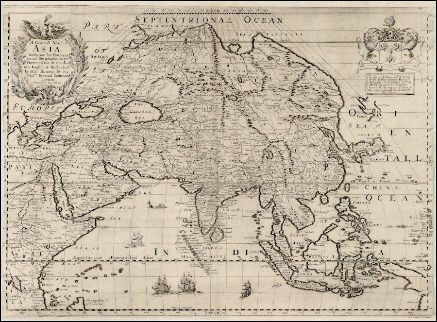
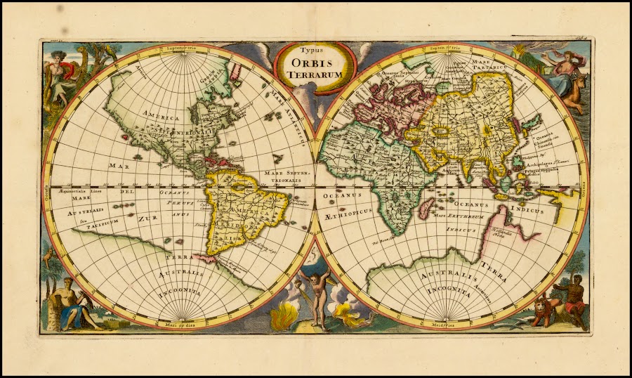
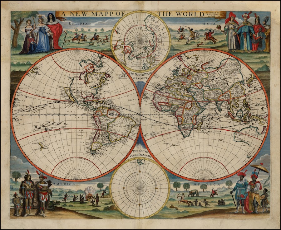
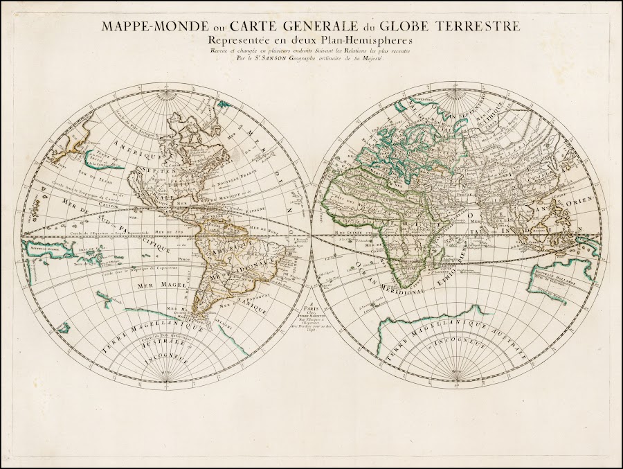
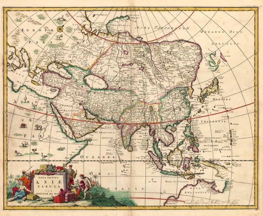
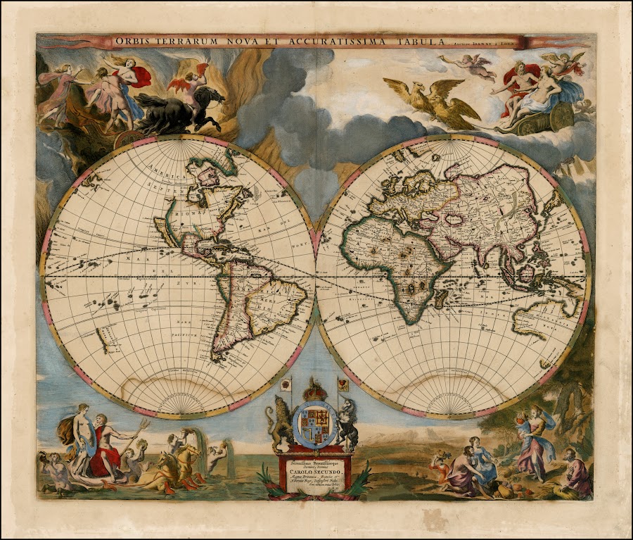
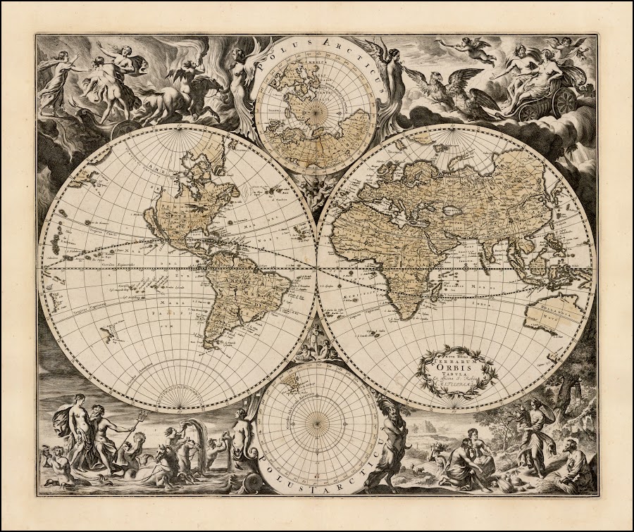

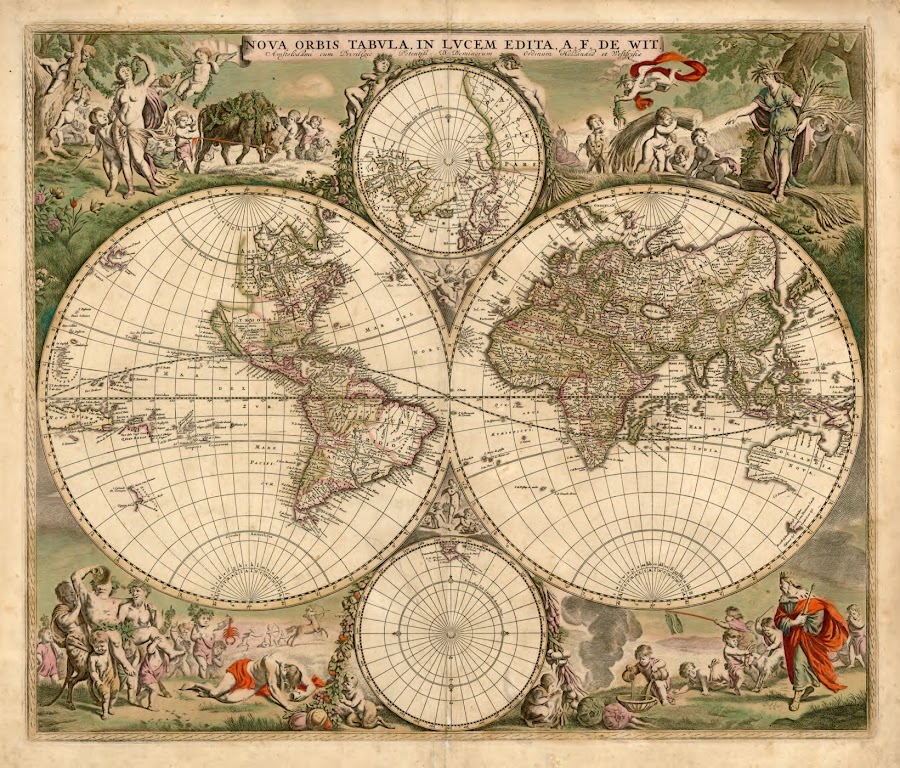
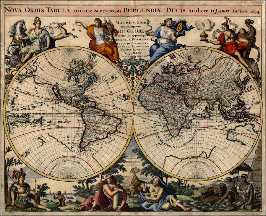

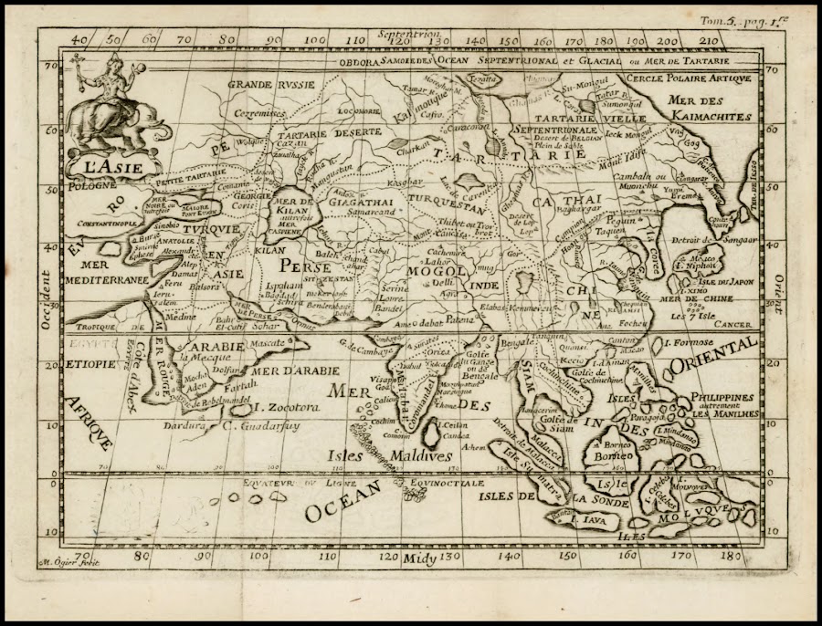
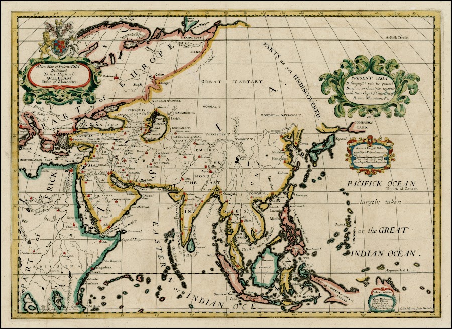
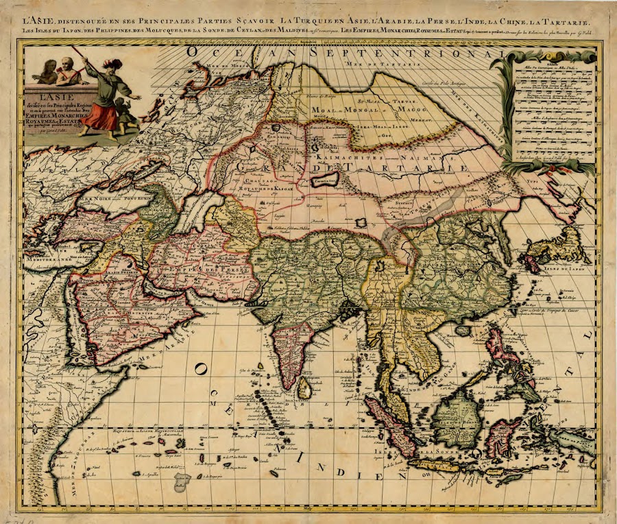


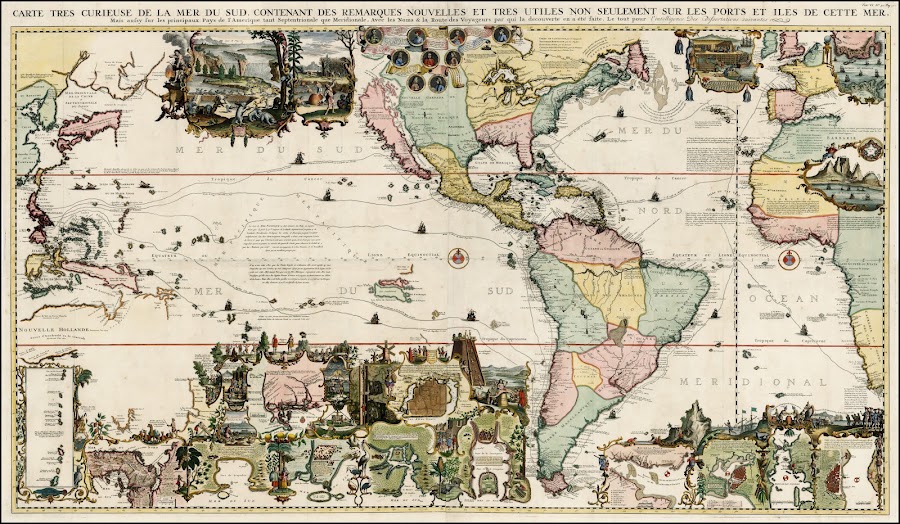

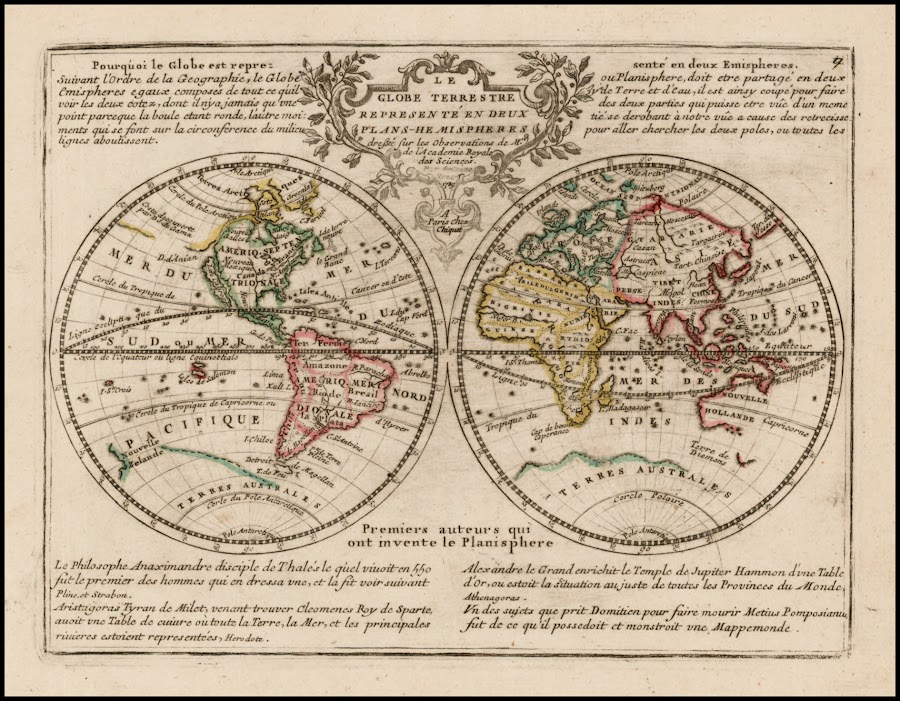
![1732_[Asia]](https://lh3.googleusercontent.com/d/1PCsnob0ODL4YrEVCD_ItCCIahBpNTEEI=w900)
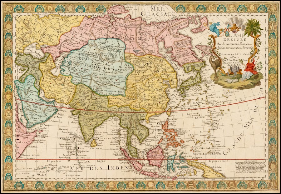

![1741_Europa Poly Glottia Linguarum Geneologiam exhisbens [with] Asia Poly Glottia [with] Africa Poly Glottia [with] America cum Supplementis Poly-Glottis](https://lh3.googleusercontent.com/d/1-7dPT20oUGgLPHGA10HWL9Oarj0KNQna=w900)

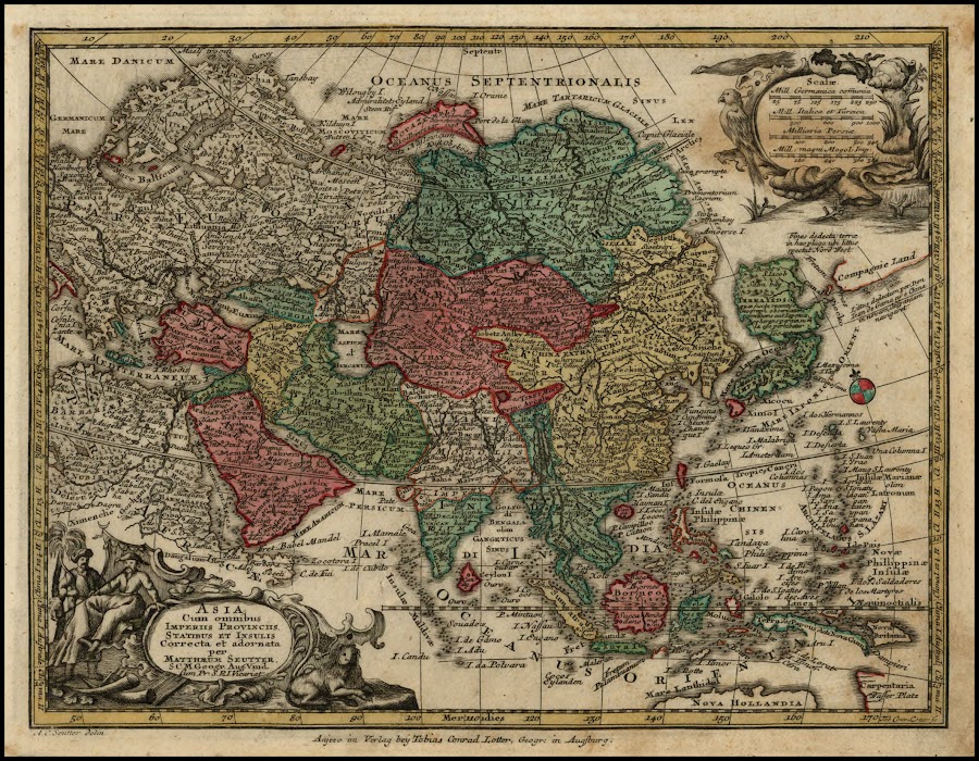
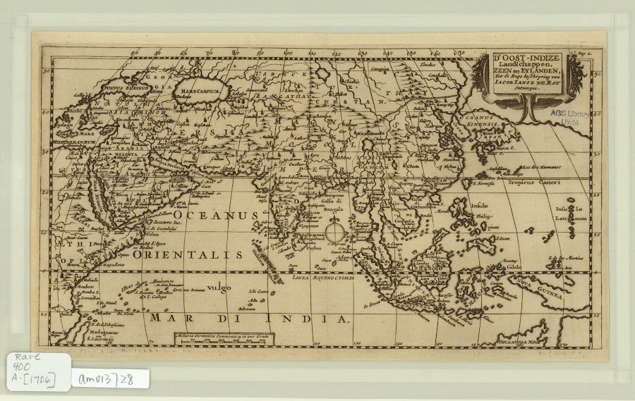

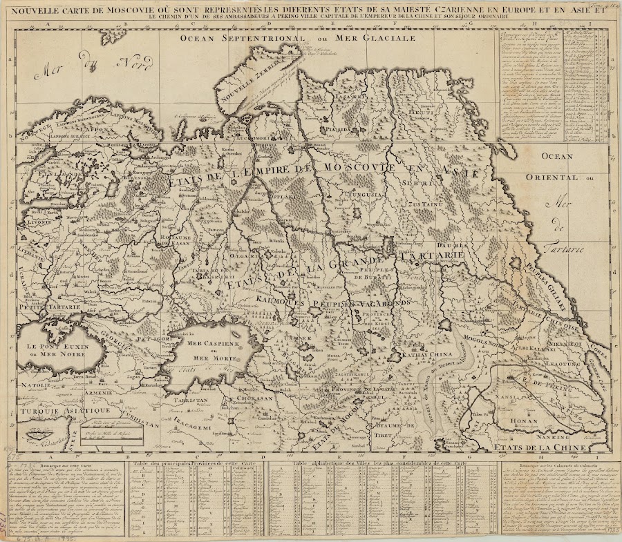
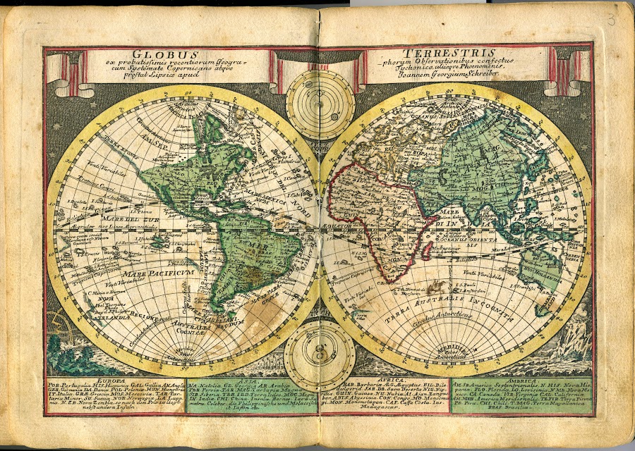
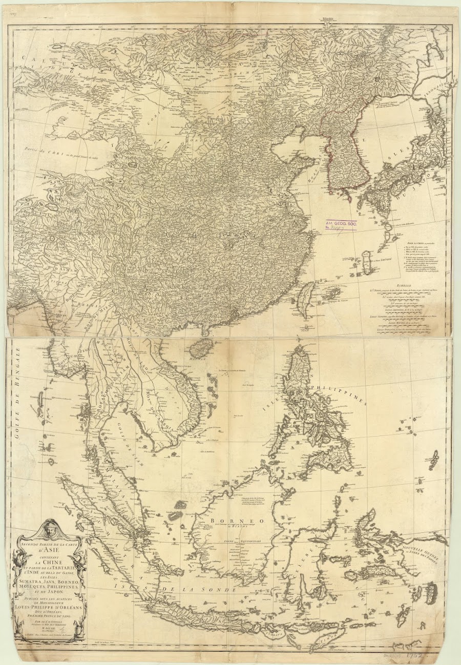

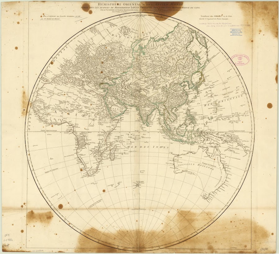
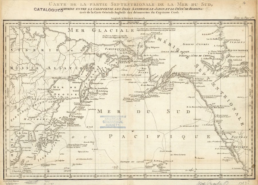
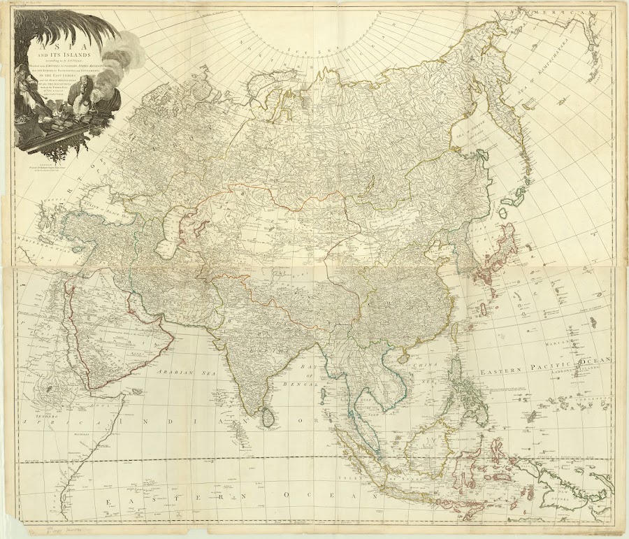
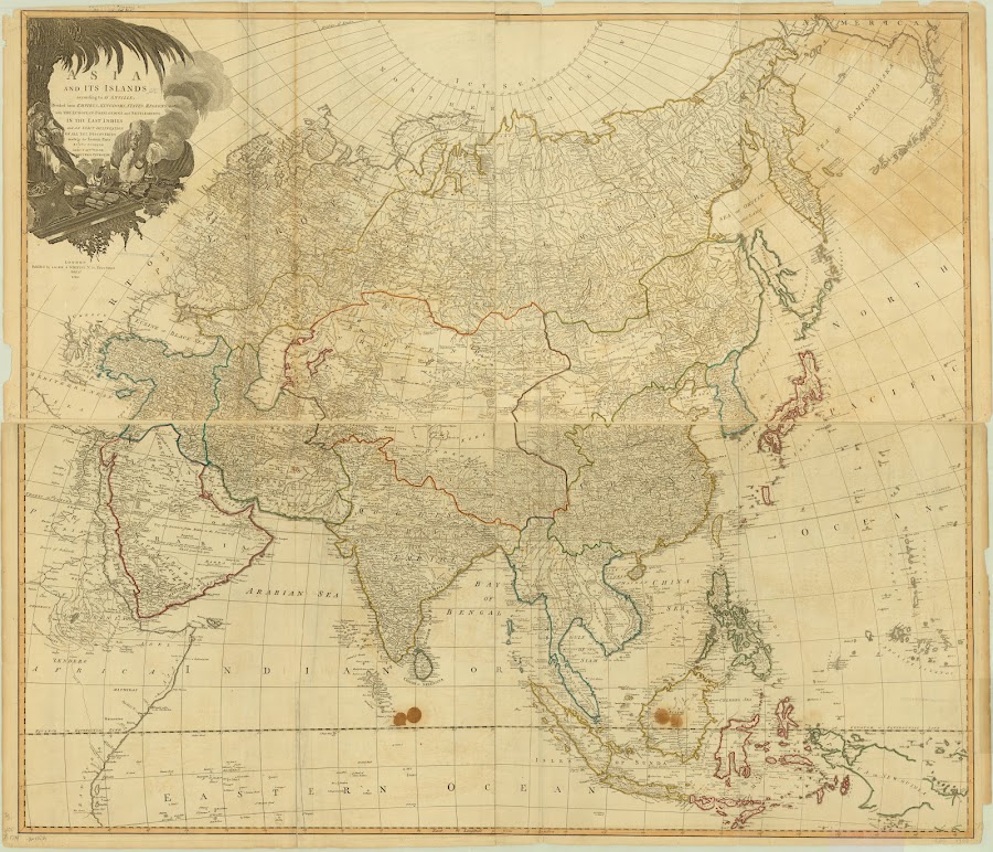
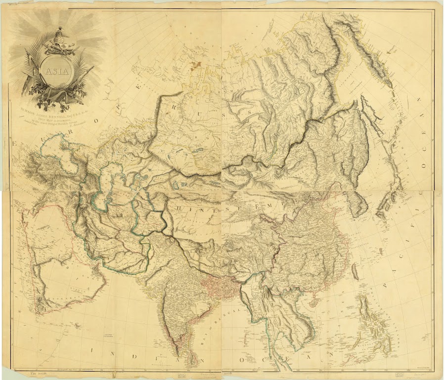


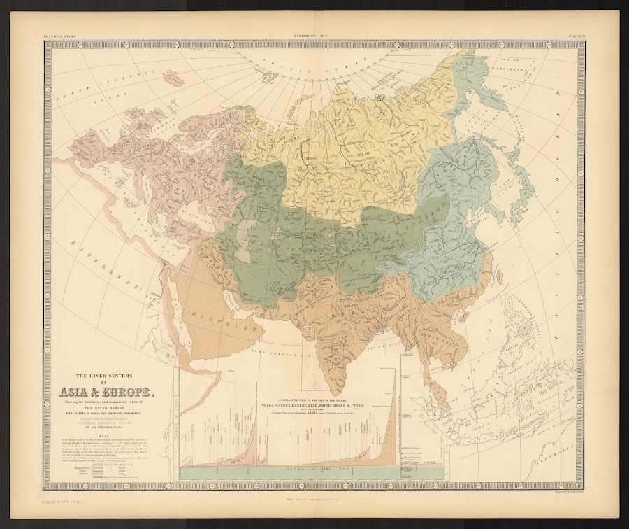
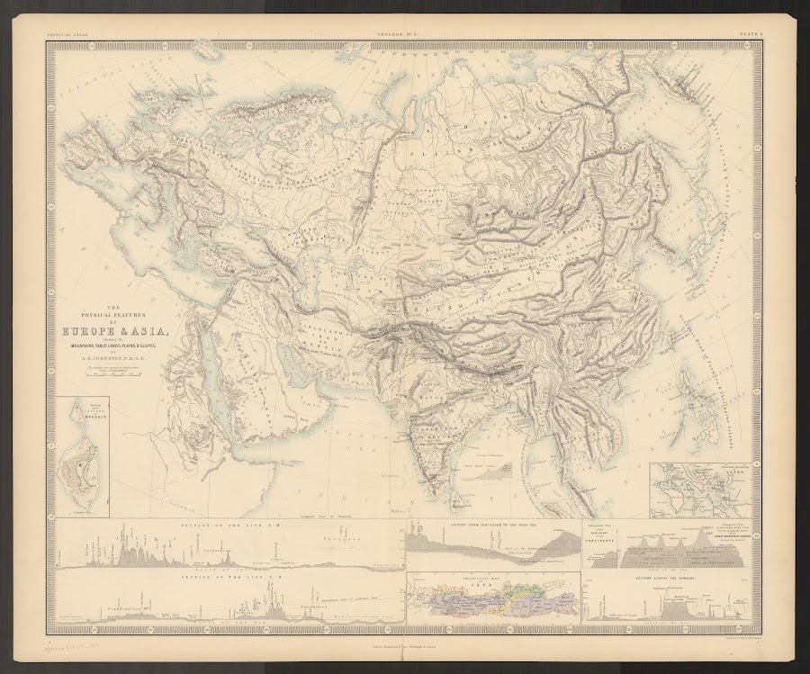
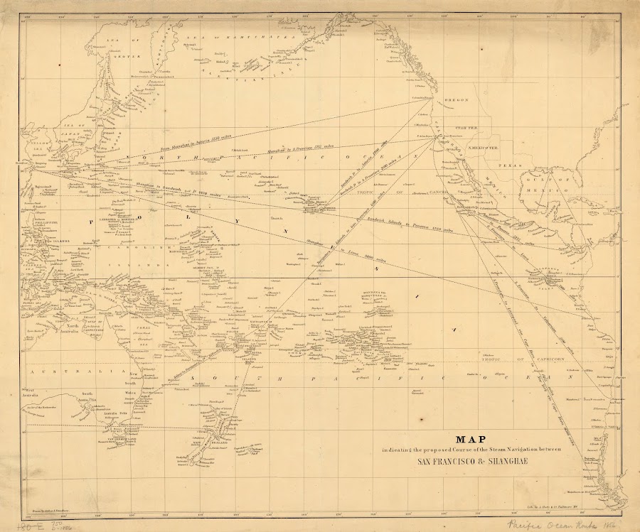
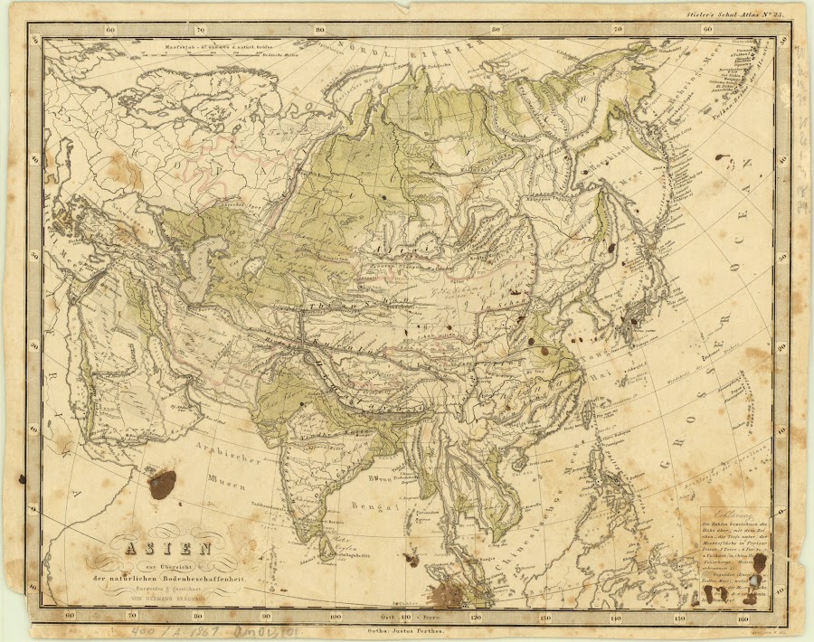
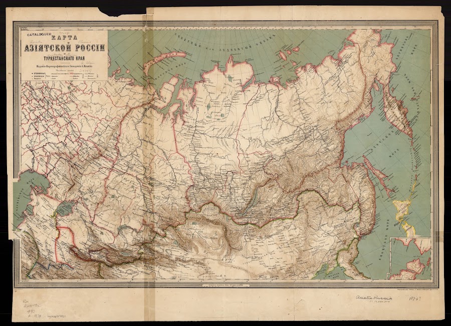

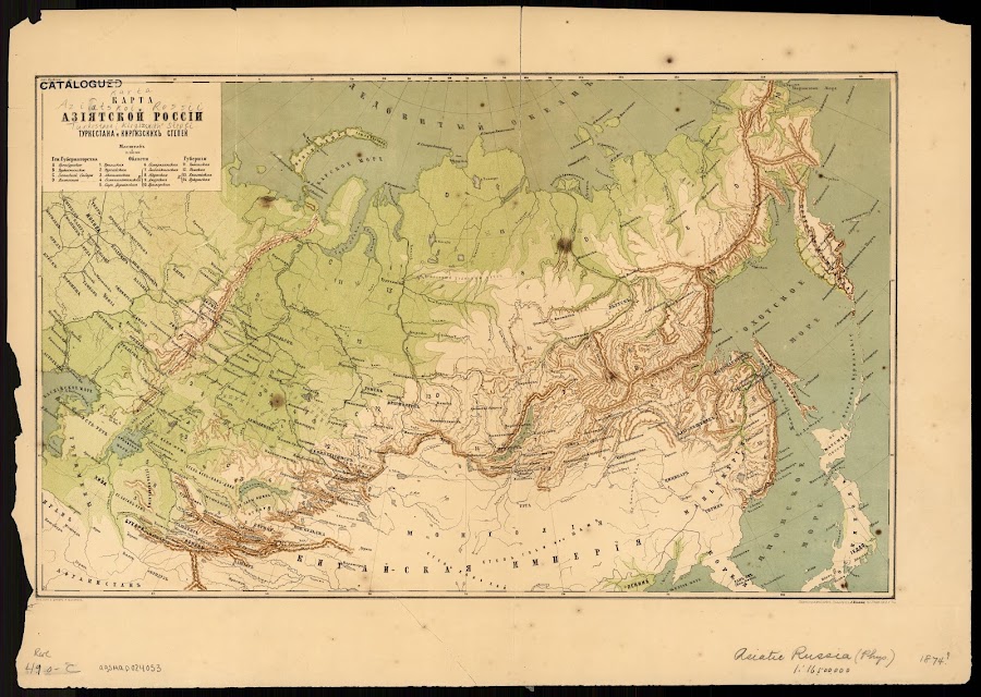
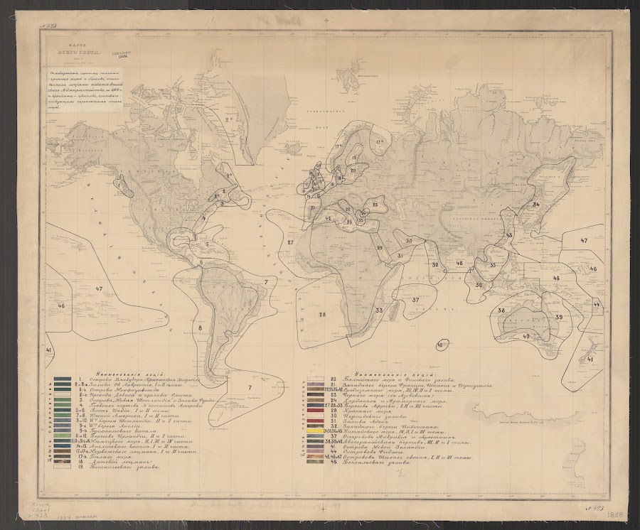
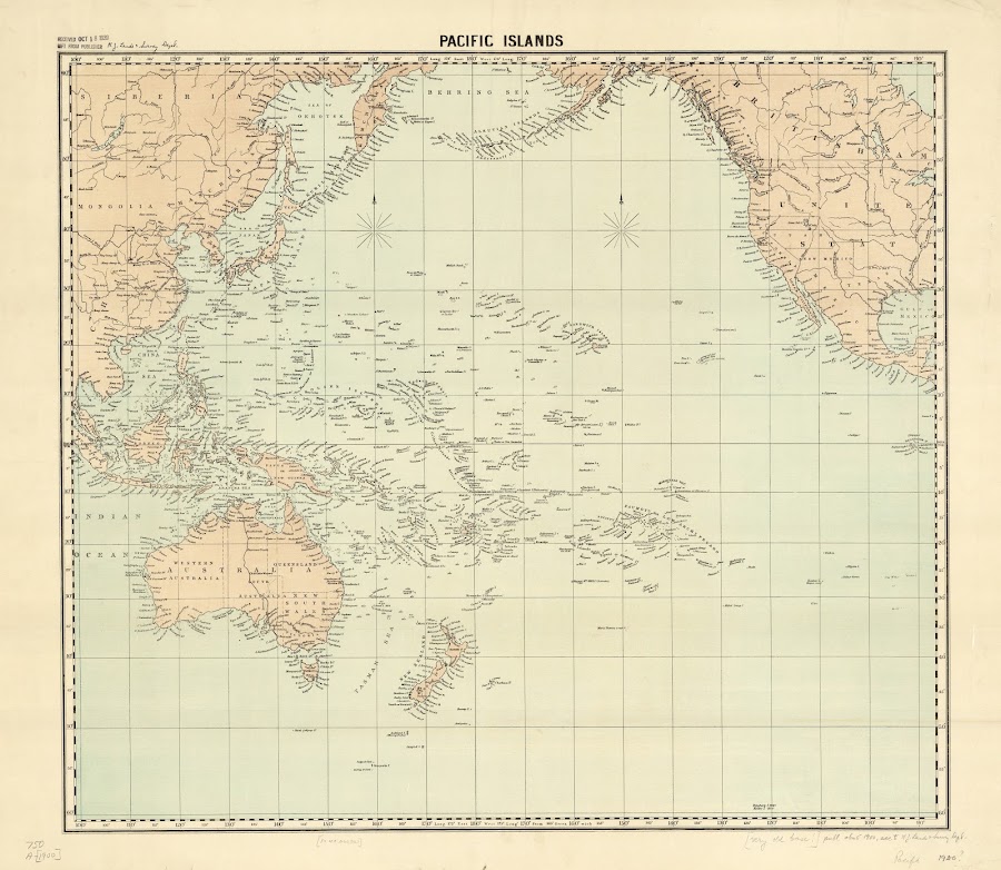

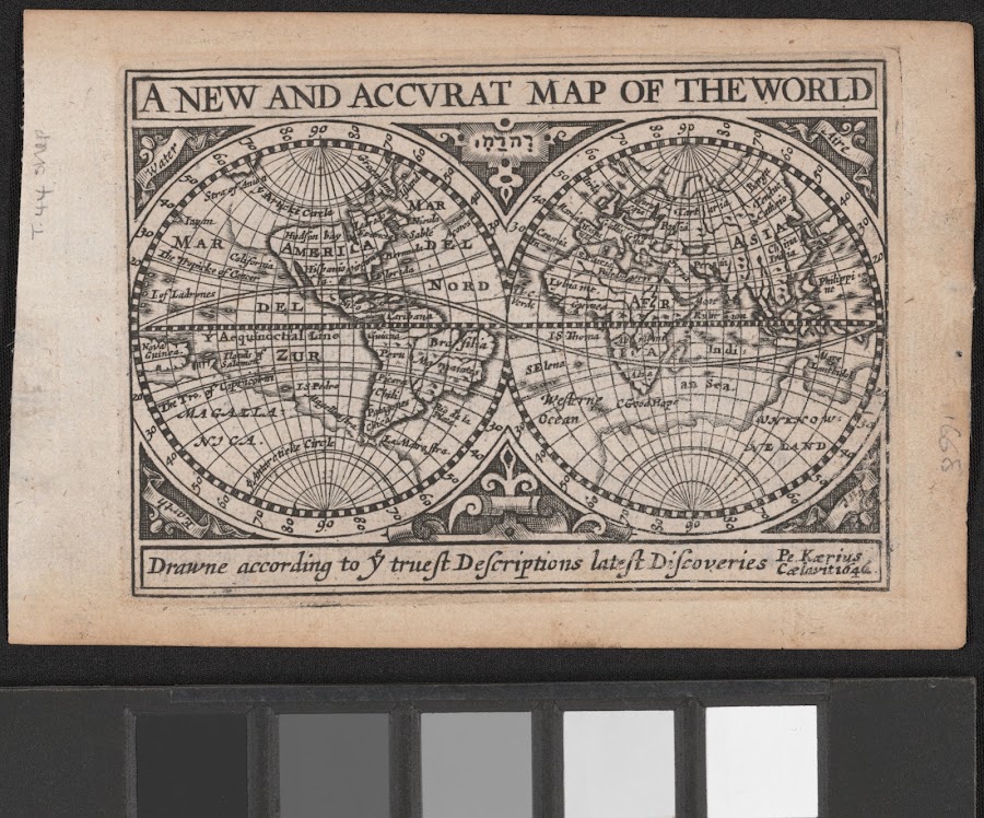
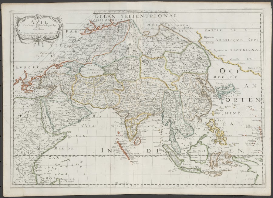
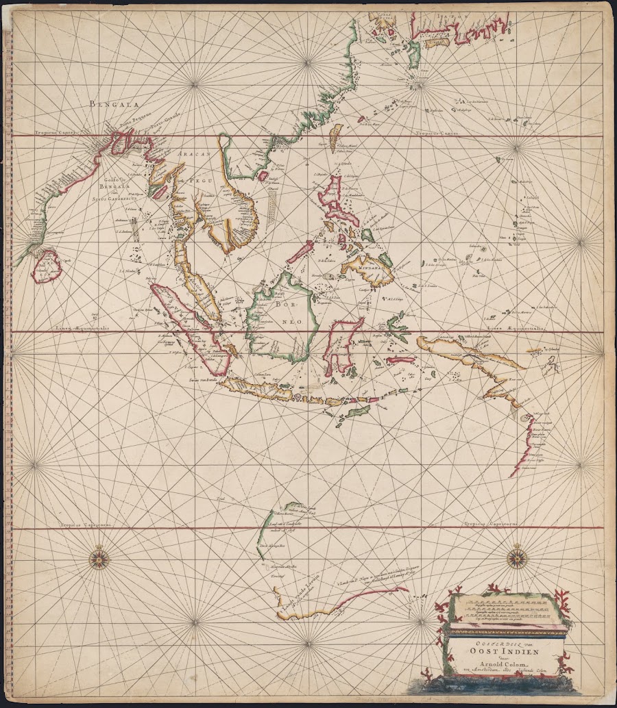
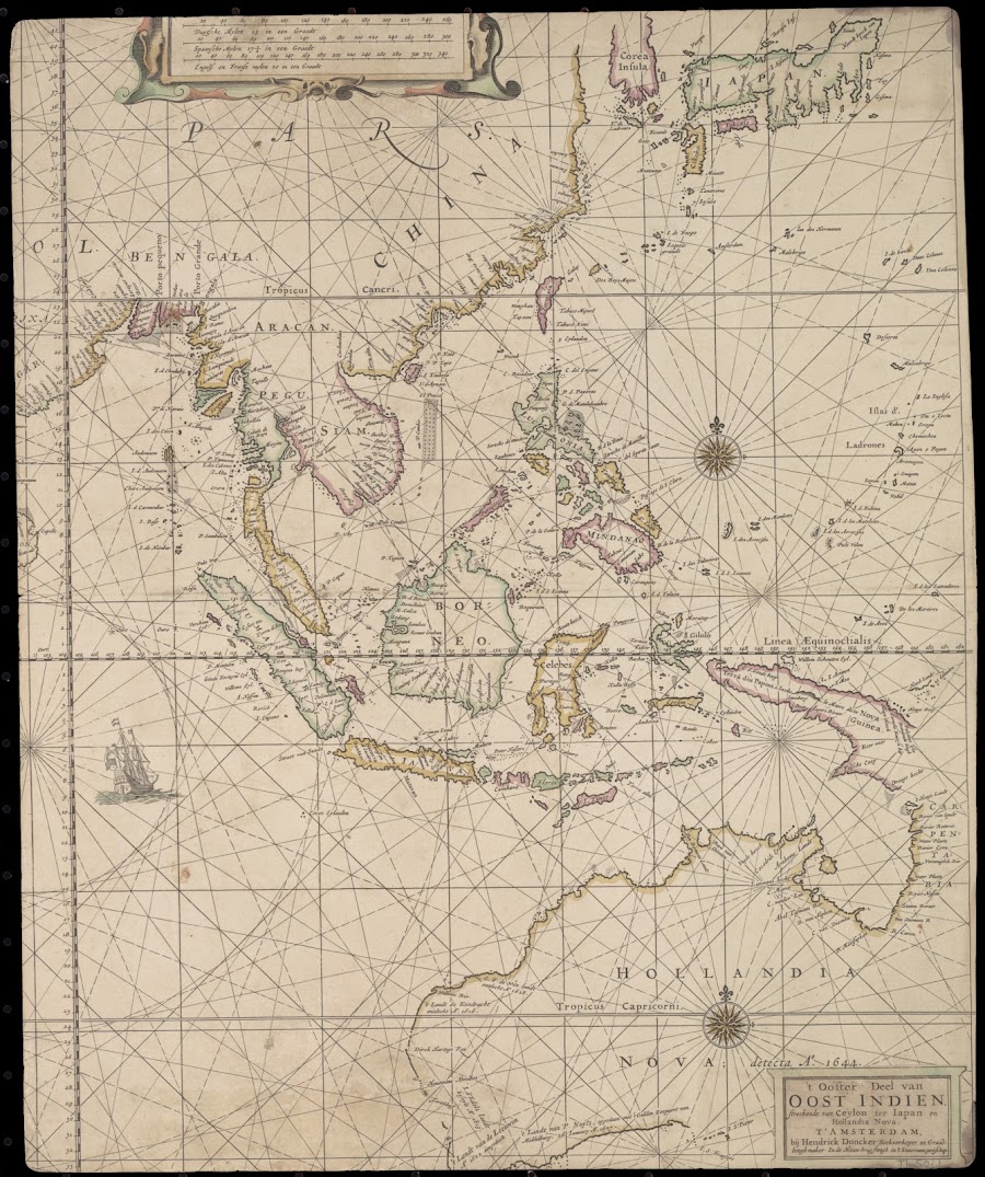
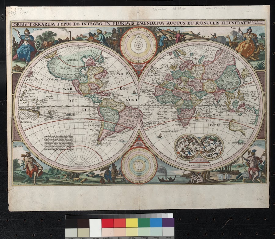
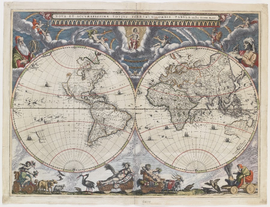
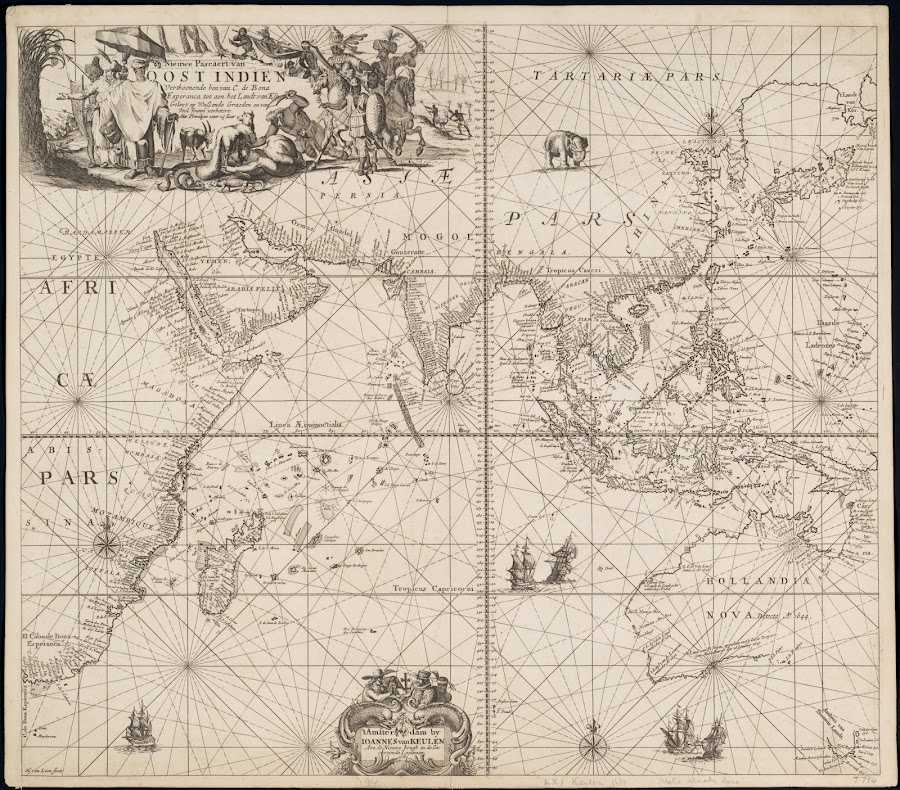
![1666_['t ooster deel van Oost Indien]](https://lh3.googleusercontent.com/d/1uWYOND9sYW_FCXr2eKVQoNpUbWaW9qMD=w900)
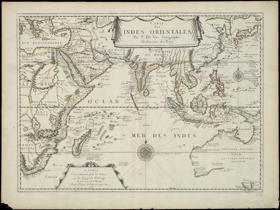
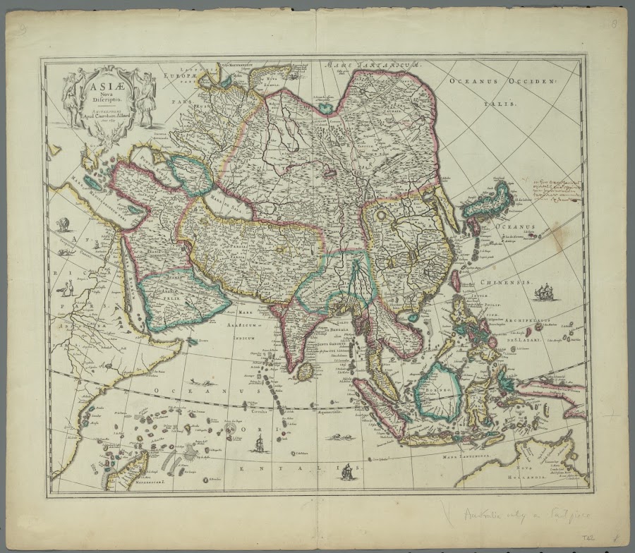

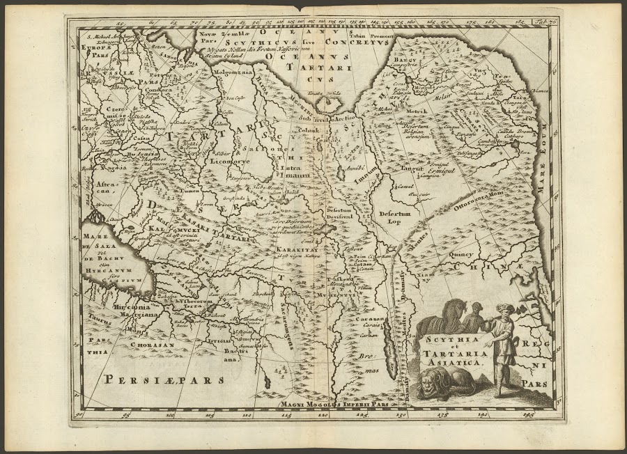
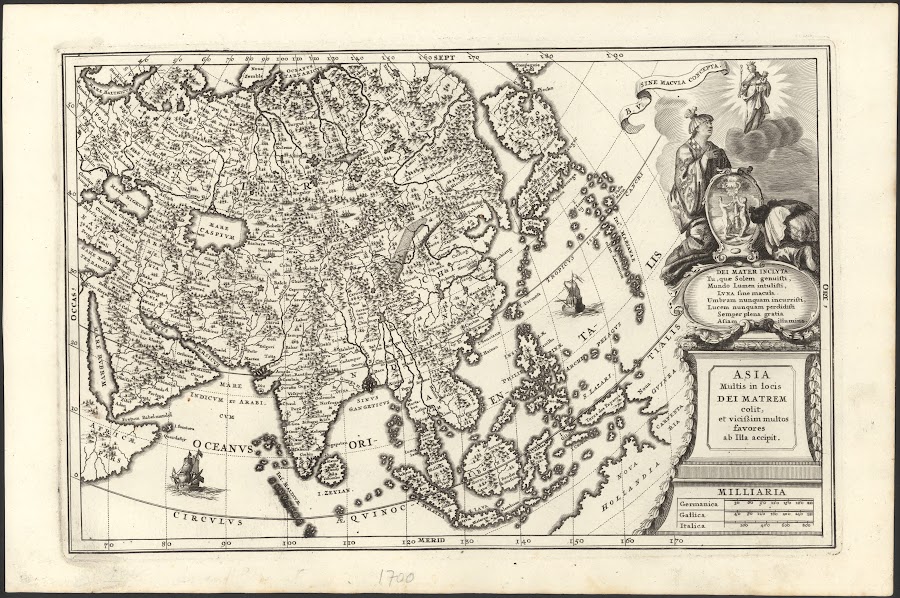
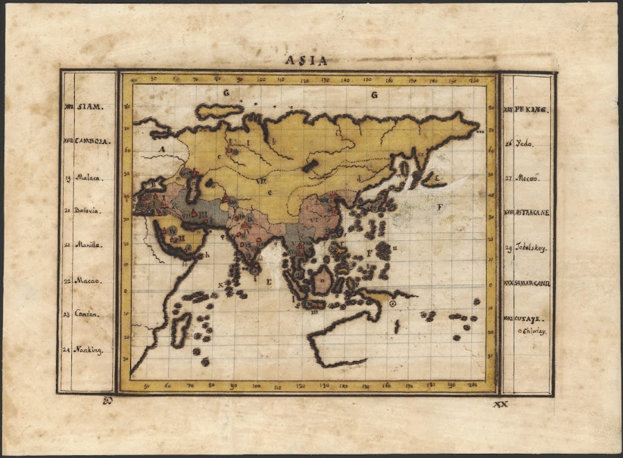

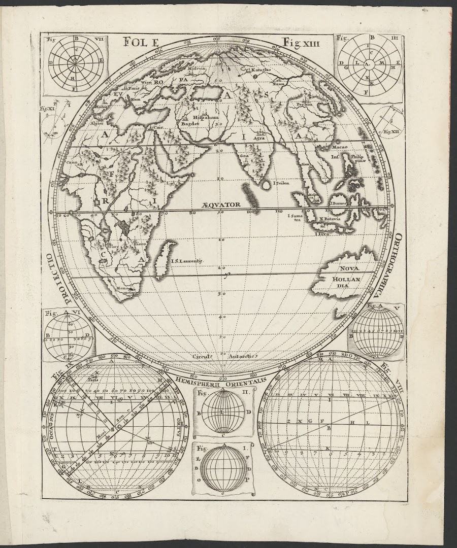


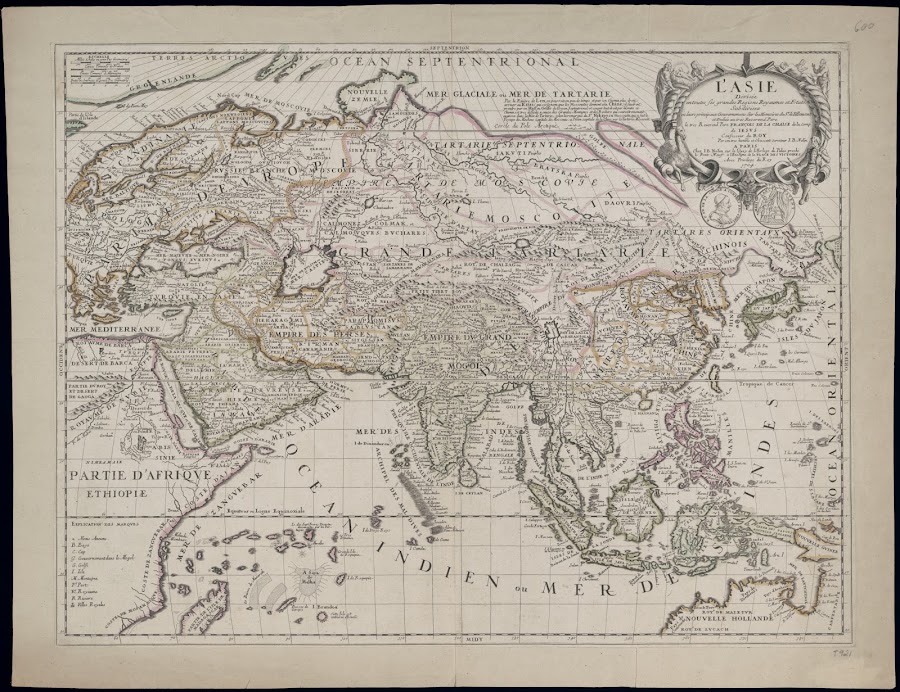


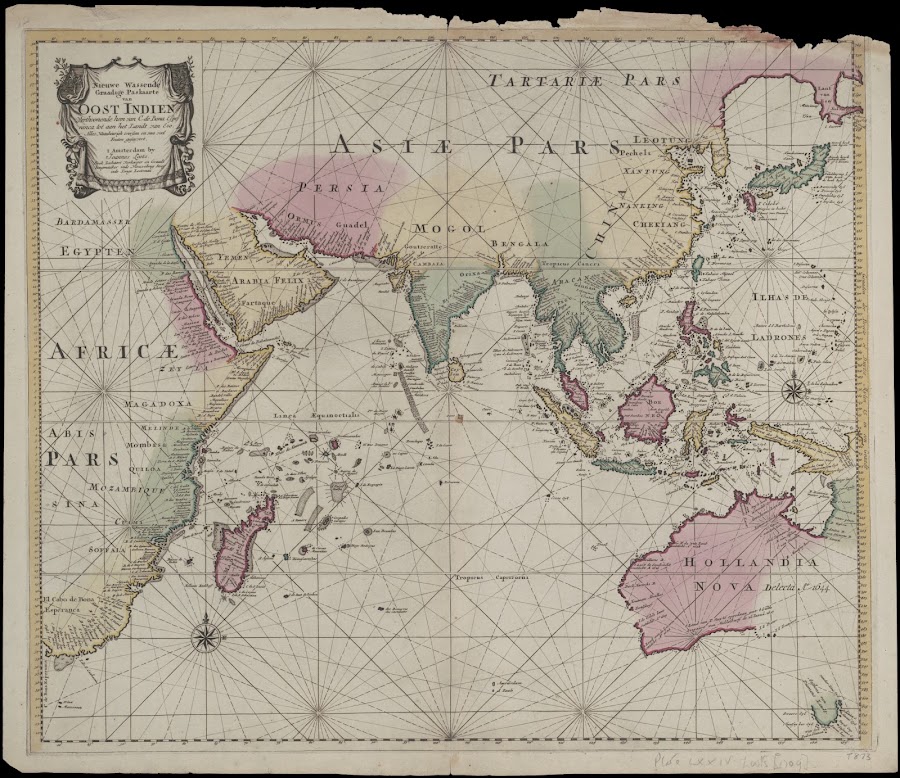
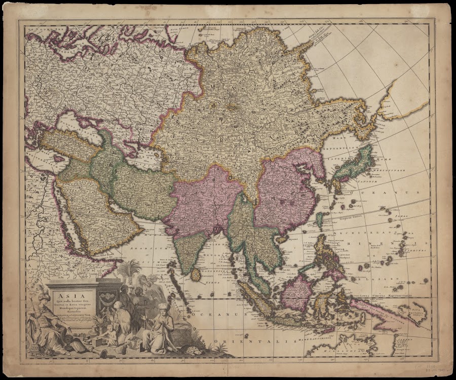
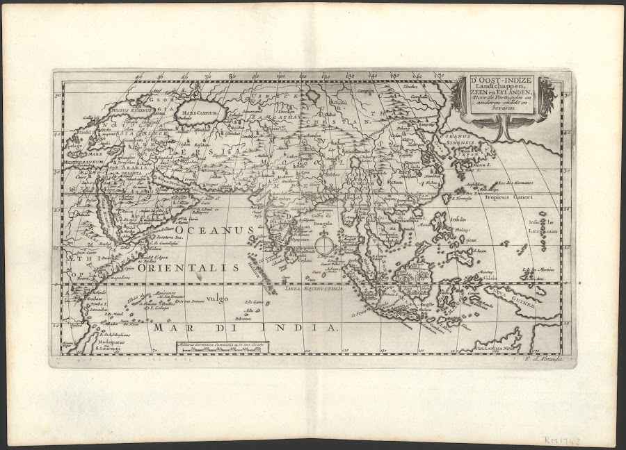
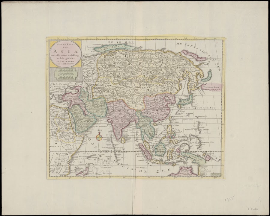
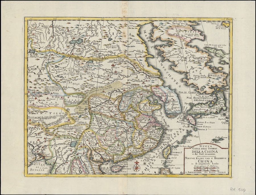
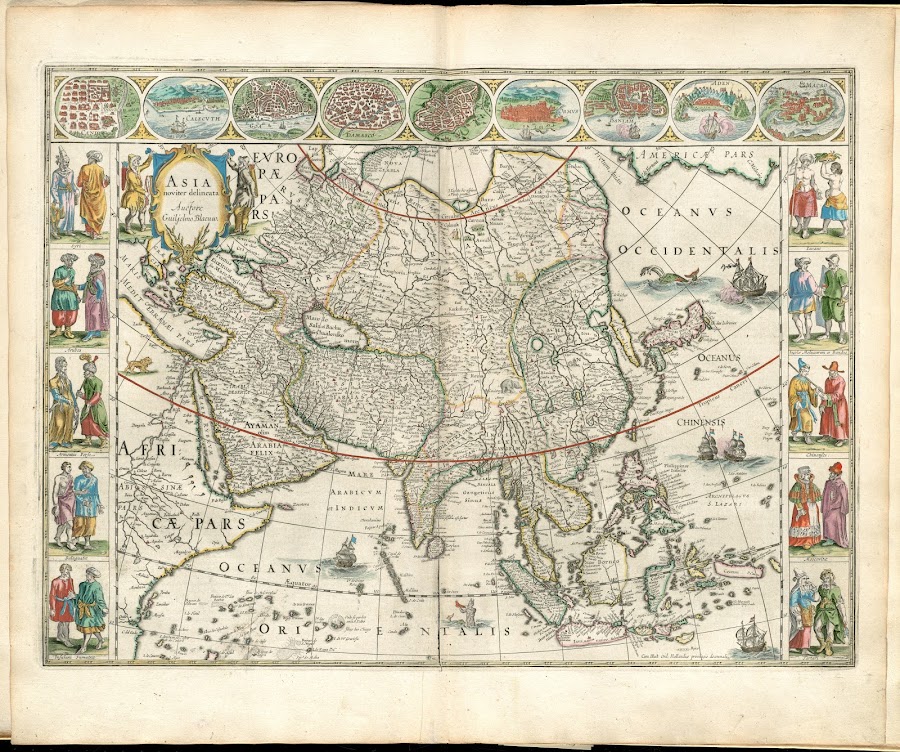
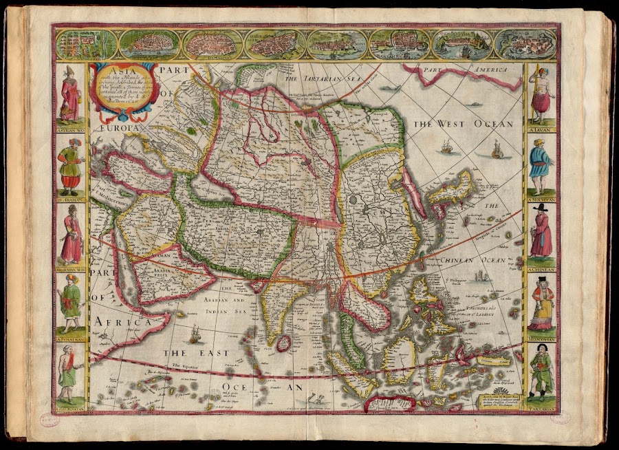
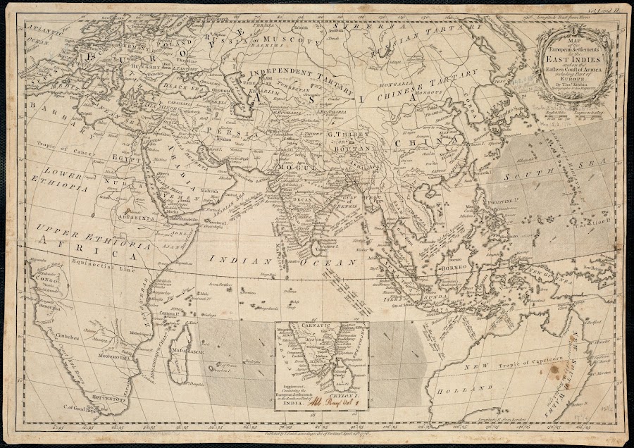
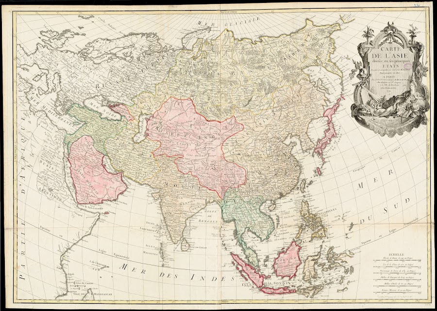


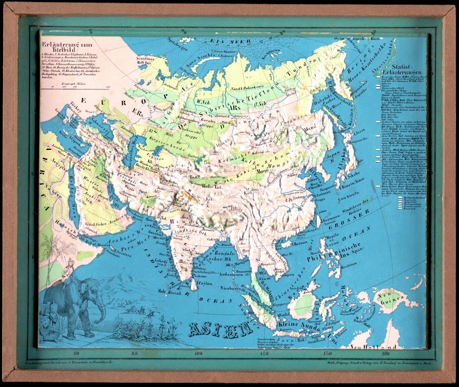
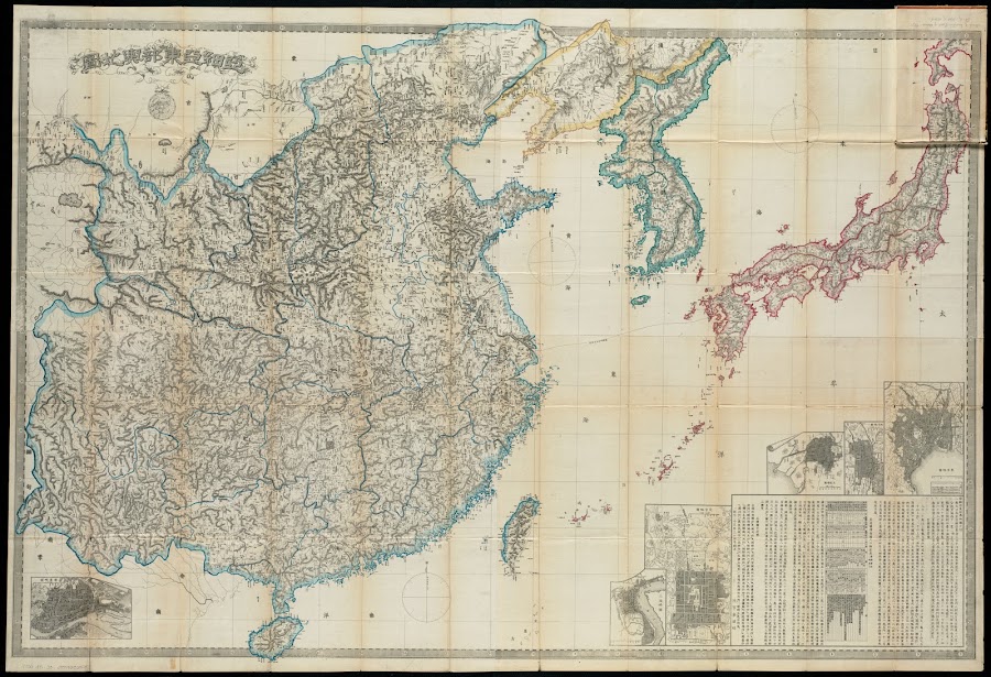

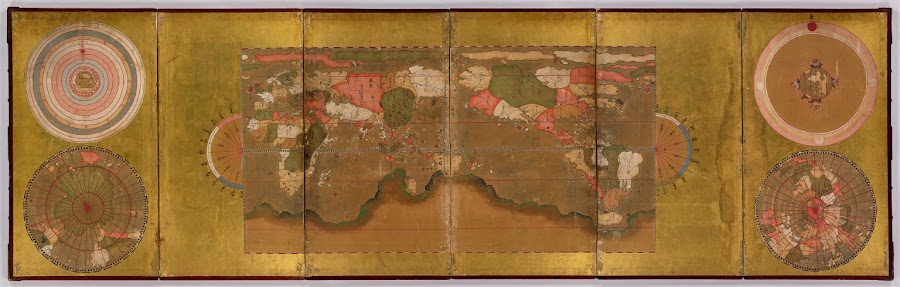
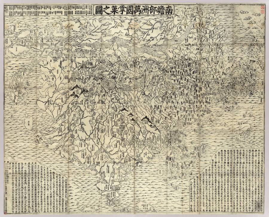
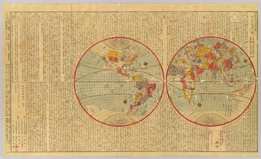
![1800_[Sekai zu]](https://lh3.googleusercontent.com/d/1rW7JA1gxjWb_sYnhbYZD2fctj6wz4yud=w900)
![1834_[World map]](https://lh3.googleusercontent.com/d/1MBOqLtK-FAkjyz5GSywL-CWm6oKjFTDK=w900)


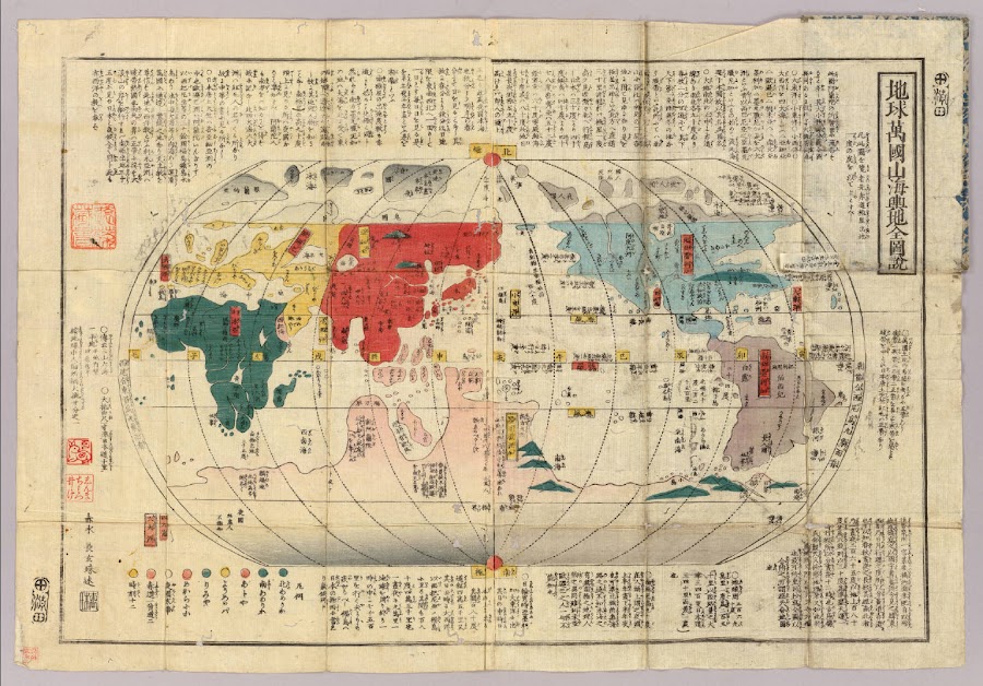
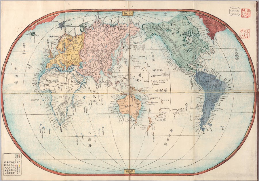
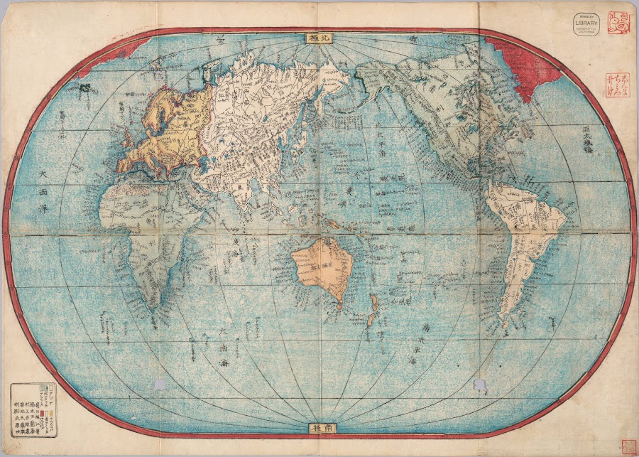
![1853_[Shintei] chikyu bankoku hozu](https://lh3.googleusercontent.com/d/1mi0yJdgiZAPCL-o2O9AqtFPGA5Jw3EGC=w900)
![1853_[Japan]](https://lh3.googleusercontent.com/d/1Vz9unpYjJMDlAwfMwBjfbTo810T7nQOv=w900)


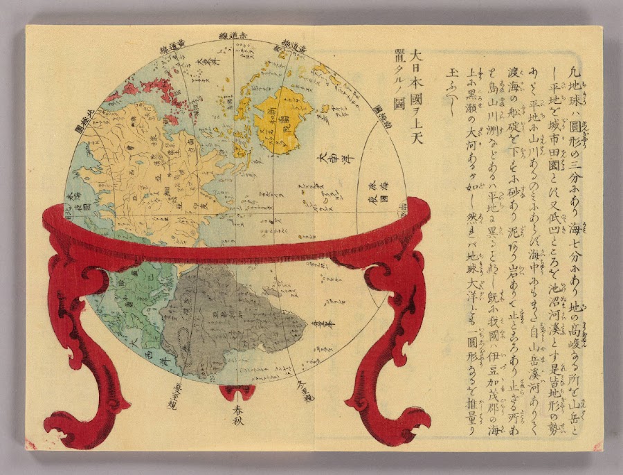
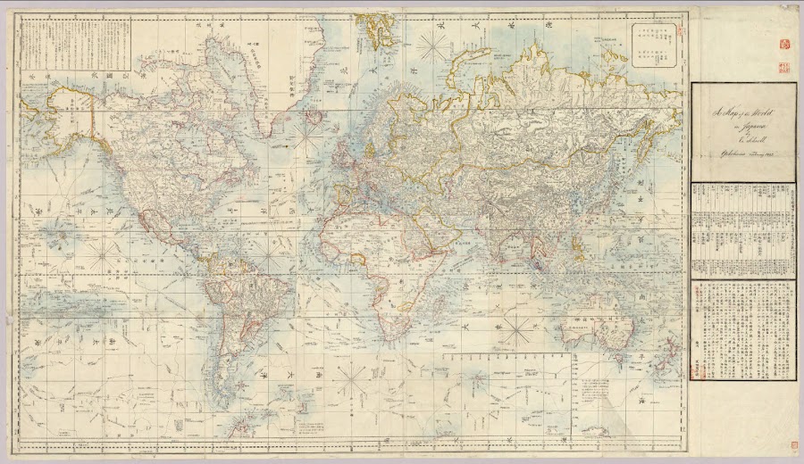
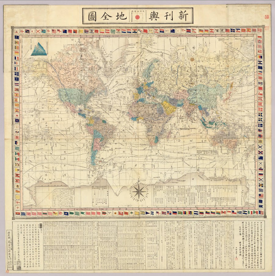
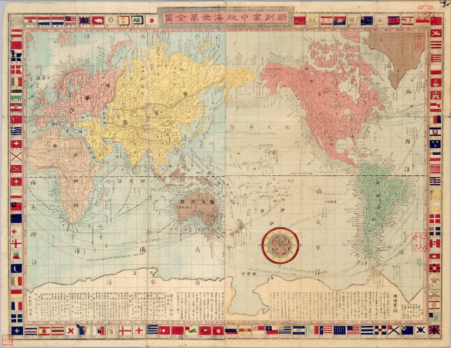


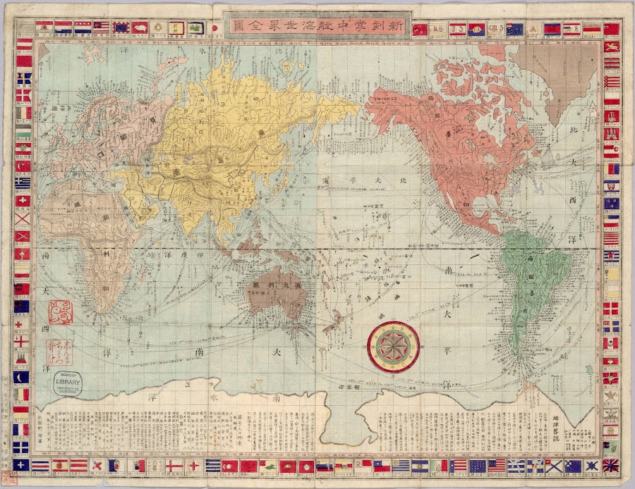
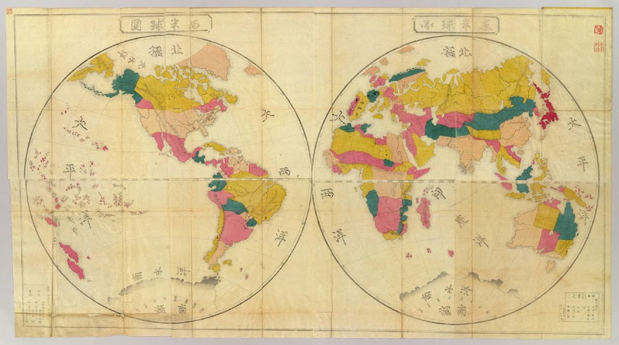
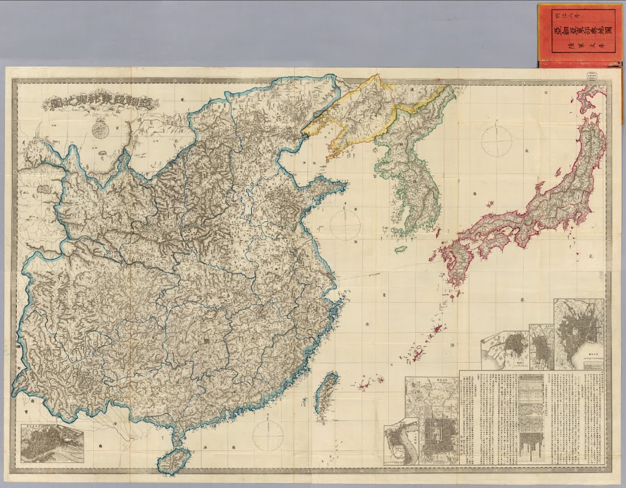
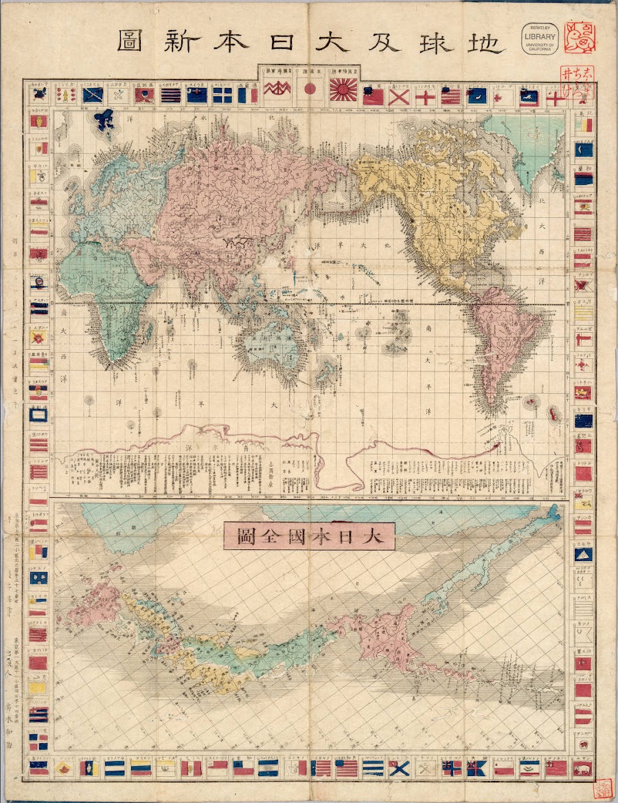
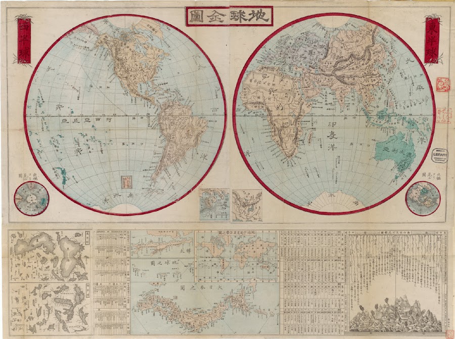
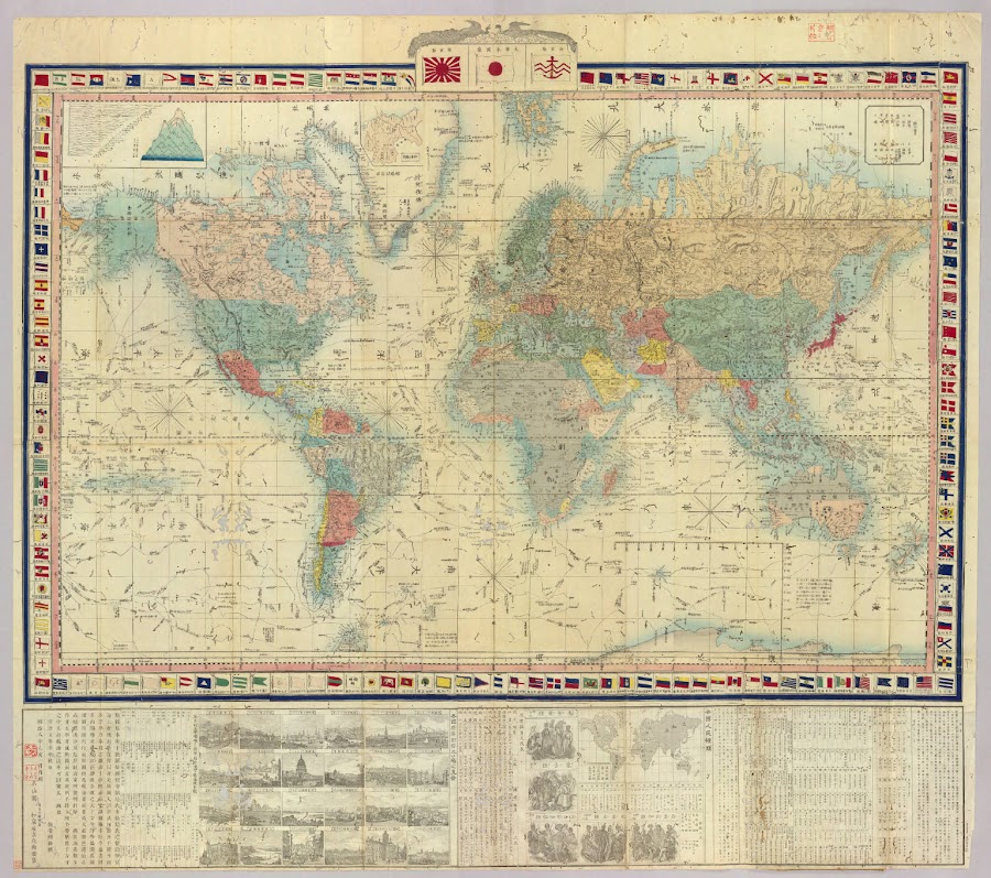
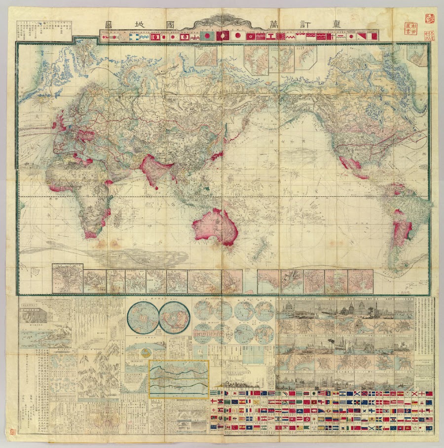
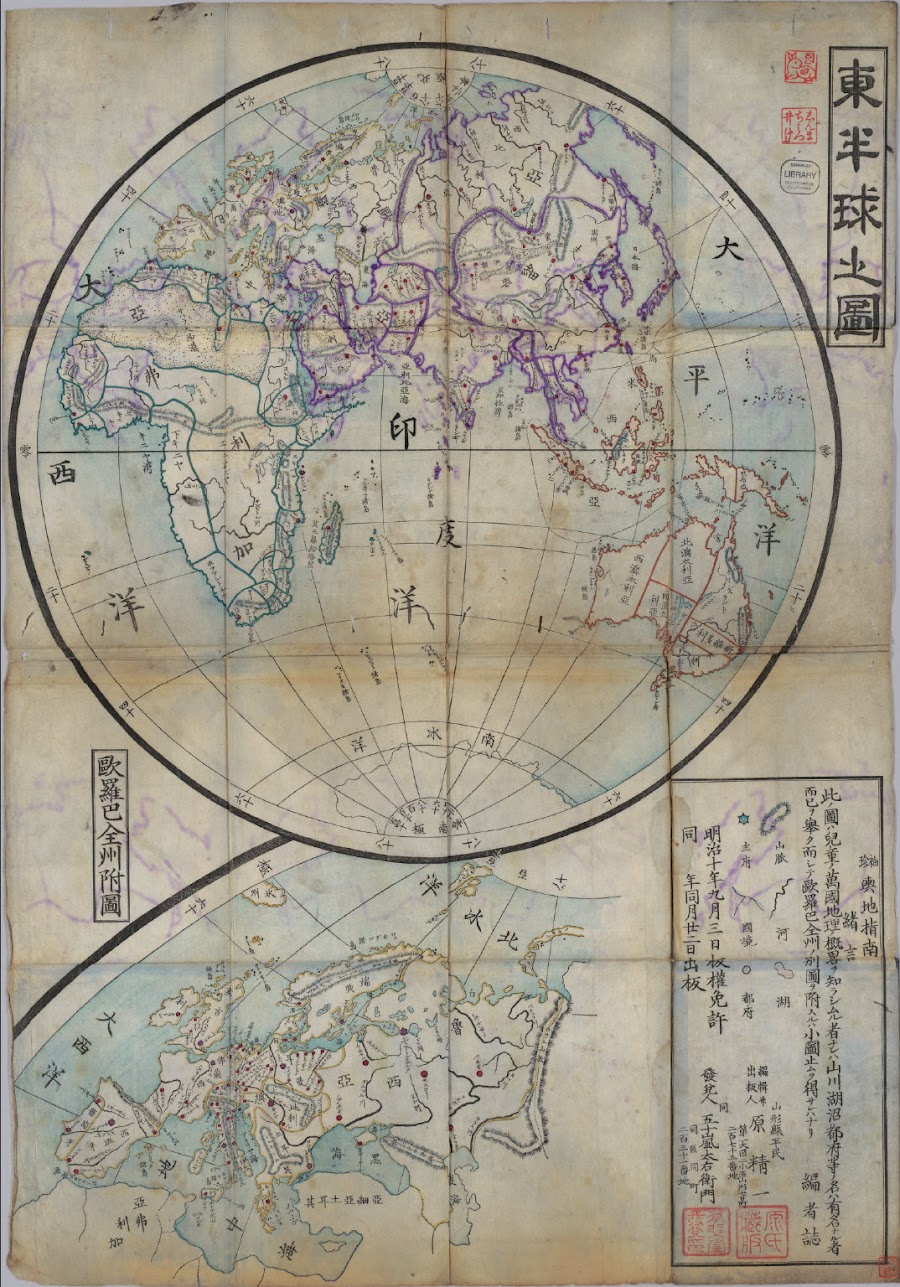
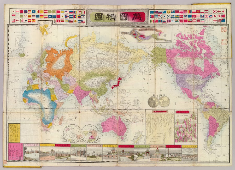

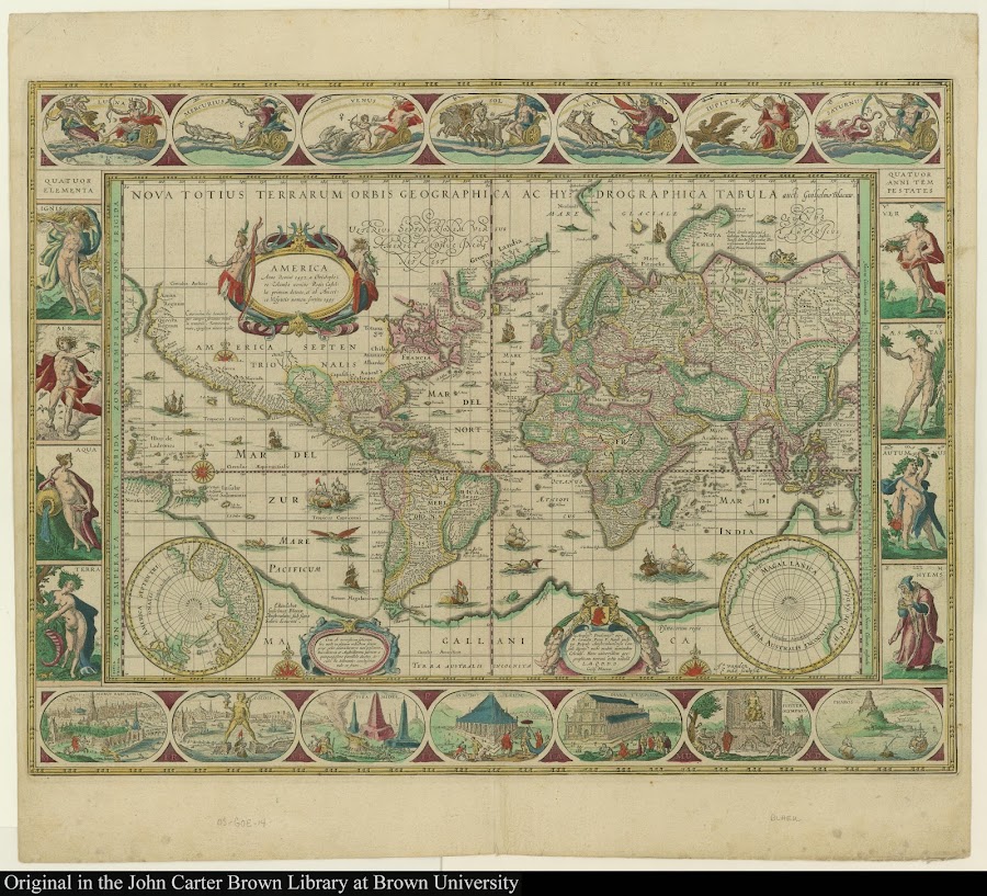
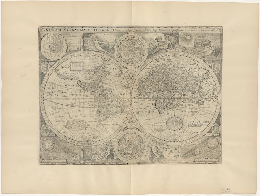


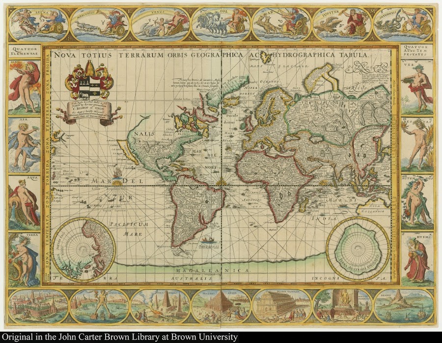
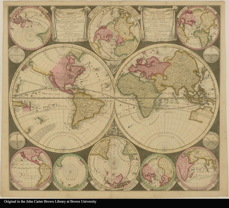


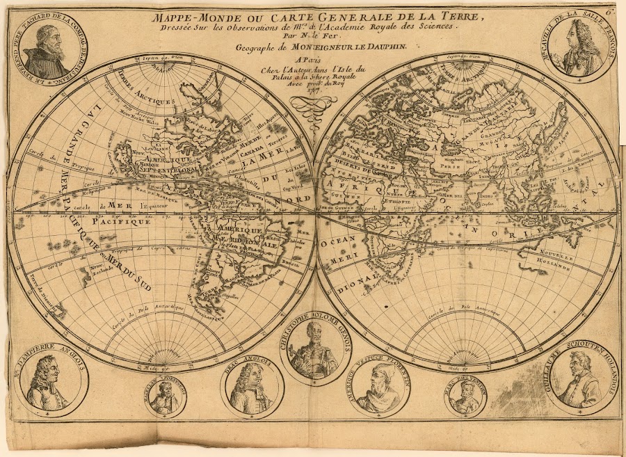

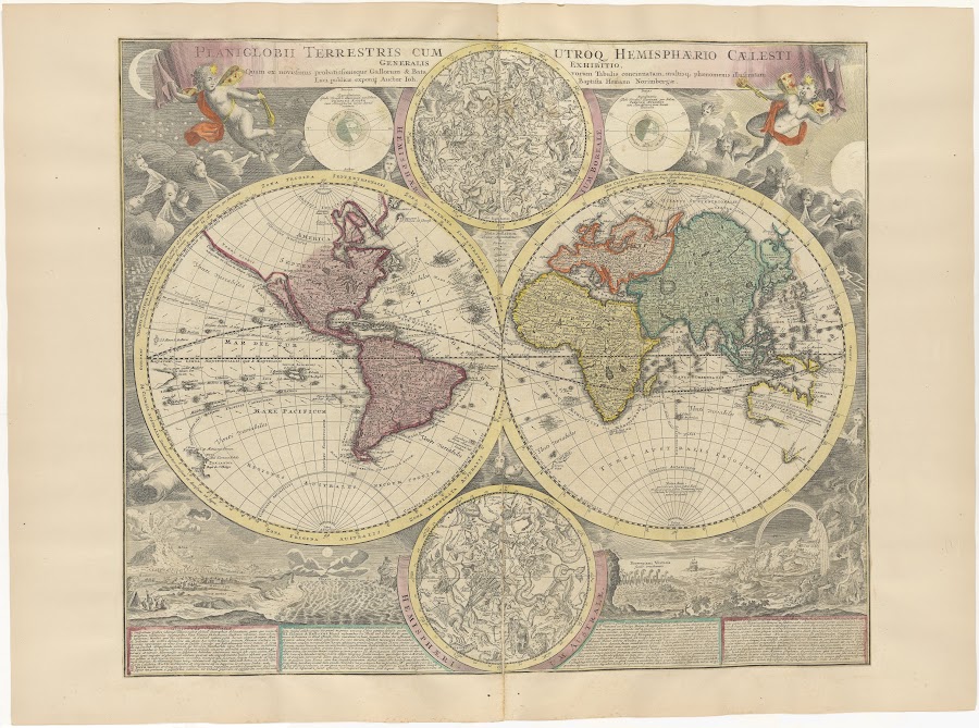
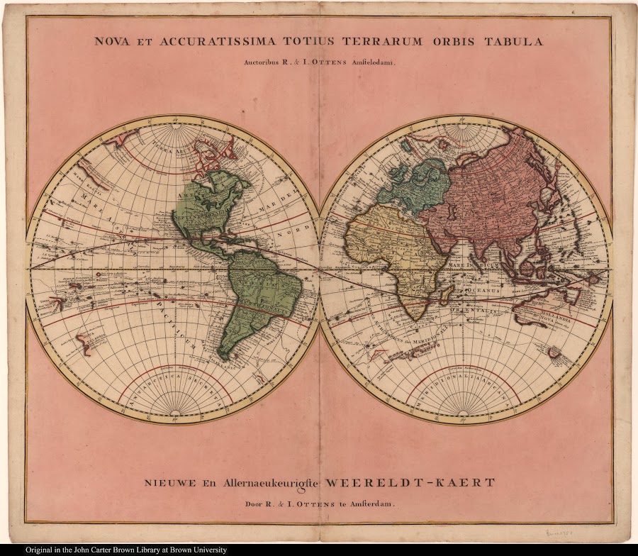

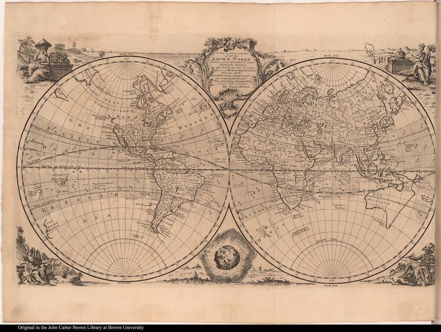
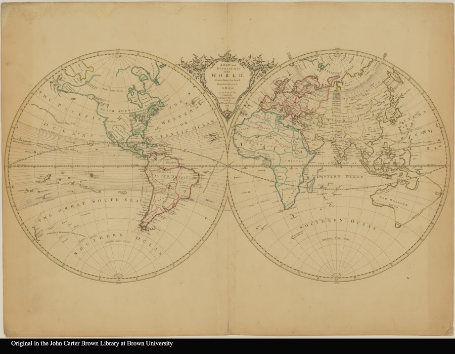
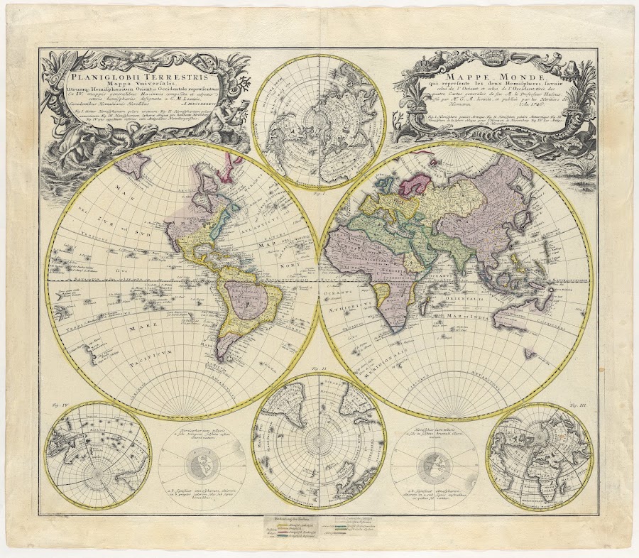
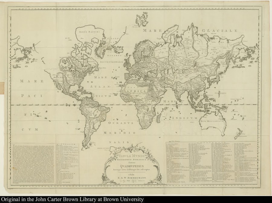
![1790_[Sheet 1] Chart of the world [North]](https://lh3.googleusercontent.com/d/1jCGMWak2Z200m295VcwfMuu60AyOtQbc=w900)
![1799_[Europe, northern Africa, and Asia]](https://lh3.googleusercontent.com/d/1PKFEJ5yyj-k1QUkVOoRIuSR5Lzly_Clj=w900)
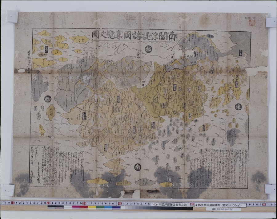
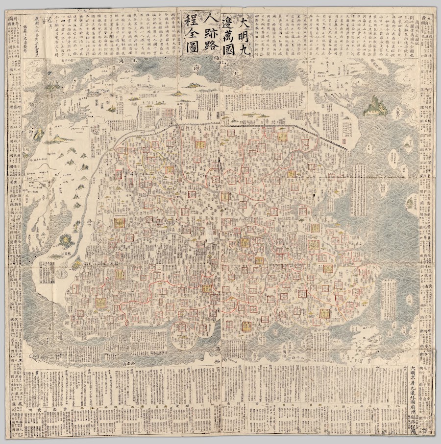
![1XXX_大明京省九邉外國府州縣路程圖_帝畿 [京都] : 梅村彌白](https://lh3.googleusercontent.com/d/1jAJN9higvFPujJ0tMPoajjRymkpri679=w900)
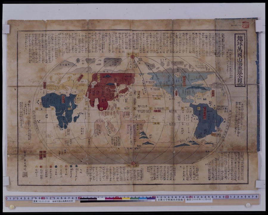
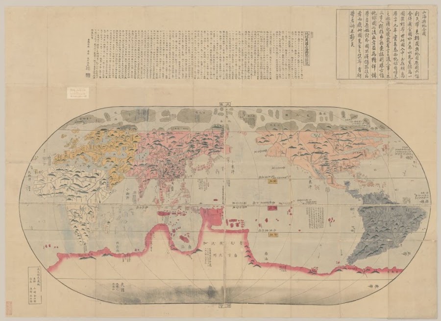
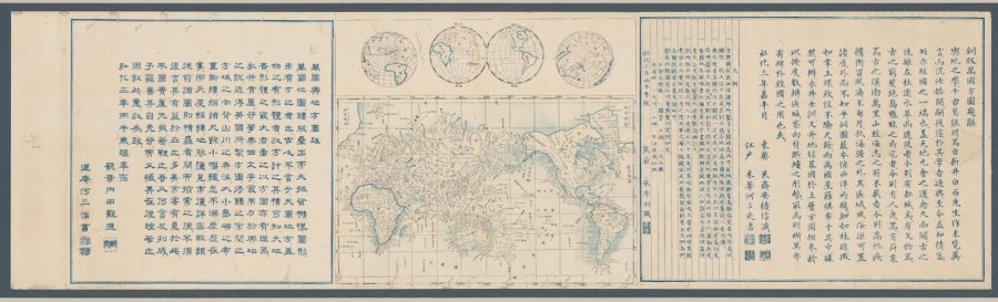
![1XXX_山海輿地全圖_浪速 [大坂] : 淺野弥兵衛](https://lh3.googleusercontent.com/d/11cs6OVwdXQLVYunqqBNqQv0AmDQzKzAT=w900)
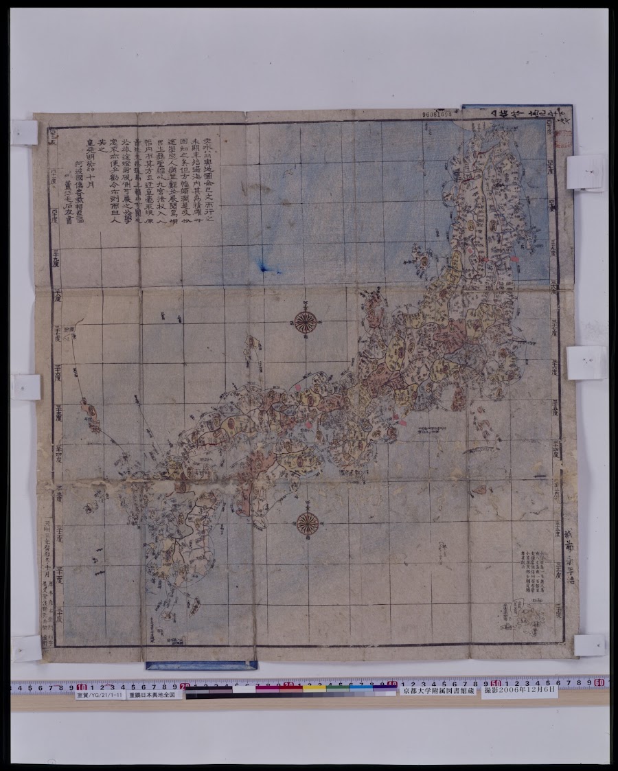
重鐫
![18XX_[地球の平均年間降雨量]](https://lh3.googleusercontent.com/d/1_oXxlVE3jbURWftgXJpYpbmYphZT60mJ=w900)
![18XX_[海盆]](https://lh3.googleusercontent.com/d/1sj4F-GabNtp2sA121TgobkcbJ3rA3DeP=w900)

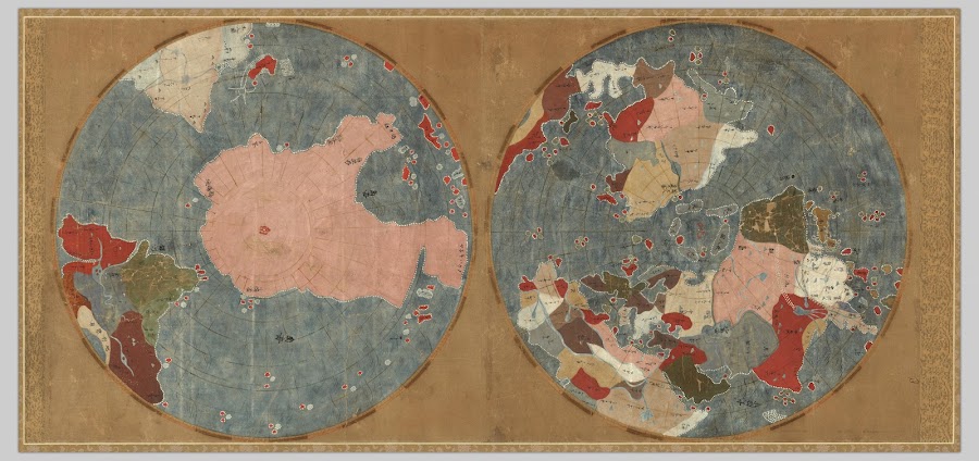
![18XX_坤輿全圖_[出版地不明]](https://lh3.googleusercontent.com/d/1k11UOFJ91JHARYl1MGvGsGan1lE2SPSn=w900)
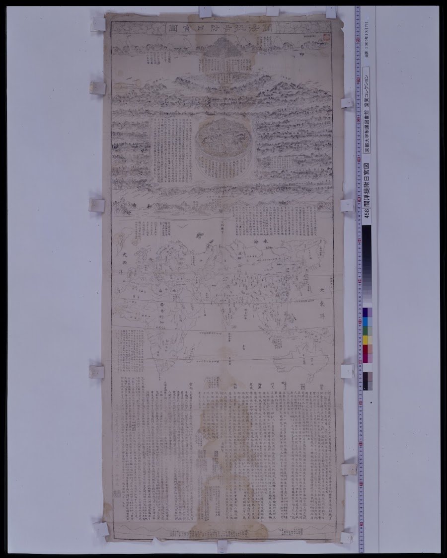


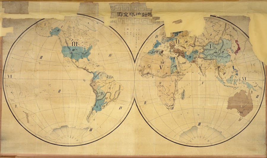
![1887_[動物分布図]](https://lh3.googleusercontent.com/d/1guvZVQg8PHo9UvQYcKYLkSgotesJc999=w900)
![1887_[海流]](https://lh3.googleusercontent.com/d/1MRF3vkXYnevlBiG9tUx7h0qlLHz4A_bV=w900)

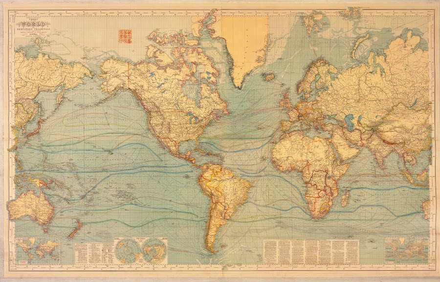
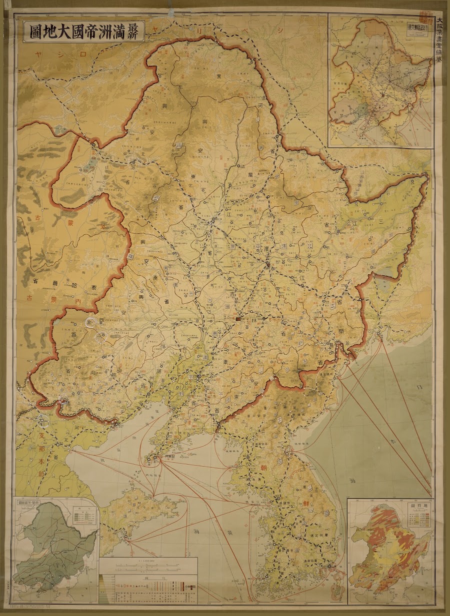
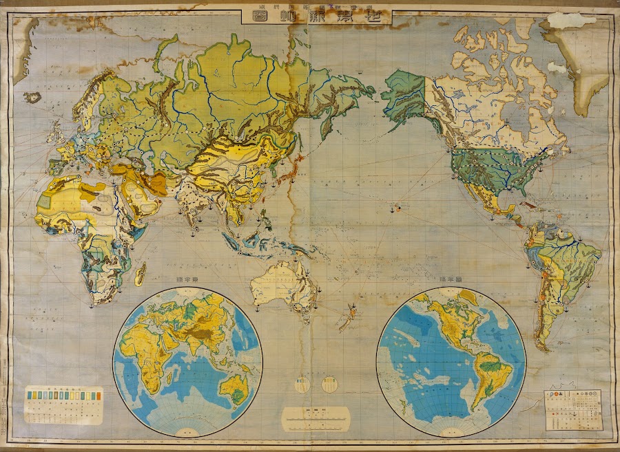



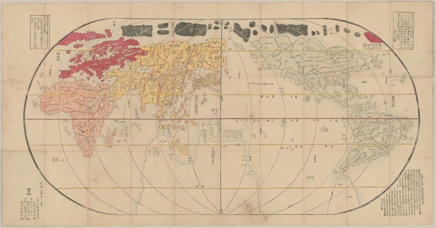
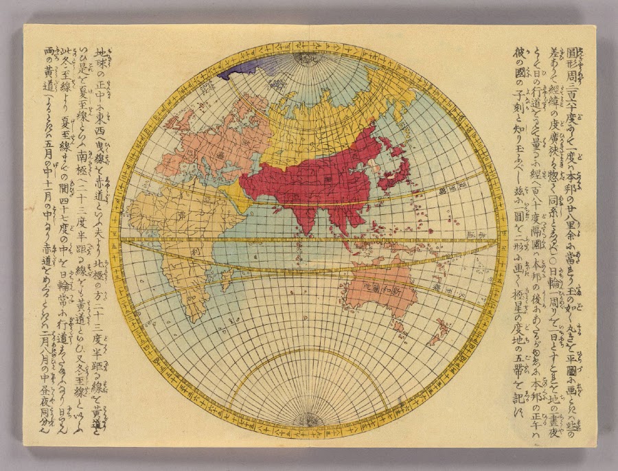
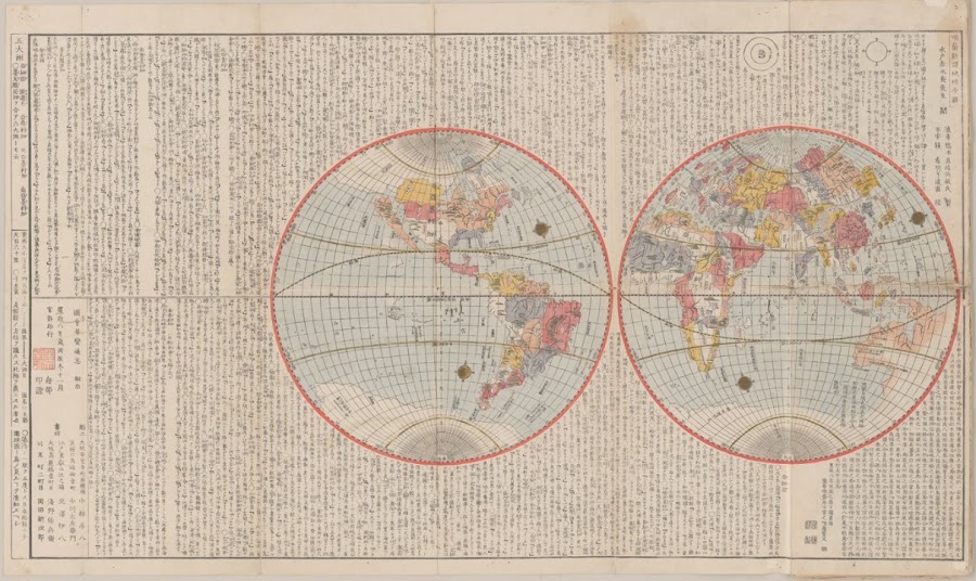
![1791_[地球一覧圖]](https://lh3.googleusercontent.com/d/1Mbo6AFIlw-OOyY2r80X4wu9E8IqtD2xO=w900)
![1792_[地球楕圓圖]](https://lh3.googleusercontent.com/d/1XzIsk1O3lTjhht8b3ZmlNhLSn2kUanSL=w900)
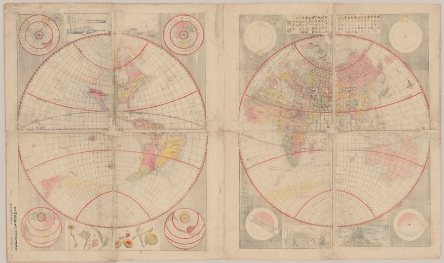
![1797_[地球圖]](https://lh3.googleusercontent.com/d/1H8Yki-B9sy9DehClyCgto8-xLgs0ad87=w900)
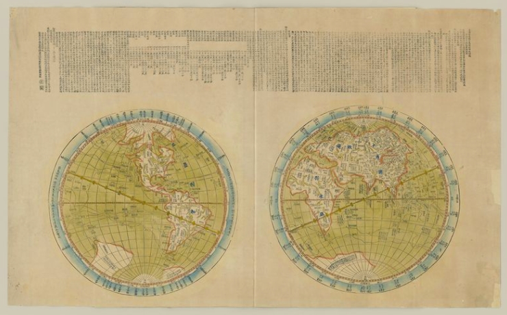
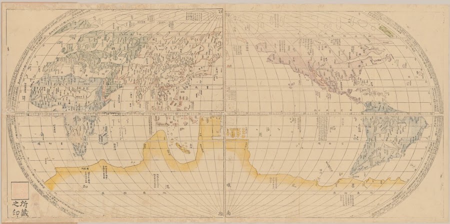
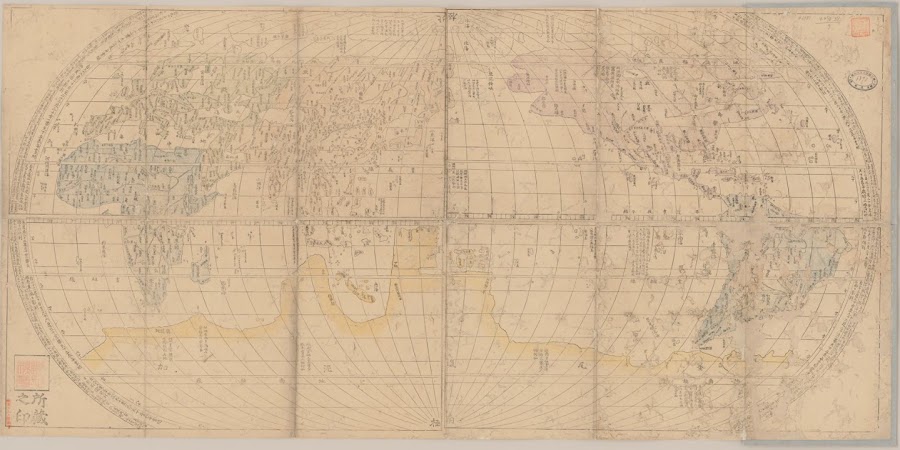
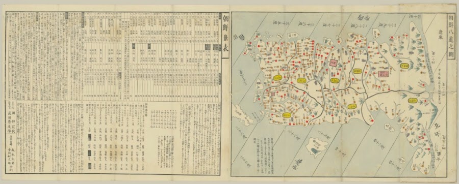
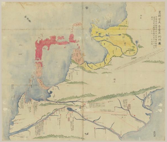
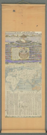
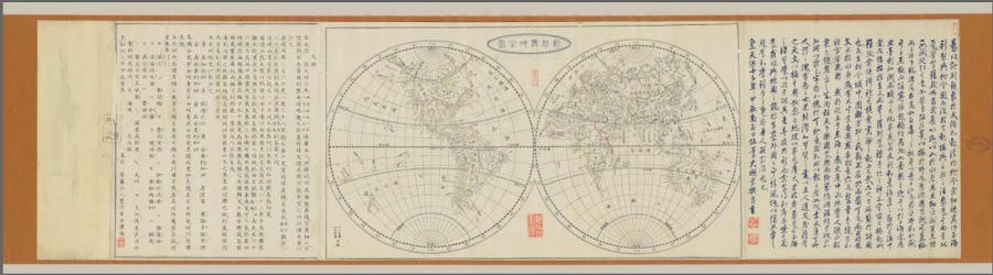
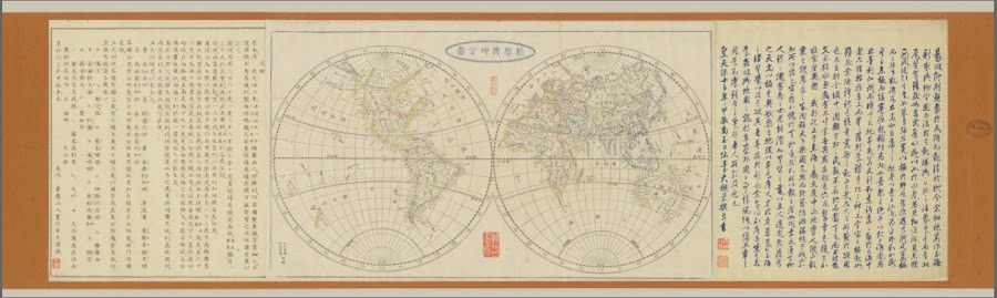
![1809_新鐫總界全圖_高橋 景保 [作]](https://lh3.googleusercontent.com/d/1Jae8iD0CRGx_trvmtFiU50U_1WXB_SYf=w900)
![1810_[地球輿地全圖]](https://lh3.googleusercontent.com/d/10vSY4S2qGQ8L3O4Wc6cfjss4r2_hMcJi=w900)
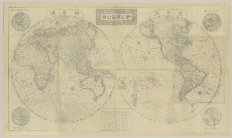
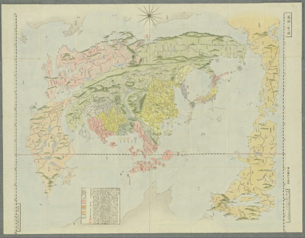

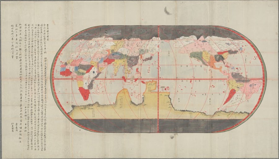
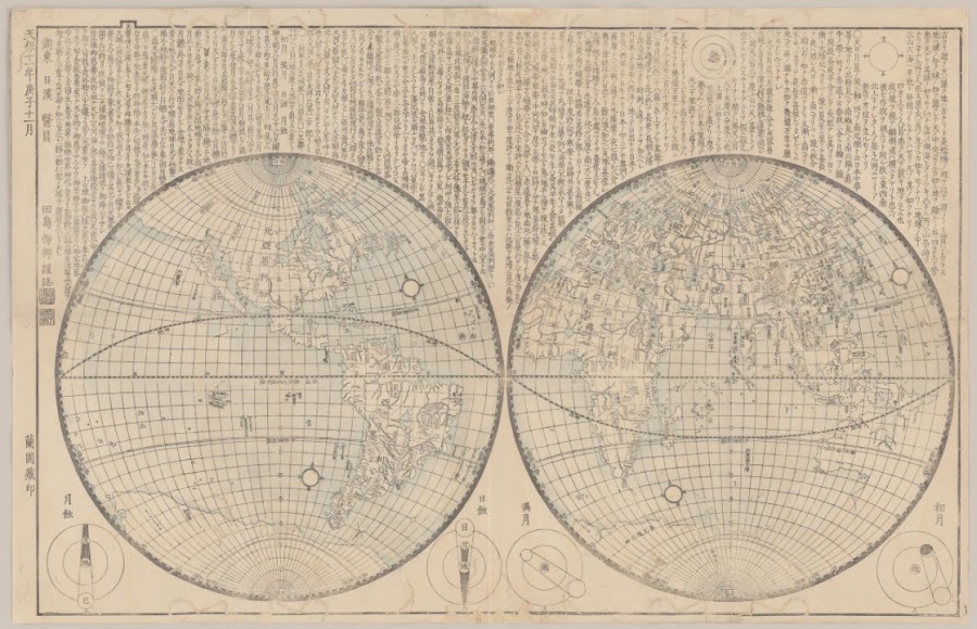
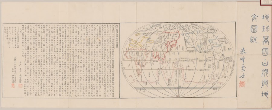
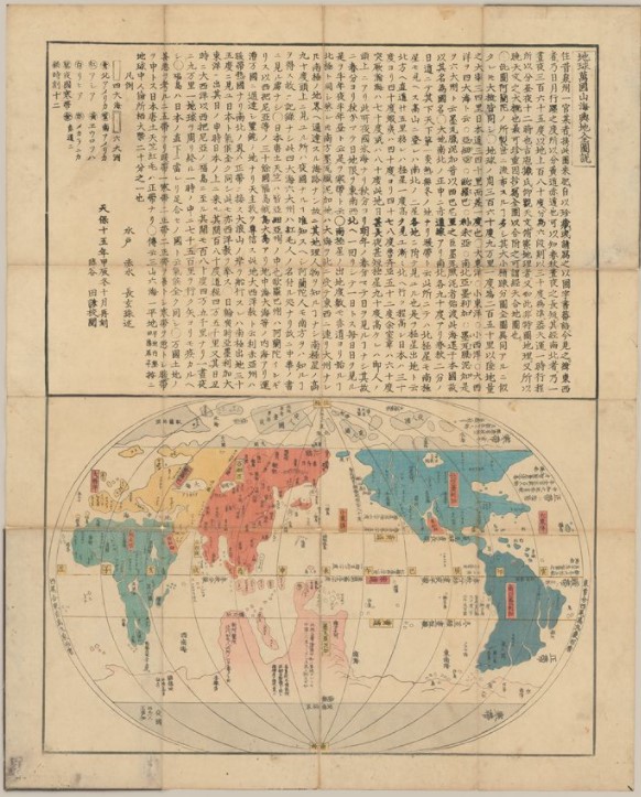

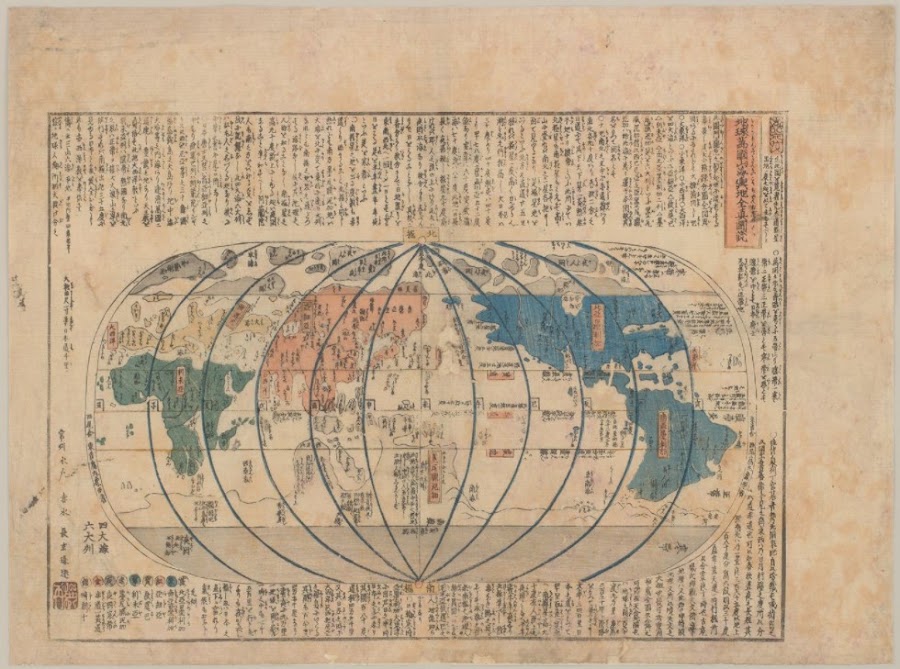
![1645; [After 正保 (Shōhō) 2]](https://lh3.googleusercontent.com/d/1j9mUJ_GMGZsL8mbZbcbepVzrKMSCONX6=w900)
![1702_[Dai Nihon shōtō zukan]](https://lh3.googleusercontent.com/d/1QL2ufVZyw_vnFJYCvU5iojznlg7Zgwqm=w900)
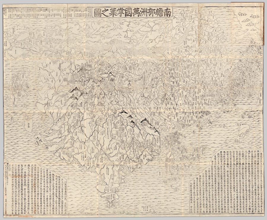
![1703_[Nihon sankai zudō taizen]](https://lh3.googleusercontent.com/d/191HKTVXH_TfU7T-ZU72qCcPW6jhV7RHq=w900)
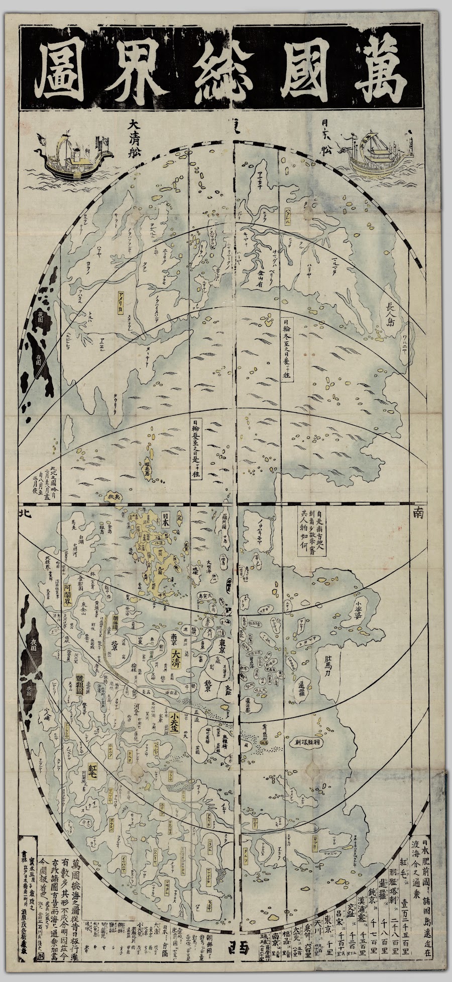
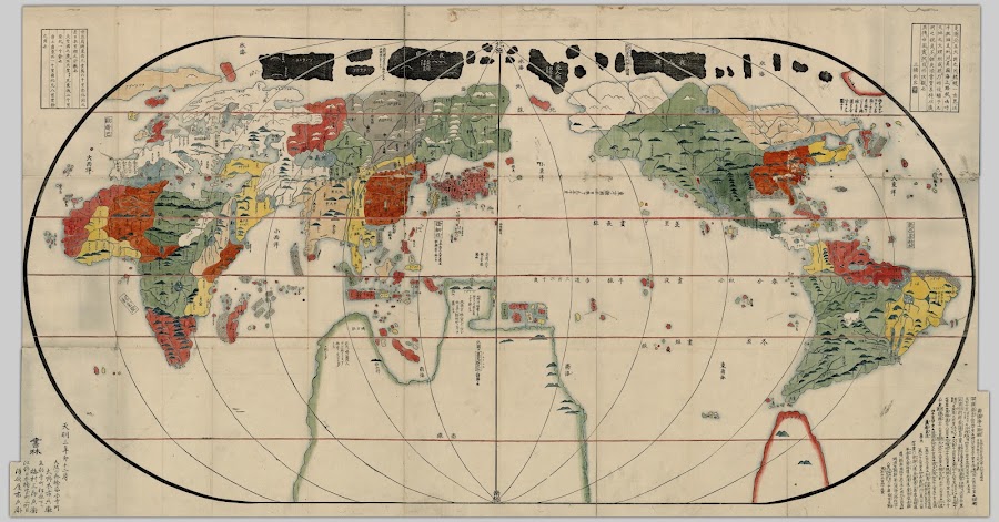
![1708_[Sekai bankoku chikyū zu]](https://lh3.googleusercontent.com/d/1Cf4DyvWdNTW5GKxW8KoxPFLpB59w6Q15=w900)

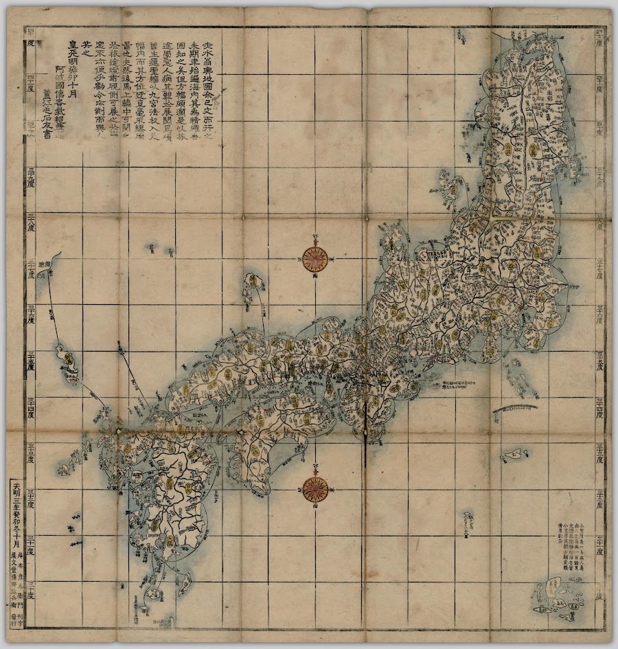
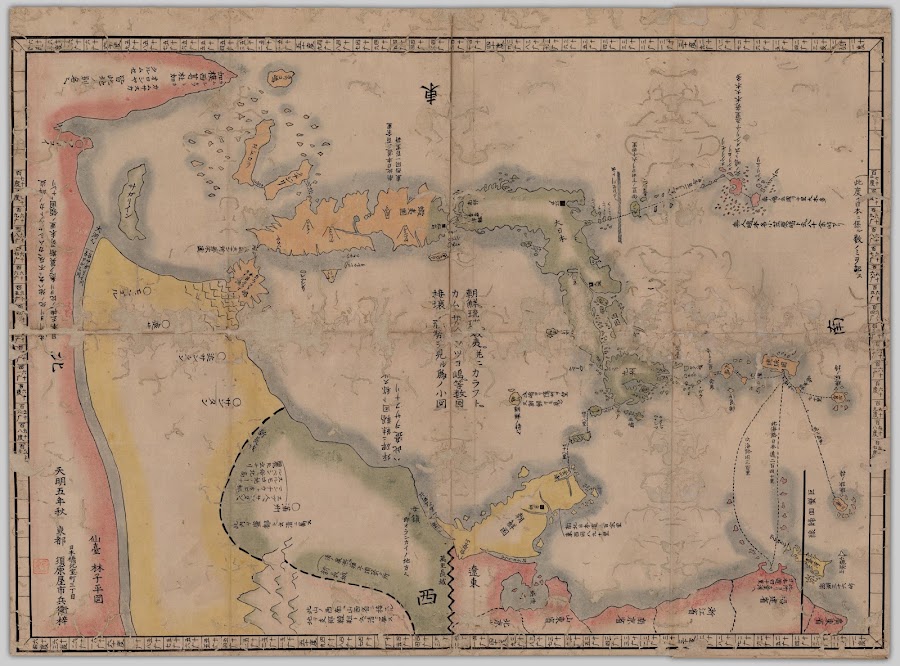
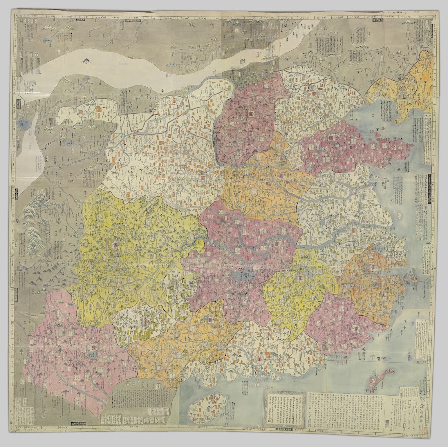
![1800; [Late Edo era?]_Kaisei Nihon yochi rotei zenzu](https://lh3.googleusercontent.com/d/1fZDTVwMFwog0LzJYSXrxjSC3a_5CmSS_=w900)
![1800; [Late Edo era]_[Chōsenkoku zenzu]](https://lh3.googleusercontent.com/d/1tSCOOVrXRGhTyftt0e7Bc5l_3iyuCBfN=w900)

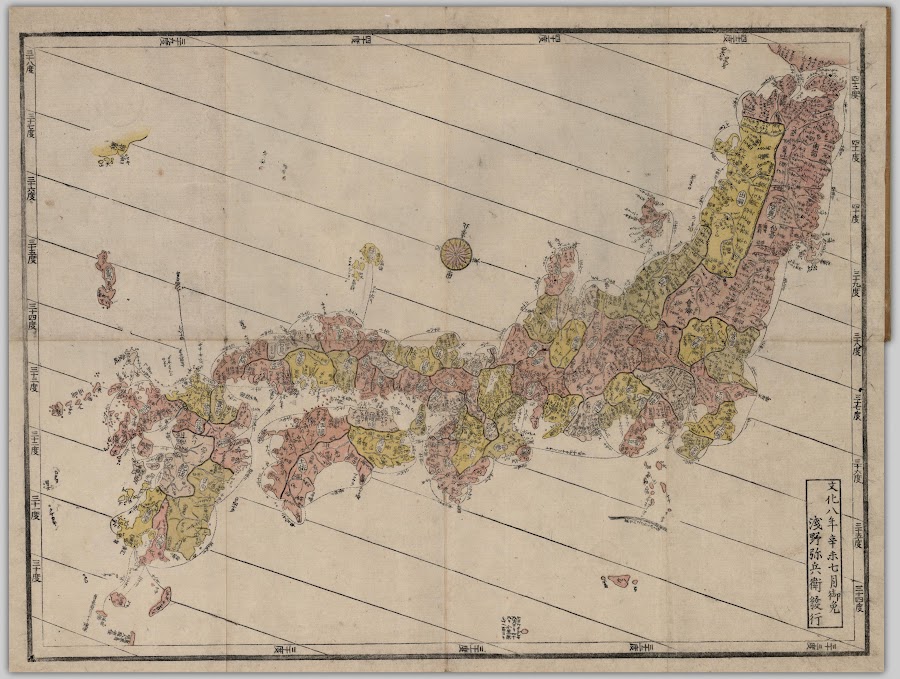

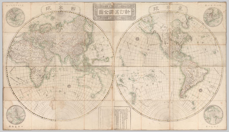
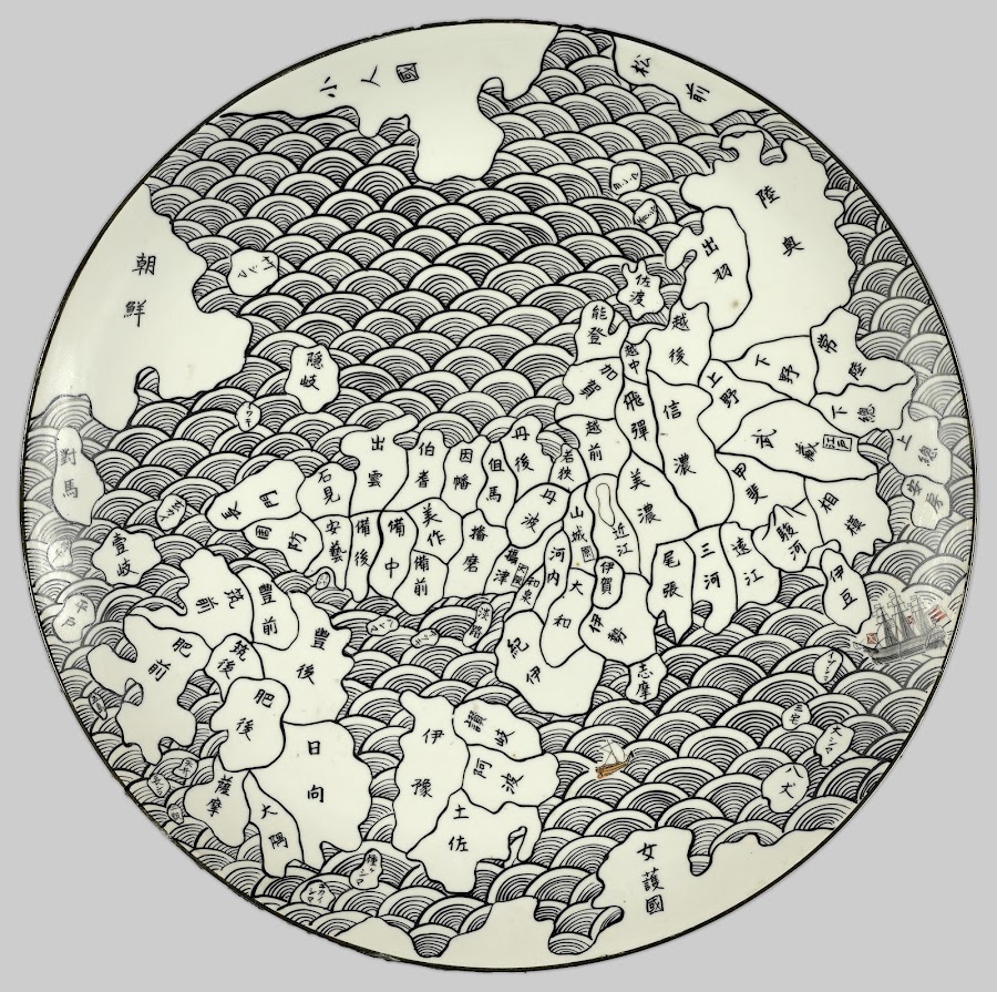
![1830; [ca. 天保 (Tenpō) 1]](https://lh3.googleusercontent.com/d/1VZ0lhdI8tC64GsnOPVoEzSotN2zm8DnJ=w900)


![1850; [Late Edo era]_Sekai bankoku Nihon yori kaijō risū ōjō jinbutsu zu](https://lh3.googleusercontent.com/d/13TO6PXPaIu_lGkF4FzLif0qL6W1JP1CR=w900)
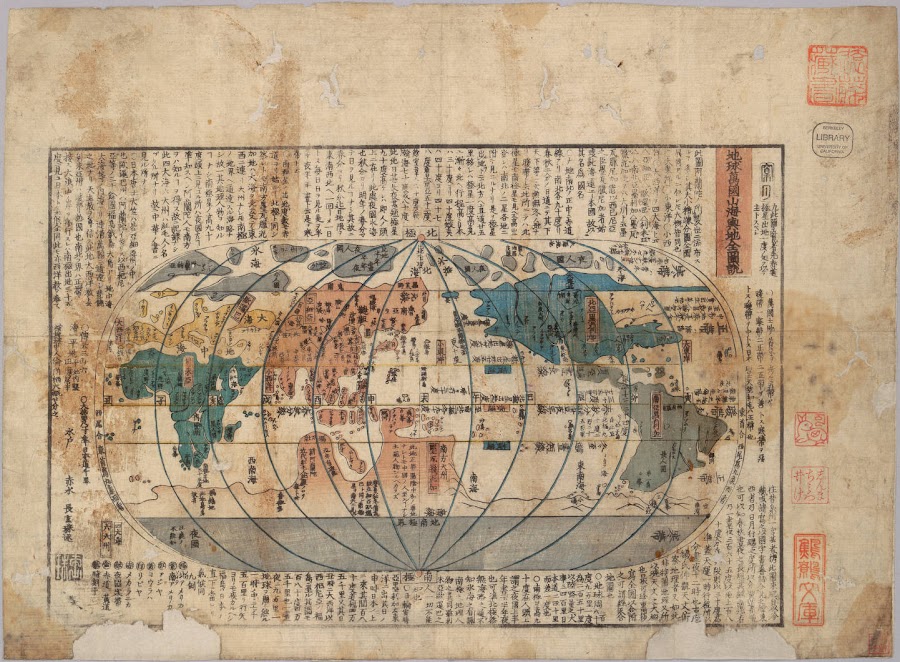
![1850; [Between 嘉永 (Kaei) 3 and 7]_Kaei aratame Chikyū bankoku sankai yochi zenshin zusetsu](https://lh3.googleusercontent.com/d/1R-PglRr0q9Kg3nFXGS1qlTjpbixgJx4l=w900)
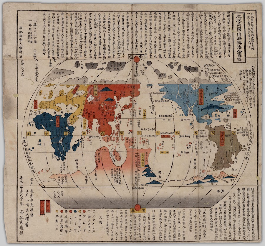
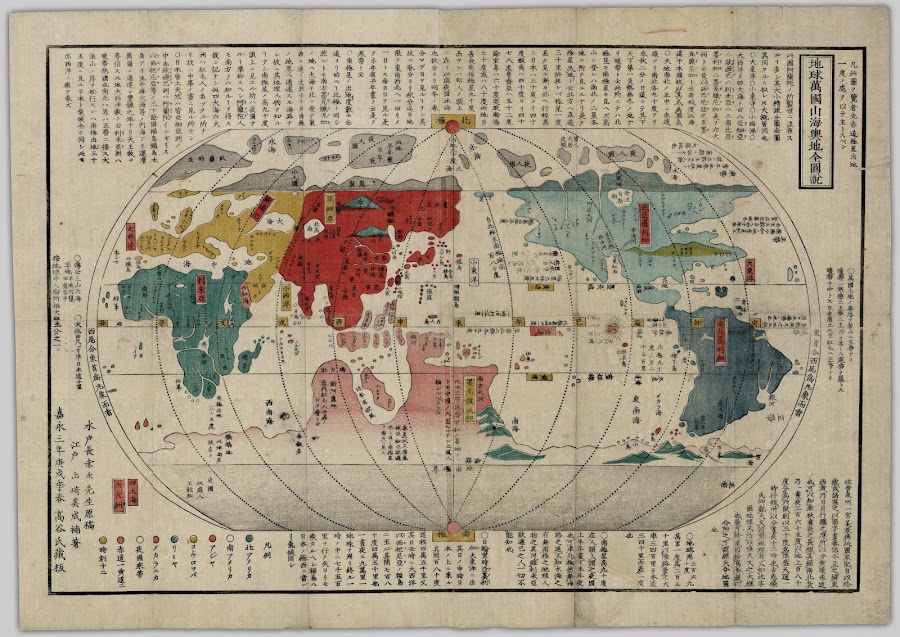


![1855; [安政 (Ansei) 2]_Colton's Japan](https://lh3.googleusercontent.com/d/1Z3xkQ9zjFMvq2Jck8s8icxdytTMNKGu6=w900)
![1862; [文久 (Bunkyū) 2]_Shinkan Yochi zenzu](https://lh3.googleusercontent.com/d/1wAARx134m_in8QWflpdoshVgiNRpxAT3=w900)










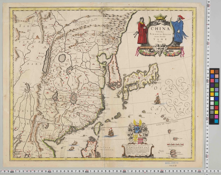

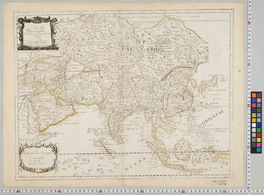
![1683_[Allain Manesson-Mallet]: La Chine](https://lh3.googleusercontent.com/d/1-k-TrOA41wZpXV2ggZpCzfxkYEKAzYcn=w900)